
SACRAMENTO, Calif —
An extremely impactful atmospheric river event is ending, but widespread impacts are still expected on Monday, particularly in the Sierra Nevada.
As of Monday morning, most Sierra locations above 5,000 feet have received 1-2 feet of snow in the last 48 hours.
The recent snowfall has helped to bump the statewide snowpack percent of average to 72% and that number will continue to rise. In the valley, the heavy weekend rain helped to push Sacramento above normal in terms of rainfall for the first time since the middle of October during this water year which started on October 1.
The Central Sierra Snow Lab, located near Donner Summit, received 20.7" of snow in the last 48 hours with 14.8" of that total occurring in the last 24 hours as of 9 a.m.
Totals from the last 5 days are very impressive across the Sierra. Mammoth Mountain led the way with a whopping 71" while most ski resorts in the Tahoe area received 3-4 feet of snow.
Periods of heavy snowfall rates will continue in the Sierra on Monday with another 3-10" expected. This will help to push some locations above the three-foot mark from this system alone.

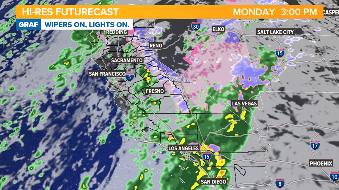
Light snow showers are expected on Tuesday as the storm finally vacates the region. Another weak system is expected on Wednesday but it is only expected to produce a few inches of snow above 5,000 feet.
Temperatures will remain on the cool side throughout the week in the Sierra and the valley. Sierra high temperatures will be in the 20s and 30s throughout the week and 50s are expected in the valley.
WATCH ALSO:


