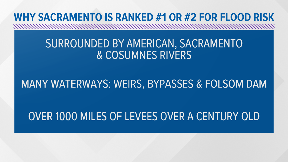
SACRAMENTO, Calif. — Sacramento is typically ranked first or second in the country for the risk of flooding.
The region is surrounded by the Sacramento, American and Cosumnes Rivers. The American and Sacramento Rivers have flood control measures like weirs, bypasses and Folsom Dam. The Cosumnes River is an uncontrolled and natural river running from the Sierra Nevada foothills and flowing into southern Sacramento County.
Most of the area is farmland, and farmer levees were made for containing storm flows.


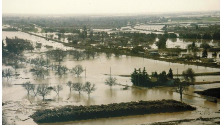
Much of the flood control system is over a century old. Some parts of the aging infrastructure is undergoing retrofitting to protect much of the growing population from catastrophic flooding like that in 1986, ’92, ’96, ’97 and 2017.
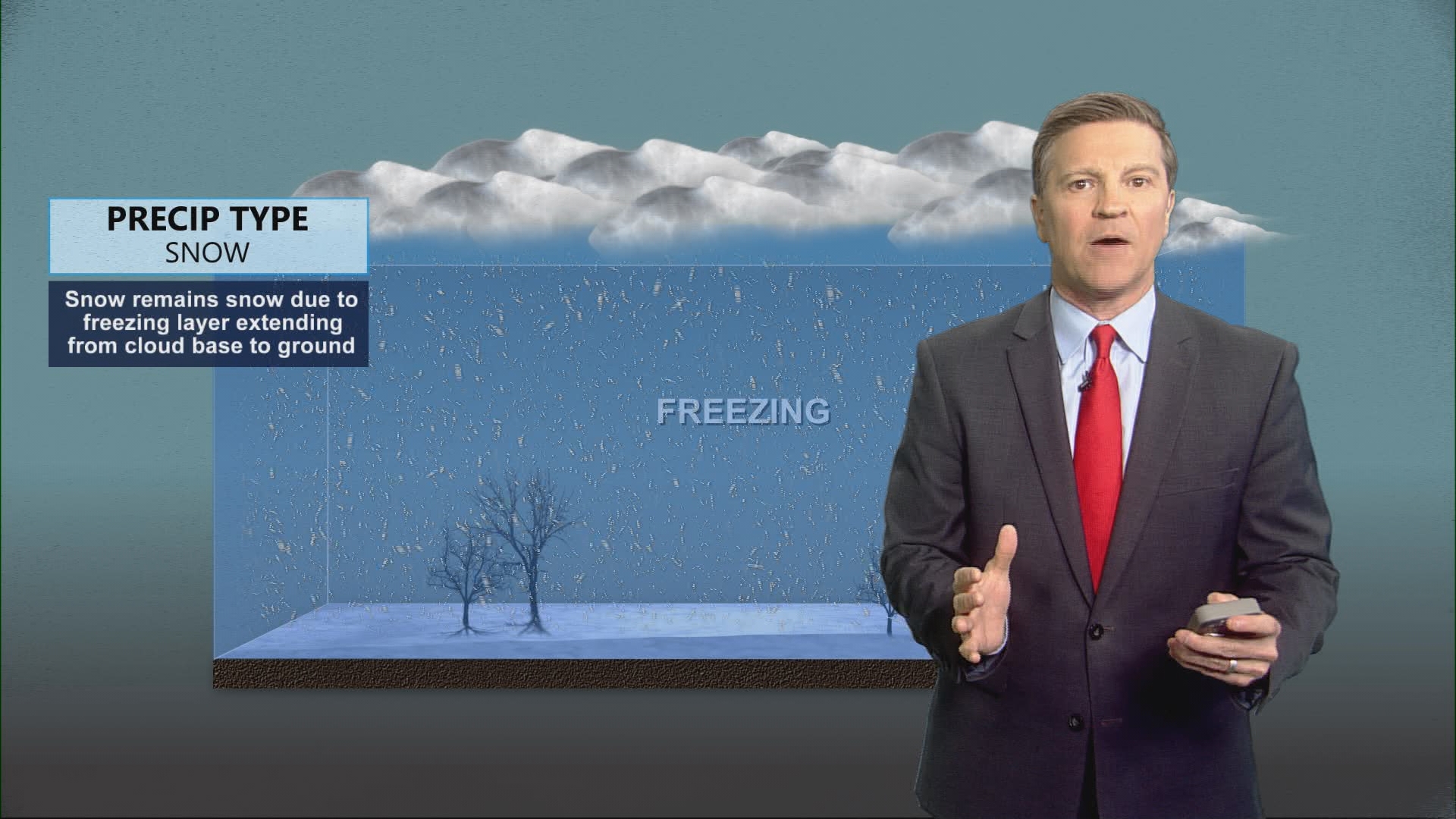
Some of those major floods were due to big atmospheric rivers, dumping rain in the valley and snow in the Sierra. Warmer weather followed and quickly melted snow, sending too much water downhill. The rivers, streams and dams couldn’t hold it all. Water began overflowing riverbanks and putting pressure on levees that eventually gave way, allowing water into low-lying areas.
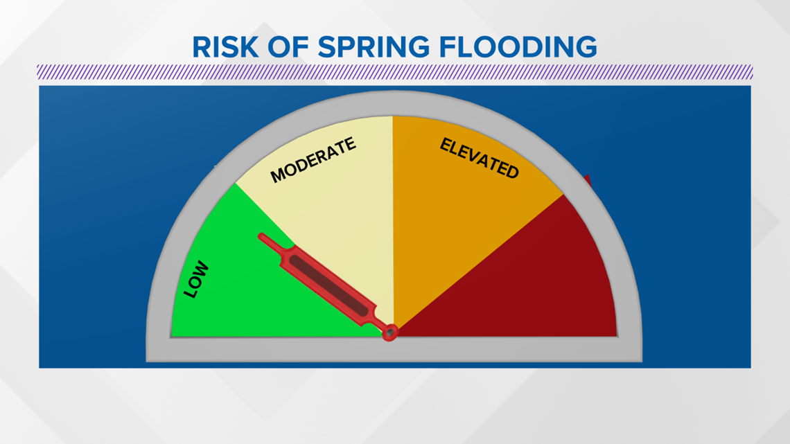
This year, the California-Nevada River Forecast Center is forecasting a low potential for flooding due to spring snowmelt.


The latest snow measurements show the statewide average is at 60%. Most of the state is also experiencing some level of drought conditions.
March, April and May could still bring large storms with heaving rain and snow. This will keep flooding a concern in California with the potential of accumulated rain plus snowmelt through the spring season.
Click here for more on the risk of flooding in Sacramento County.
The City of Sacramento and Sacramento County also have more information on how to know your flood risk.
Heavy rainfall turned into flash floods, taking lots of Tuolumne County residents completely by surprise. According to the Sonora police chief, a flash flooding event like this hasn't happened since the 90s.


