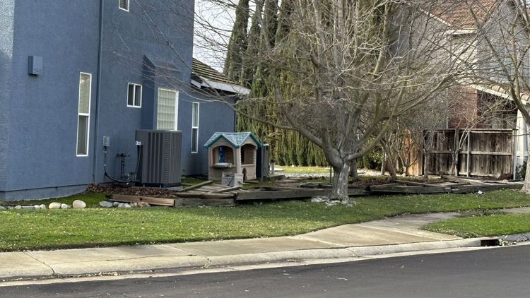
CALIFORNIA, USA — Northern California isn't done with rainy weather just yet. After a series of atmospheric river storms, Tuesday is expected to be another wet and windy day.
Some clearing is possible during the afternoon hours, and this is important because the more clearing we see, the warmer we'll be. With unstable air present this afternoon, there is a good chance for thunderstorms.
Be prepared for rapidly changing weather conditions this afternoon. Thunderstorms are likely to develop and move quickly across the valley. The primary threats with these storms will be brief but could bring heavy downpours, gusty winds, and even funnel clouds.
Watches, Warnings, and Advisories in effect:
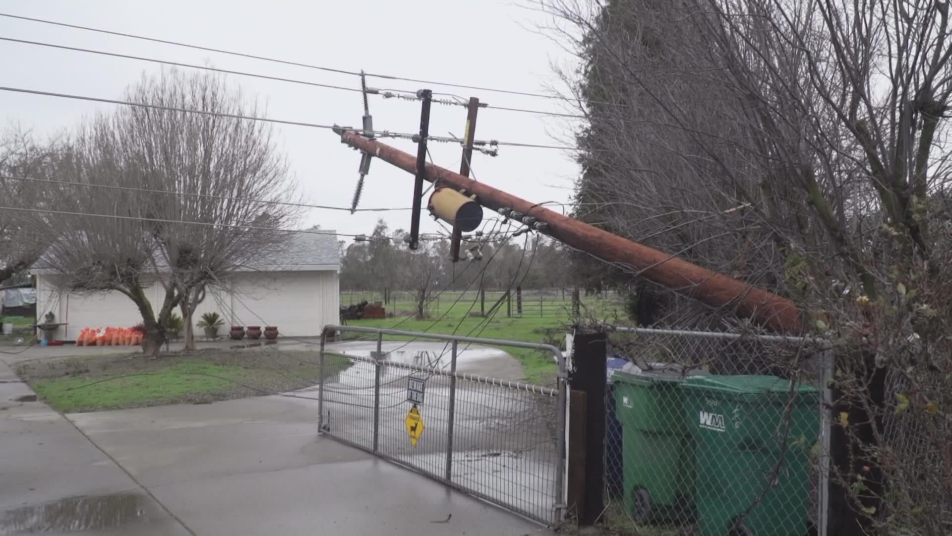
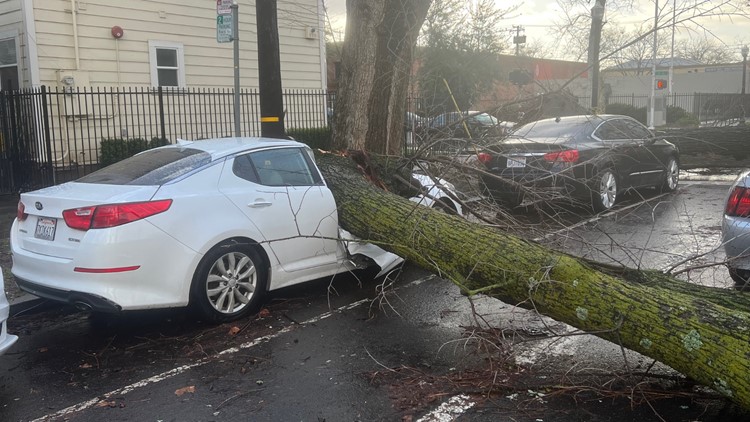
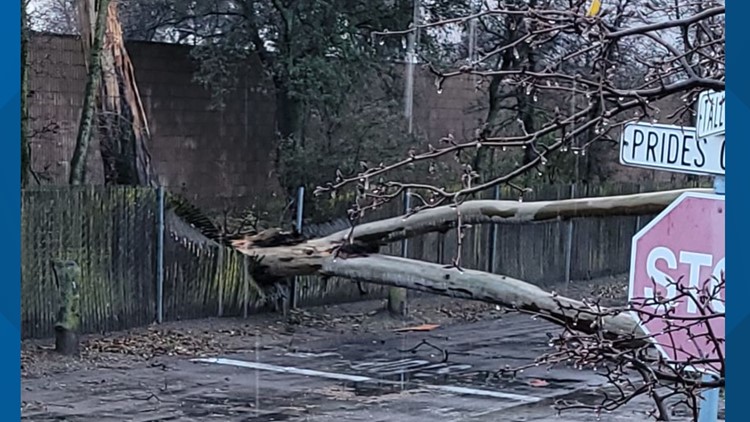
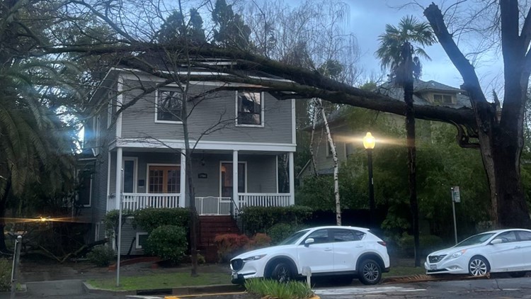
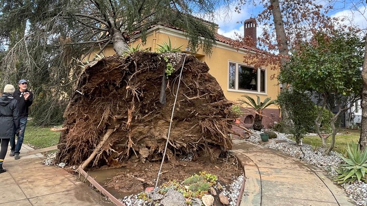
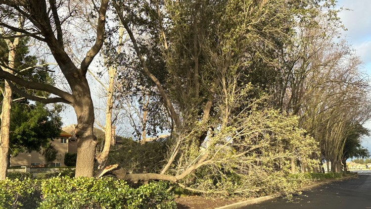
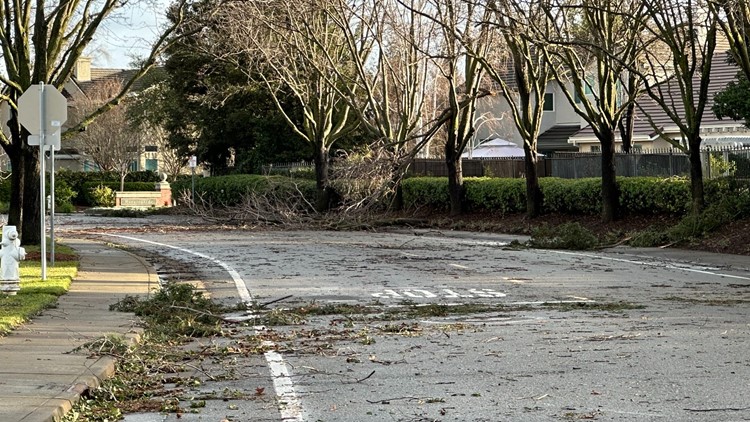
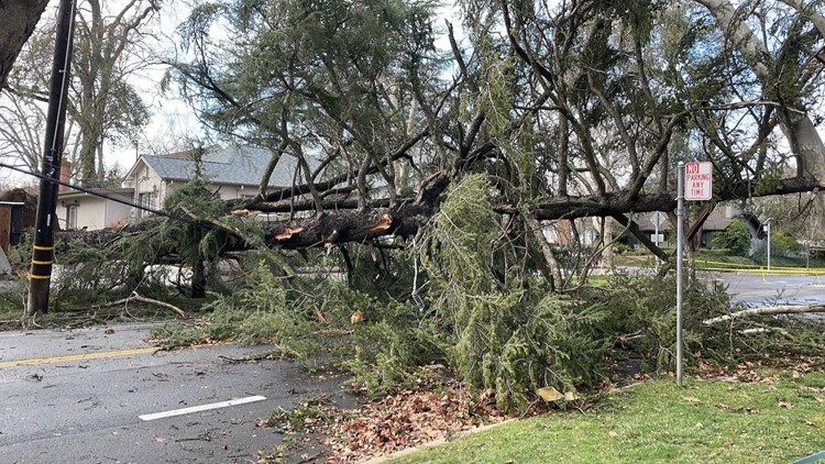
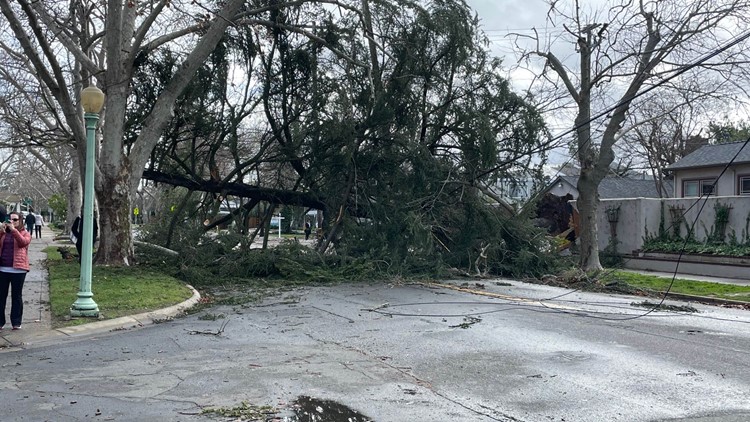
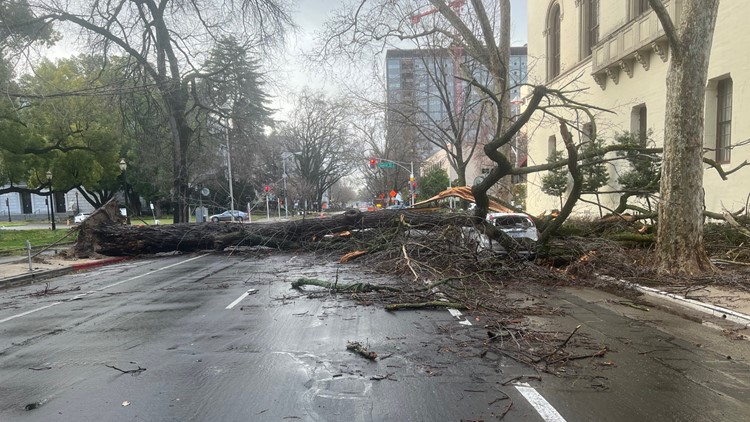
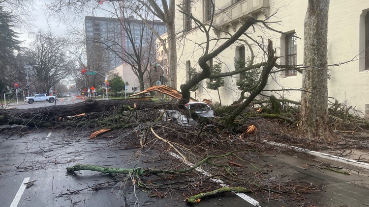
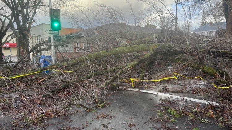
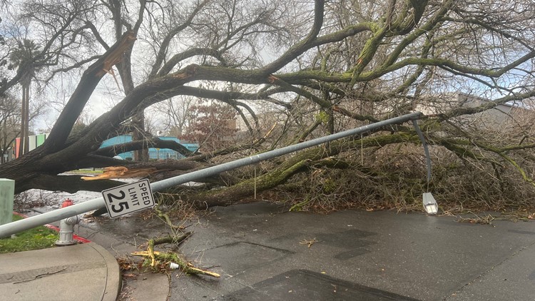
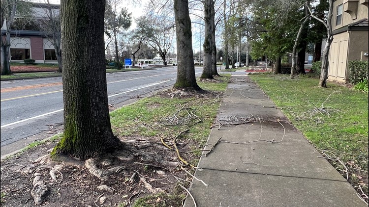
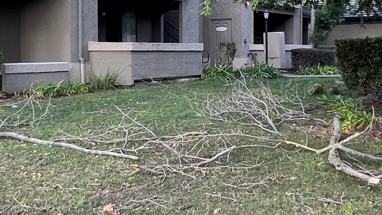
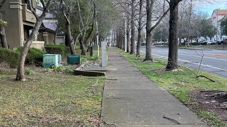
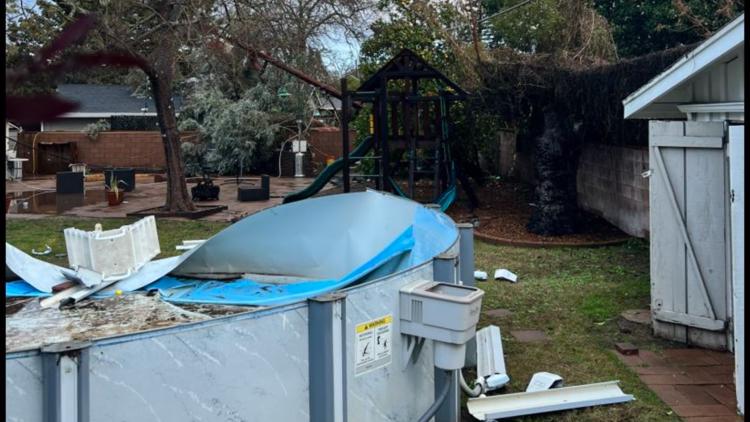
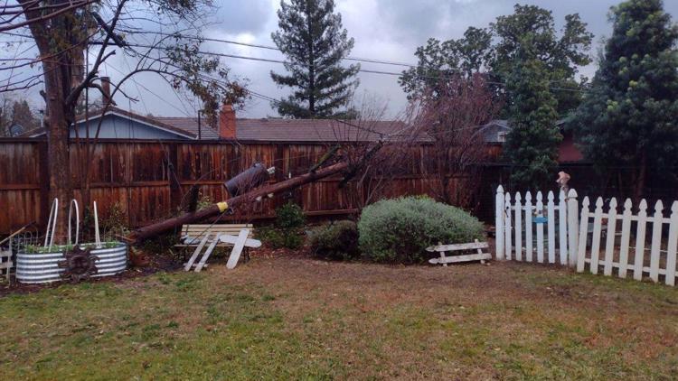
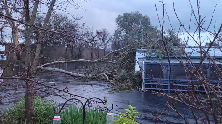
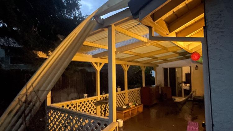
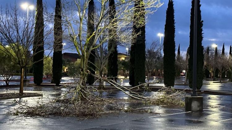
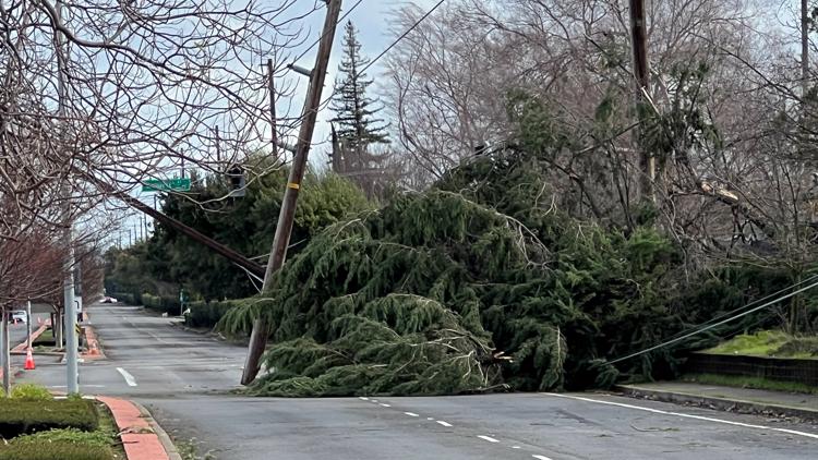
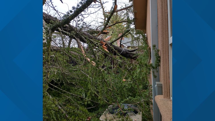
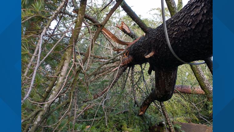
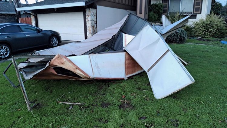
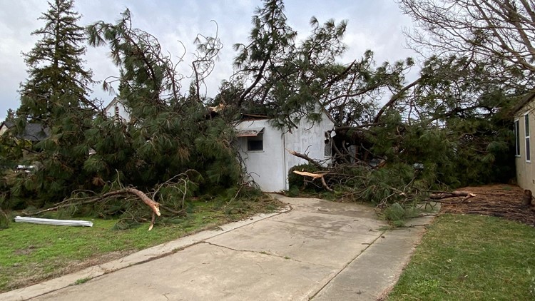
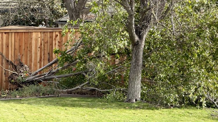
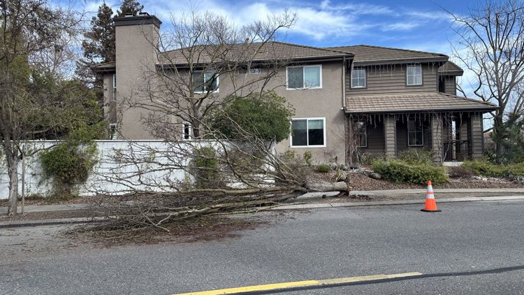
- A Wind Advisory is in place for the valley out to the coast Tuesday from 4 a.m. to 1 p.m. Sustained winds of 15 to 25 mph are expected, with gusts between 30 and 40 mph. The saturated ground will make trees vulnerable to falling.
- A Flood Watch is in place from the coast to the Sierra foothills, covering just about all of Northern California from now until Wednesday afternoon. Rivers will be running high, with creek and stream flooding likely.
- A Winter Storm Warning from now through Tuesday afternoon. One to 4 feet of snow is expected across the Sierra above about 6000 feet. Snow levels will be rising and falling through Wednesday.
Evacuations
Stanislaus County
An evacuation order for the Newman area of the San Joaquin River and "east" River Road was issued. A map of the evacuation area is available here.
El Dorado County
Evacuation orders and warnings have been lifted in El Dorado County. Based on flood risk, evacuation warnings have been lifted for Highway 50 and White Hall, along with Highway 49 and Union Mine Road to the Amador/El Dorado County border.
Sacramento County
An evacuation order was lifted for the Wilton area Tuesday, according to the Sacramento County Office of Emergency Services.
"Those returning home should remain alert to localized flooding and road conditions, emergency response and maintenance crews are still working to clear roads and restore outages," Sacramento County OES wrote in a statement.
Read more about the evacuation HERE.
► STORM SCENES: Photos and video of the latest storm damage
Maps
Radar map from ABC10.com. Adjust the layers with a filter on the bottom right corner to show rain, snow, wind and current temperatures:
STORM RESOURCES:
► RESOURCES | Helpful information and emergency resources to get you through this storm
► FORECAST DETAILS | Check out our hourly forecast and radar pages.
► GET WEATHER ALERTS TO YOUR PHONE | Download the ABC10 mobile app
► WEATHER IN YOUR EMAIL | Sign up for the ABC10 Today newsletter
TRAFFIC
Live map showing traffic conditions along Interstate 80, Highway 50, and Highway 89 around Lake Tahoe and the Sierra Mountains.
Snow Park locations are identified with purple markers.
Sacramento Valley traffic from Waze (zoom in to where you want to go):
Power Outages
PG&E power outages:
SMUD outages can be found HERE.
Roseville Electric Utility outages can be found HERE.
Lodi Electric Utility outages can be found HERE.
Click HERE for more ABC10 weather maps.
Chain Controls
Interstate 80
- Traffic is being held eastbound at Colfax and westbound at the Nevada state line due to whiteout conditions over Donner Summit, according to Caltrans.
- Closed in both directions from Applegate to the California/Nevada state line to tractor-semitrailer combinations towing double trailers due to whiteout conditions, according to Caltrans.
Highway 50
- Chains are required on all vehicles from 3 miles east of Kyburz to Meyers in El Dorado County, according to Caltrans.
Highway 88
- Chain controls are in place for all cars from Cook's Station to Peddler Hill in Amador County in both directions, according to Caltrans.
- Part of the highway is closed between Peddler Hill Summit in Amador County to Kirkwood in Alpine County due to snow. Check the Caltrans road conditions maps for the latest.
Highway 4
- Chain controls are in place for all cars in both directions, from 1 mile east of Arnold in Calaveras County to Mount Reba Turnoff in Alpine County according to Caltrans. The highway is closed in both directions from Ebbett's Pass to the east end of Lake Alpine in both directions. The highway is also closed from .7 miles east of Farmington at Buckman Road to 3.4 miles east of Farmington at Waverly Road in San Joaquin County due to flooding.
Sandbags
Counties across Northern California are offering sandbags to residents. Locations are listed HERE.
YOUR PHOTOS: Storm damage in Northern California 1/8
Watch more on ABC10

