SACRAMENTO, California —
The first atmospheric river of the season for Northern California will bring beneficial rain to parts of the state, while areas that don't see any rain will still be treated to fall-like weather for the first few days of autumn.
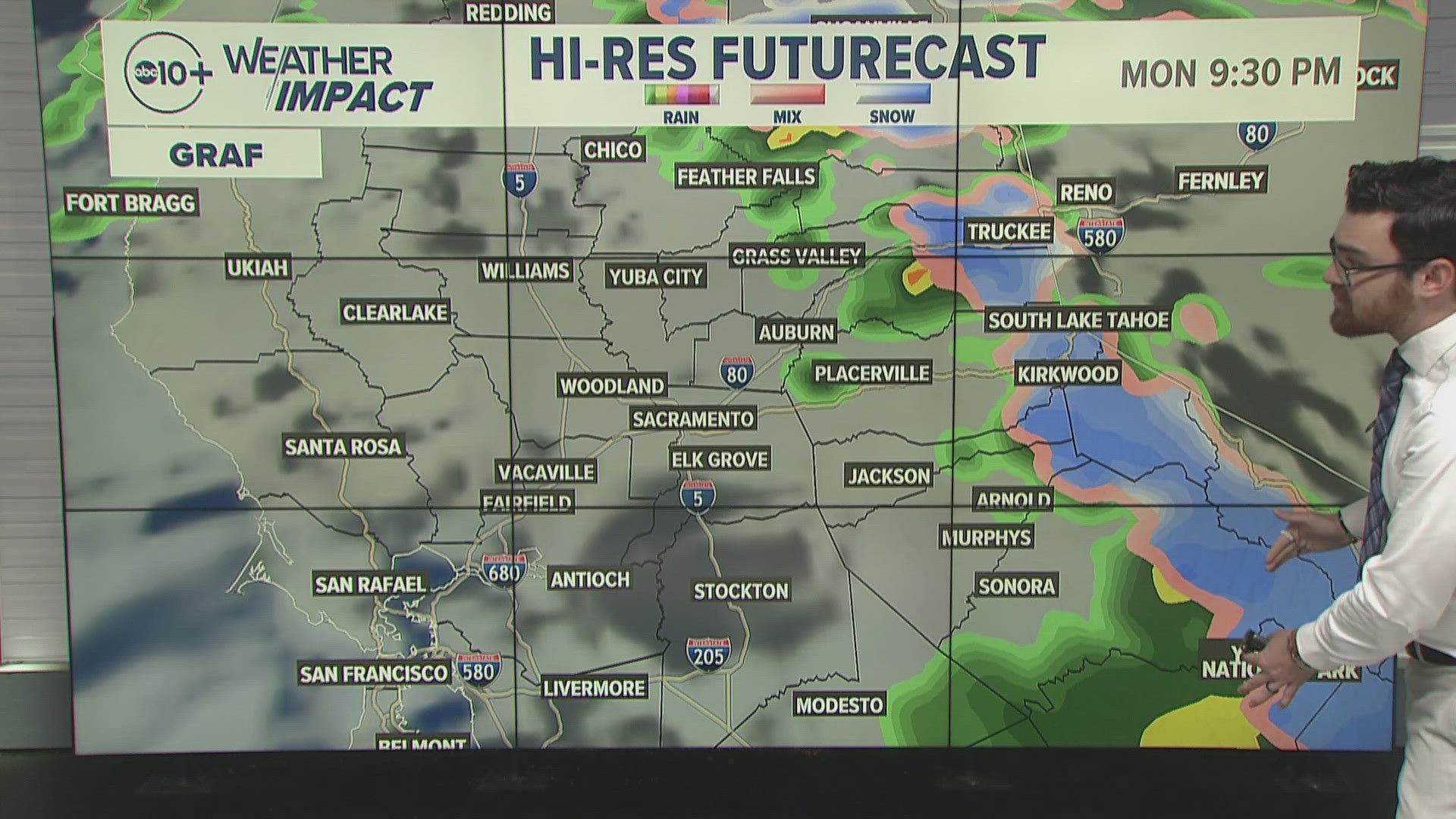
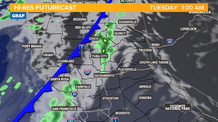
As the cold front associated with the first storm of the season pushes south, rainfall will diminish and the Sacramento area isn’t expected to see any rain, only a drop in temperature and increased cloud cover.
Rainfall will be confided to areas north and west of Sacramento, with the heaviest precipitation falling in far northwestern California where wildfires have been burning lately.

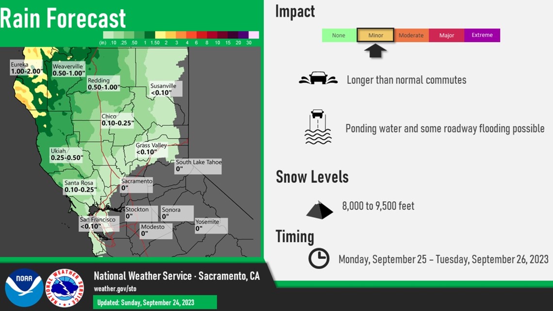
Gusty winds from the south are also expected on Sunday and Monday as the front passes through, with the windiest conditions arriving Monday afternoon. Wind gusts of 20-35 mph are expected across the region, with the strongest winds occurring in the Northern Sacramento Valley, the coastal range, and the Sierra.
Sunday and Monday will be partly cloudy across Northern California. Rain chances are approximately 20-40% in the overnight hours on Monday south of Interstate 80.


Sunday will see highs in the upper 70s to around 80 on Sunday, and Monday will be a few degrees cooler due to the frontal passage.
By Tuesday, temperatures will still only be in the upper 70s and lower 80s across the valley but Wednesday will see a brief warmup with highs in the low to mid 80s expected. Temperatures will hover in the lower 80s through Friday with lows in the 50s.
Downtown Sacramento is closing in on a month since it last saw triple-digit heat (August 28), a streak that could very well continue until next year due to mild temperatures in the extended forecast.
Instead of excessive heat, Northern California has been treated to below-average temperatures since September 16. The average high on September 24 in Sacramento is 87 and the city will likely stay below that through the work week.
WATCH ALSO: