SACRAMENTO, Calif. — UPDATE: 5 p.m. Monday
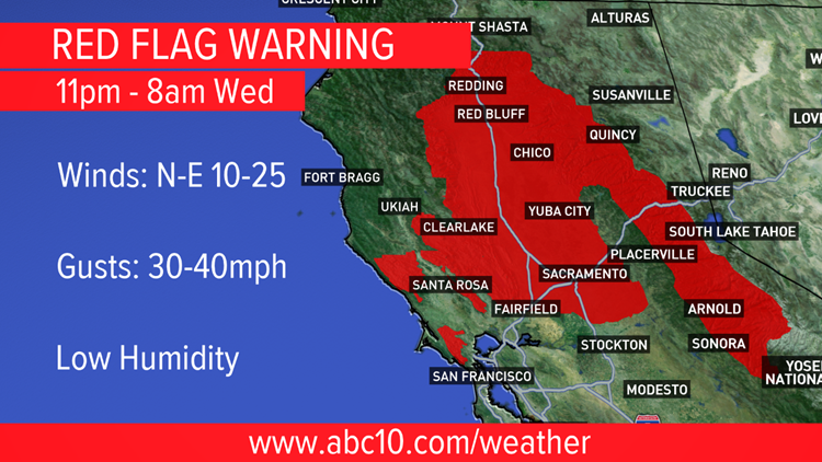
Critical fire weather is likely starting Monday night through Wednesday morning. The Fire Weather Watch has been upgraded to a Red Flag Warning during that time period. This is due to gusty winds, low humidity and recent heat. Any fire that starts will spread quickly with our dry vegetation and fuel this time of year.
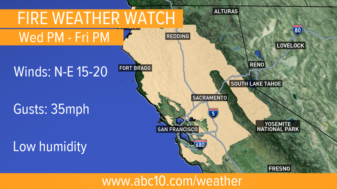
On the heels of this fire danger we enter into a fire weather pattern that could affect even more of the area. A Fire Weather Watch has now been issued for Wednesday evening through Friday evening.


PG&E Public Safety Power Shutoffs will be possible this week.
Original: 11 a.m. Monday
Warm temperatures kick off the week with highs close to 90 for Northern California Valleys, even getting close to daily temperature records.
Monday will only be slightly breezy, but beginning in the evening, the wind will pickup, with gusts expected in the 20-30 mph range. The coastal range and some areas in the Sierra will be windy, as well. The air will also be dry Monday night through Wednesday morning with relative humidity in the teens at times.
The combination of warm, windy and dry weather has prompted the National Weather Service to issue a Fire Weather Watch for parts of Northern California. That is expected to become a Red Flag Warning Monday evening to alert the area of the dangerous fire conditions from Monday night through Wednesday morning.
More wind is expected Wednesday night through Thursday and more warnings may be needed during that time. Vegetation is at its driest point for the season because there hasn't been significant rain since the spring.
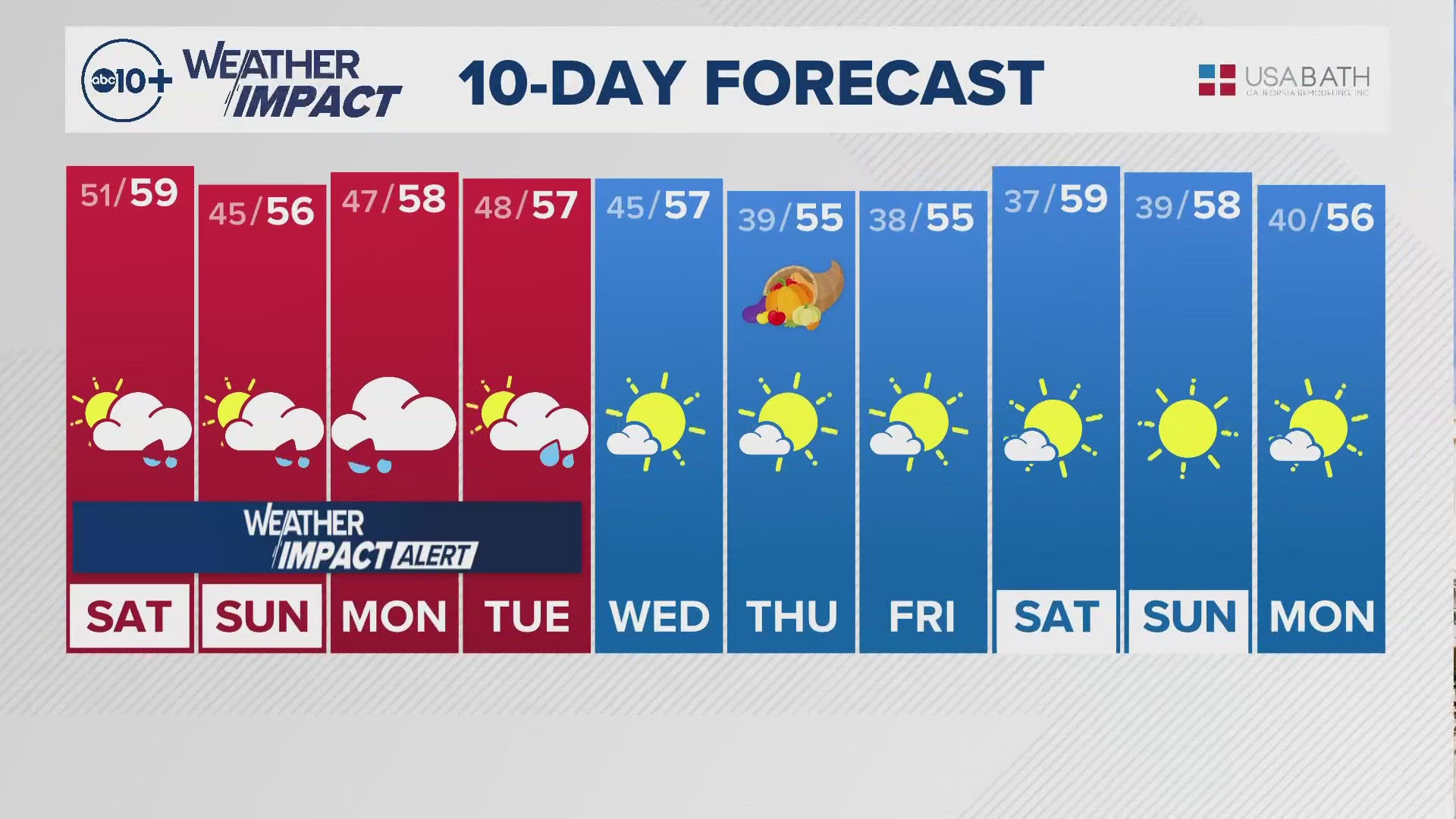
After the wind, the area should finally cool down with temps in the 70s for the Valley and cooler temps for the Sierra with a chance for light rain and snow on Saturday.
RELATED:
►Stay in the know! Sign up now for the Daily Blend Newsletter
Watch more:


