
SACRAMENTO, Calif. — Now that California is in transition between its wet season and dry summer season, the anticipated snowmelt is on the minds of many across the state.
Although it has been an incredibly wet winter statewide, the southern and central Sierra have been disproportionately slammed with snow. The southern Sierra is at 304% of its April 1 average, which is the typical date when snowpack is deepest. Meanwhile, the northern Sierra is at 198% - still an incredibly wet winter but not historic as is the case further south.
"We really have a really strong footprint of the heaviest precipitation being seen between San Francisco Bay and the south coast, given that that's also where we have the heaviest snow as well as the highest mountains in the Sierra Nevada," said Michael Anderson, Department of Water Resources State Climatologist.
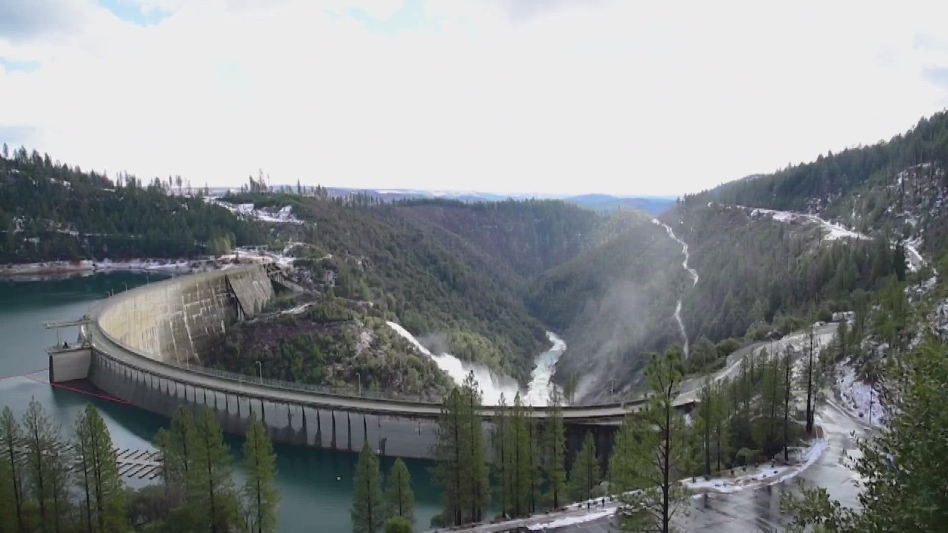
Flooding has been an issue statewide since January. Up north in the Sacramento Valley, water flows in the basin peaked during the seemingly nonstop series of atmospheric rivers in January and March. While flows are expected to be high through the spring and early summer, the peaks in waterflow as forecast by the Department of Water Resources aren't expected to be greater than during the high waters of January and March.
This is not the case to the south in the San Joaquin Valley and Tulare Lake Basin. Although the rivers, creeks and streams in these watersheds still peaked during the extremely wet periods of January and March, the incredibly large snowpack and its upcoming snowmelt will easily surpass the previous peaks.
"As you move further south, you'll see more of those numbers are in May, and then even some of the watersheds are in June," said David Rizzardo of DWR, referencing peak runoff times across various regions of the state. "It's going to be sustained high flows in May and June."
The cool conditions so far this year in California, paired with the large snowpack, will delay peak snowmelt and the attendant peak runoff. In the northern portion of the state, the mountains aren't quite as high as in the south and peak runoff will occur earlier in the year. Sustained high flows are expected into late May and June, compared to a typical year when runoff peaks in April or May.
WATCH ALSO:


