SACRAMENTO, California —
A series of cold fronts on Sunday and Monday will produce rain and snow across Northern California to start the work week.
The fronts moving through the region will pull in moisture from a weak early-season atmospheric river that has been producing beneficial rain and snow across the Pacific Northwest.
The initial front traversed Northern California on Sunday morning, producing light rain, even into the Sierra where temperatures are still too warm to produce snow.
That will change Sunday night as another front pushes through. Snow levels will drop as colder air filters behind this secondary front and the Sierra can expect anywhere from about an inch of fresh snow at 5000-6000 feet to upwards of 6 inches at higher elevations.

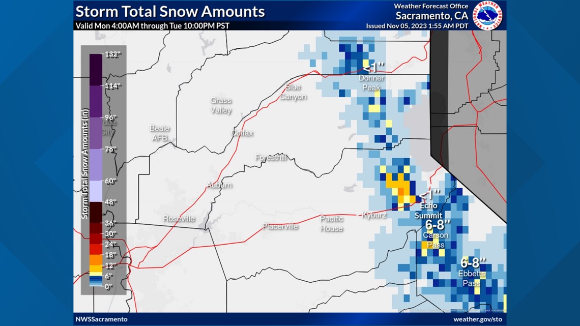
A Winter Weather Advisory is in effect for the western slope of the Sierra from 4 a.m. Monday through Tuesday night.
The main band of precipitation will push through on Sunday night with shower chances for most of Monday.
Rain totals will not be too impressive from this storm with generally less than half an inch expected. The possibility of thunderstorms on Monday means that locations that are in the path of any thunderstorms that do develop will be subject to downpours and heavier rainfall totals.
Precipitation amounts in the valley will increase to the east due to western valley location being rainshadowed by the coastal range.
Temperatures on Sunday are near to slightly above the historical average for early November, which is 70 degrees on Nov. 5 in Sacramento.
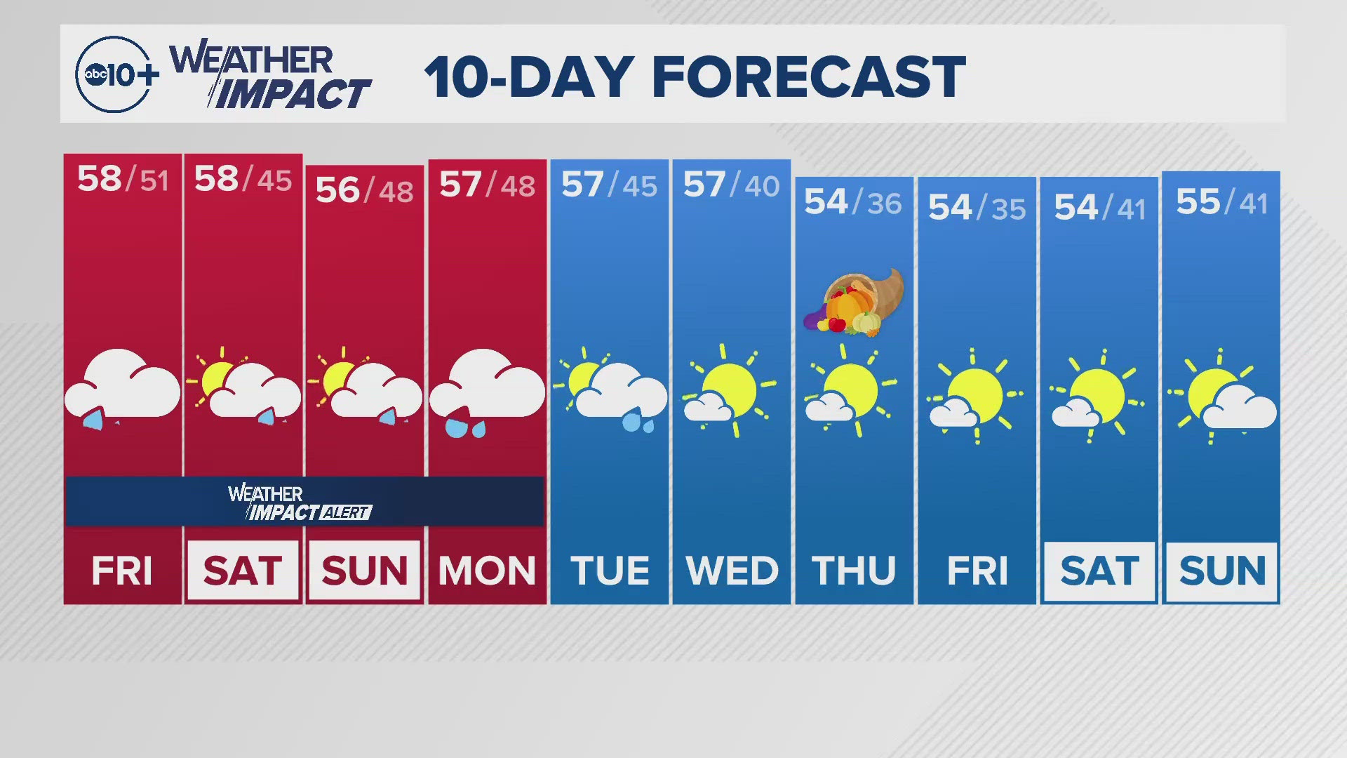
A cooling trend will follow mild temperatures on Sunday, and highs in the 60s are expected across the valley throughout the week.
Valley residents can expect high temperatures in the upper 60s on Monday with periods of rain and cloud cover.
Tuesday will see a further drop in temperatures with a high of 65 forecast for Sacramento and Wednesday will see a slight increase in high temperatures towards the upper 60s. Low to mid-60s are expected on Thursday and Friday.
Highs will be in the 40s and 50s this week in the Sierra.
Once the clouds and rain filter out as the low pressure moves east, colder mornings are expected along with the possibility of fog development.
Rain chances return towards the end of the extended forecast and the Climate Prediction Center favors wetter conditions through the next two weeks.
WATCH ALSO:


