
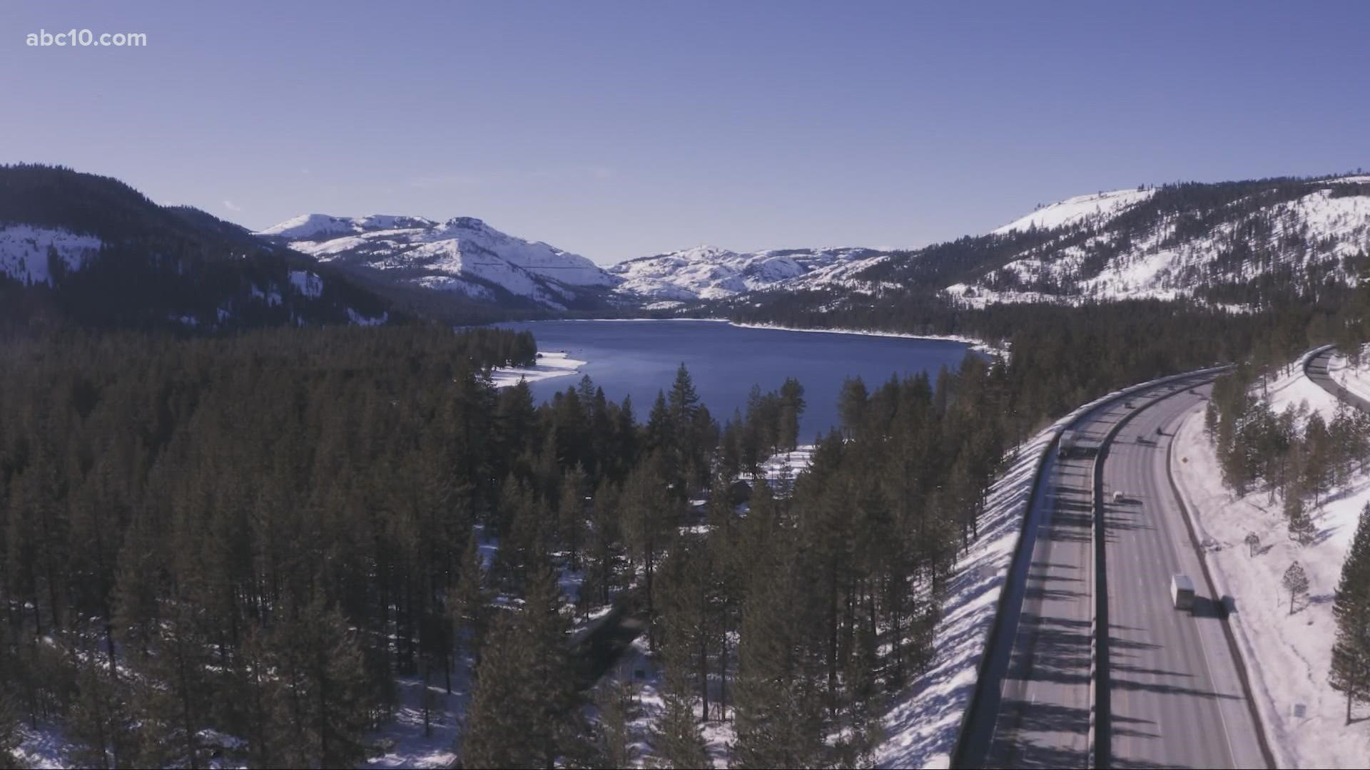
CALIFORNIA, USA — January is considered to be one of the wettest winter months in California, and this year it's setting new records. The state is seeing the 4th lowest snowfall on since 1971, according to the Central Sierra Snow lab. It's also ranking 5th driest in terms of total precipitation, whether rain or snow.
"We wound up with about eight and a half inches of snow during the month of January," said Andrew Schwartz, lead scientist with CSSL.
Scwartz says their snow lab has recorded 112% of snow water equivalent at their Soda Springs monitoring station.
The Department of Water Resources conducted their second snow survey of the water year Feb. 1, recording the 109% of average at Phillips Station.
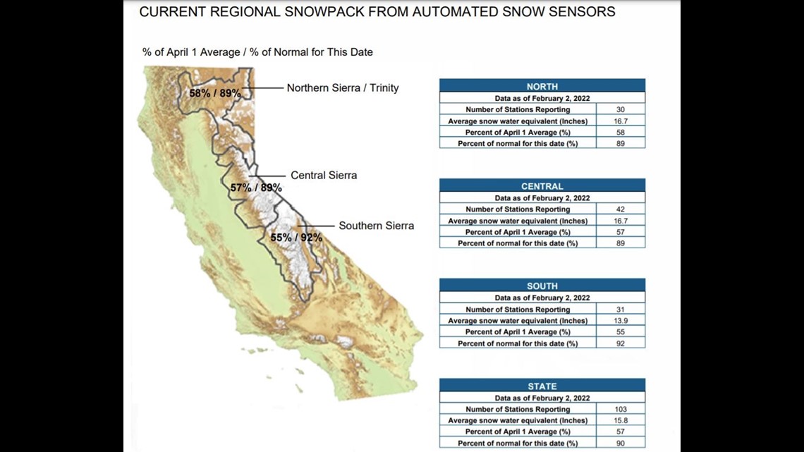
Even though the Central Sierra is fairing well, the state as a whole, sits at around 90% of average snow for this time of year.

December brought snow averages in the central Sierra to about 200% of normal. With a nearly completely dry January, those percentages are cut in half.
"The reason the percentage of our snowpack is decreased isn't because we've actually lost that much. It's more so due to the fact that we haven't gained any additional snowfall during January," says Schwartz.
The valley has seen above average temperatures in January, but so far Schwartz says the Sierra has been saved by cooler temperatures.
"The vast majority of the water that fell in December is actually still in the snowpack. And it shows that we've lost very little of it at all," Schwartz states.
The question on so many people's minds is, 'Will we see enough rain in February and March, to keep pace with the water year?'
"If we don't see any further precipitation, and we do see an increase in temperatures, that's when we really have to grow concern, because that's when we will start to lose large percentages of our snowpack that could be important to our summer or even autumn runoff," says Schwartz.
Warming temperatures and the lack of precipitation, aren't the only concerns. Strong winds and dry weather are creeping into play.
“In recent days, we have had a lot more evaporation here on the summit, we've seen a lot of higher wind speeds, and that's always conducive to wicking a lot more of that moisture off the top of the snowpack," mentions Schwartz.
Low humidity causes the air to become "thirsty" so to speak, allowing it to hold onto a lot more water through evaporation. As the air clings to any moisture that presents itself, it continues to grow. This is often how we see massive swings in our climate. Higher than average precipitation can often come off dry streaks.
"Like we saw in December, and even back in October. So because of that we see we do see these big periods of absolute downpours of snow or rain, followed by these longer periods of dry weather" says Schwartz.


