SACRAMENTO, California —
Following a few pleasantly mild August days, the heat is set to return just in time for the weekend.
Wednesday saw a high of 87 in downtown Sacramento, which is the coolest temperature since July 9.
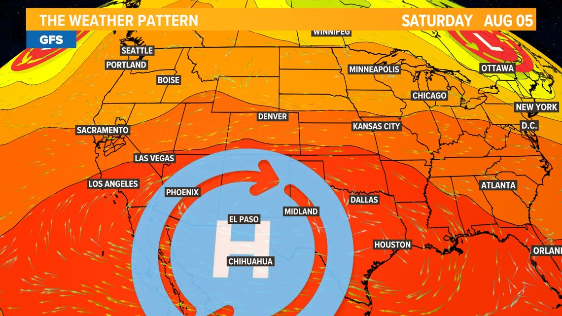
The low pressure that helped cool things down is moving off to the east and the strong high pressure that has been bouncing between Texas and California since June will move back towards the west. As a result, another weekend of 100 degree temperatures is on tap for the Central Valley.
Friday will mark the beginning of the warming trend, signaled by rising geopotential heights over the region. A geopotential height observation represents the height of the pressure surface on which the observation was taken, according to weather.gov. Rising geopotential heights at the 500 millibar pressure level (the midpoint of the troposphere) is a sign that warm air is moving in from the southwest, because the warmth causes the air to expand, pushing the 500 millibar level higher up from the surface.
While the center of the ridge will remain south, Northern California will be under its influence until a low pressure system pushes the ridge back to the east on Tuesday.


Temperatures on Friday across the valley will be in the mid 90s on Friday and the upper 60s to 70s across the Sierra.
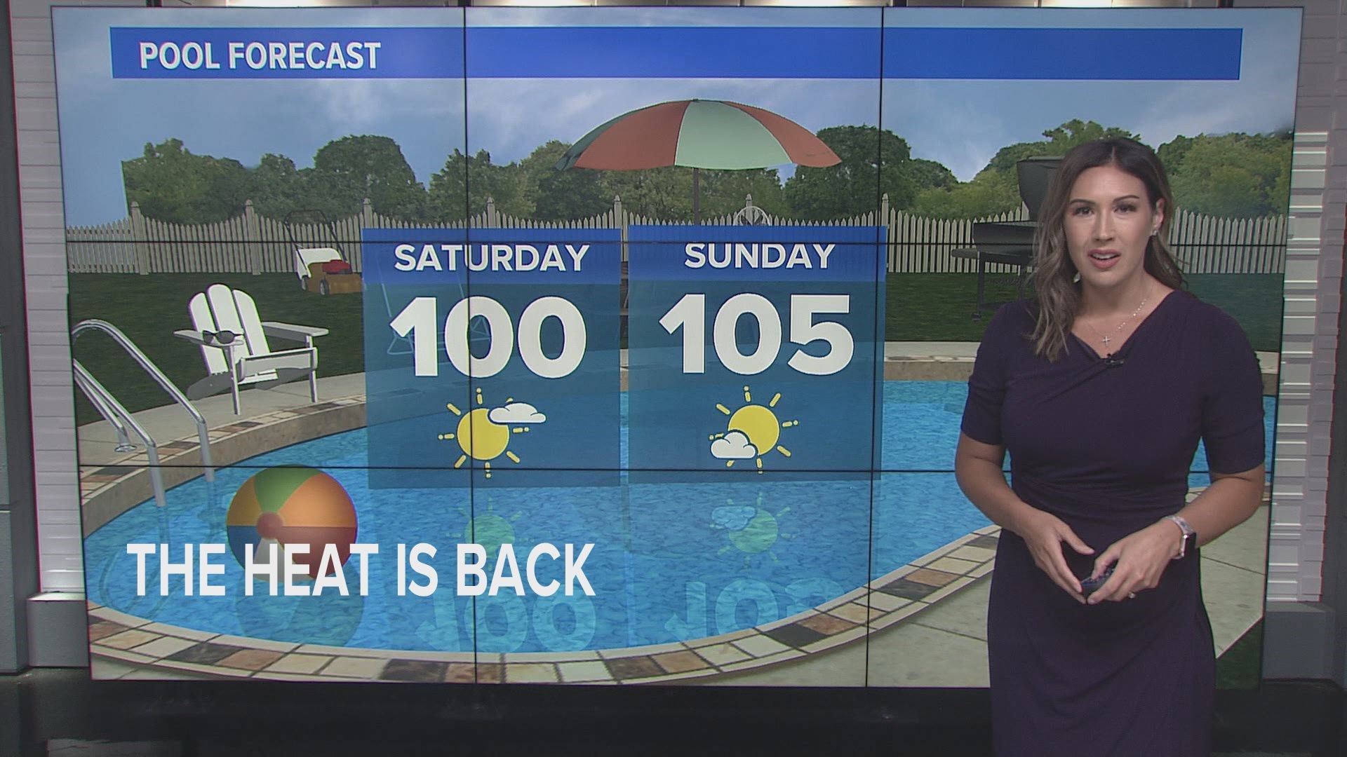
Saturday will see temperatures about five degrees warmer than Friday but aren't expected to peak until Sunday.
Highs on Sunday will be about 10 degrees above average for early August. Sacramento is expected to peak at 105, while Stockton and Modesto will likely be a degree or two cooler. Expect temperatures in the 70s and lower 80s in the Sierra throughout the weekend with thunderstorm chances minimal.
As referenced earlier, Monday will remain hot before another wave of low pressure moves in on Tuesday.
WATCH ALSO:


