SACRAMENTO, Calif. — Northern California will see a shift from extreme heat to higher fire danger with a changing weather pattern developing.
The Sacramento and San Joaquin Valleys have seen a stretch of 100s since Sunday. Cooler weather is coming but at the expense of higher fire danger.
A chance of thunderstorms returns to the forecast Thursday and Friday. The best chance of storms will be in the upper Sierra Foothills through the mountains. There is a slight chance of thunderstorms in the forecast for the Valley and lower Foothills.
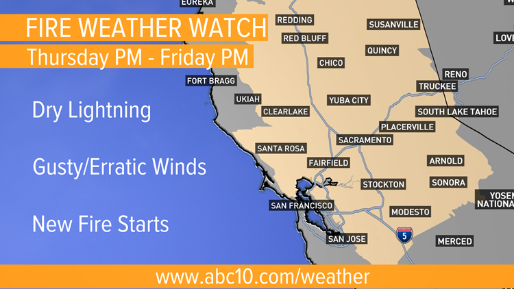
A Fire Weather Watch goes into effect Thursday afternoon through Friday afternoon due to the risk of lightning and gusty, erratic winds. New fires could start from lightning strikes. Gusty, erratic winds could also spread existing and new fire starts.
Scattered thunderstorms are possible in the valley and foothills from 5 p.m. Thursday through 11 a.m. Friday. Most of these storms will have little to no accumulating rain.
The chance for Sierra thunderstorms starts around 8 p.m. Thursday and will last a little longer Friday until about 2 p.m. Gusty winds around thunderstorms could make stopping a fire difficult. The strongest winds will be near the crest where gusts up to 35 mph are possible.
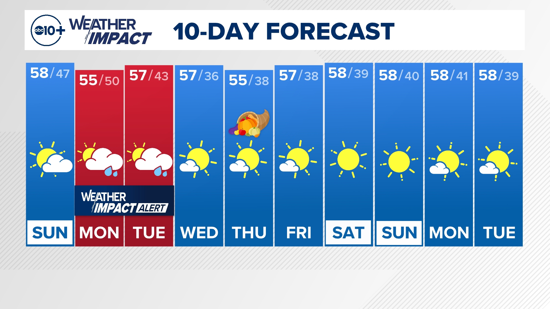
Lighter winds and near normal highs return to the forecast over the weekend. The stable weather pattern will allow some smoke to return.
WATCH ALSO:


