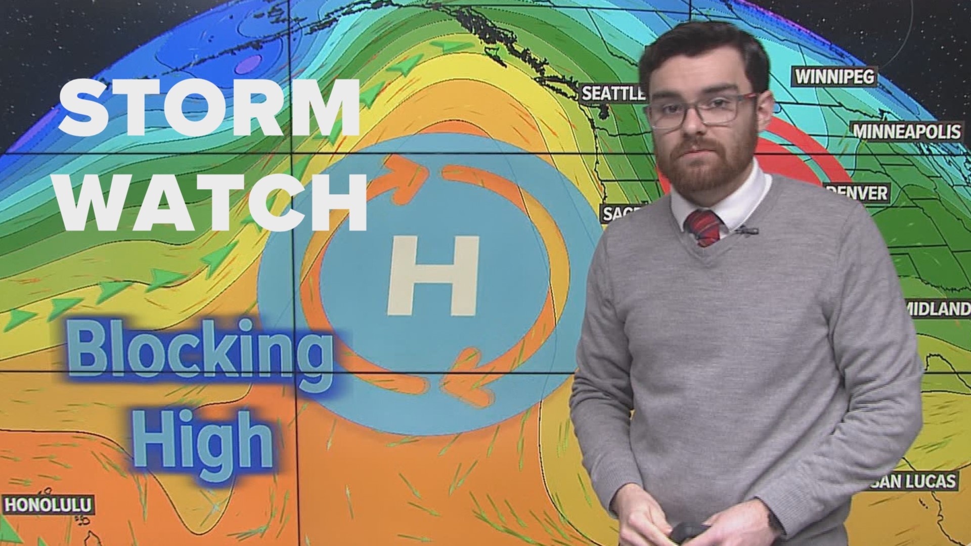
SACRAMENTO, Calif — While next week Northern California may see the sun again, this weekend is still rainy and dangerous. Saturday is expected to be another wet day starting early morning and the rain is forecasted to push into Sunday and Monday.
A Winter Storm Warning went into effect Friday afternoon with treacherous mountain travel expected through the holiday weekend. Officials are warning drivers against traveling into the mountains due to poor weather and road conditions.
Scattered showers and isolated thunderstorms continue to spread across Northern California. The stronger cells may produce funnel clouds, lightning, brief heavy rain, gusty winds, & small accumulating hail, according to the National Weather Service.
The morning thunderstorms throughout Northern California reached wind gusts of 50 mph. Downtown Sacramento has recorded over 0.6 inches of rain so far today.
Travel through the Sierra this weekend is not advised. Even if you get to the resorts, wind gusts of 55-75 mph will lead to lift closures.
Continue reading for traffic maps, official warnings and updates.
Watches, Warnings, and Advisories in effect:
- A Winter Storm Warning from Friday at 1 p.m. through Monday at 10 p.m.
- A Flood Watch from Saturday at 10 a.m. through Sunday at 7 a.m.
- A Wind Advisory from Saturday at 7 a.m. through 6 p.m.
LATEST UPDATES
As of 2:22 p.m. Saturday: Some chain controls are needed on the main highways leading to Lake Tahoe and the Sierra:
Interstate 80: Between Baxter and Truckee
Highway 50: Between Fred's Place and Meyers
Highway 88: Between Cook's Station and Red Lake Creek
Highway 4: Between Mill Creek and Mount Reba Road
Check other highways HERE.
10:08 p.m.: Highway 49 is closed at Lincoln Way in Auburn to the American River confluence due to a rockslide, according to Caltrans.
9:27 p.m.: President Biden approved the California disaster declaration, Saturday. The approval means federal funding is now available to individuals impacted by the storm in Merced, Sacramento and Santa Cruz counties.
6:18 p.m.: A Flood Warning was issued for portions of El Dorado County due to heavy rain causing flooding, according to NWS Sacramento.
5:47 p.m.: I-80 remains closed westbound at the Nevada Stateline and eastbound at Colfax with no estimated time of reopening, according to CHP Truckee.
4:54 p.m.: Sacramento County officials increased Wilton's Evacuation Warning to an Evacuation Order due to an "anticipated rise in the Cosumnes River levels." An evacuation shelter is located at the Chabolla Center, 600 Chabolla Avenue, Galt, Ca 95632. Call 2-1-1 for additional information.
4:54 p.m.: Traffic is now released on Highway 50 between Echo Summit and Meyers after multiple spinouts and low visibility, according to Caltrans.
3:30 p.m.: Stanislaus County officials issued an Evacuation Order for the Rural Patterson area East of Elm Avenue between Del Puerto Creek & Fig Avenue along the San Joaquin River.
2:25 p.m.: Department of Public Works has shut down Taylor Road between Old State Hwy and Hwy 193 due to a boulder. The bolder was cleared two hours later.
2:15 p.m.: Southbound Interstate 505 is closed from the I-5 junction to County Road 19 in Yolo County due to flooding, Caltrans says.
1:25 p.m.: The Sacramento County Office of Emergency Services is publishing an Evacuation Warning for the Wilton, Rancho Murieta, Herald, Dillard Road and immediate surrounding areas.
12:40 p.m.: Placer County Sheriff's Office shuts down Mosquito Ridge Road due to erosion.
11:15 a.m.: I-80 westbound at the Nevada Stateline and eastbound at Colfax is closed due to spin-outs, high winds and whiteout driving conditions, California Highway Patrol says.
10:36 a.m.: 71 outages are impacting nearly 18,000 SMUD customers. Outages have since mostly been restored.
9:45 a.m.: National Weather Service Sacramento issued a special weather statement for Sacramento, Roseville and Citrus Heights.
9:30 a.m.: Heavy winds knocked down trees and branches onto lanes of Highway 50 in Sacramento.
9:23 a.m.: Caltrans says, multiple spinouts due to icy road conditions caused closures on parts of Highway 20 in Nevada County.
9:00 a.m.: The National Weather Service says very heavy rain could bring local flooding, along with gusty winds up to 50 mph & half-inch hail in the Sacramento Valley.
Power Outages
PG&E outages can be found HERE.
SMUD outages can be found HERE.
Lodi Electric Utility outages can be found HERE.
Click HERE for more ABC10 weather maps.
TRAFFIC
Live map showing traffic conditions along Interstate 80, Highway 50, and Highway 89 around Lake Tahoe and the Sierra Mountains.
Snow Park locations are identified with purple markers.
Radar
Radar map from ABC10.com. Track the storm and where it's moving below. Adjust the layers with a filter on the bottom right corner to show rain, snow, wind and current temperatures:
GO DEEPER: When you think of California's climate, drought probably comes to mind first, but California has a long history of floods. Some floods were so punishing and relentless they crippled the state. New research indicates these "megafloods" are twice as likely in the future with a changing climate. It's a future we can't avoid, but we can learn from the past and prepare. ABC10's team of meteorologists investigated the topic, answering questions like: What exactly is a megaflood? Can our infrastructure withstand it?
STORM RESOURCES:
► RESOURCES | Helpful information and emergency resources to get you through this storm
► FORECAST DETAILS | Check out our hourly forecast and radar pages.
► GET WEATHER ALERTS TO YOUR PHONE | Download the ABC10 mobile app
► WEATHER IN YOUR EMAIL | Sign up for the ABC10 Today newsletter


