SACRAMENTO, Calif. — Update: Tuesday 6:30 p.m.
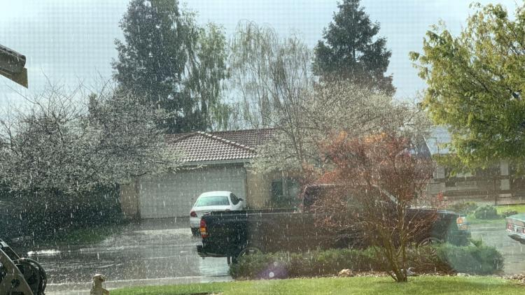
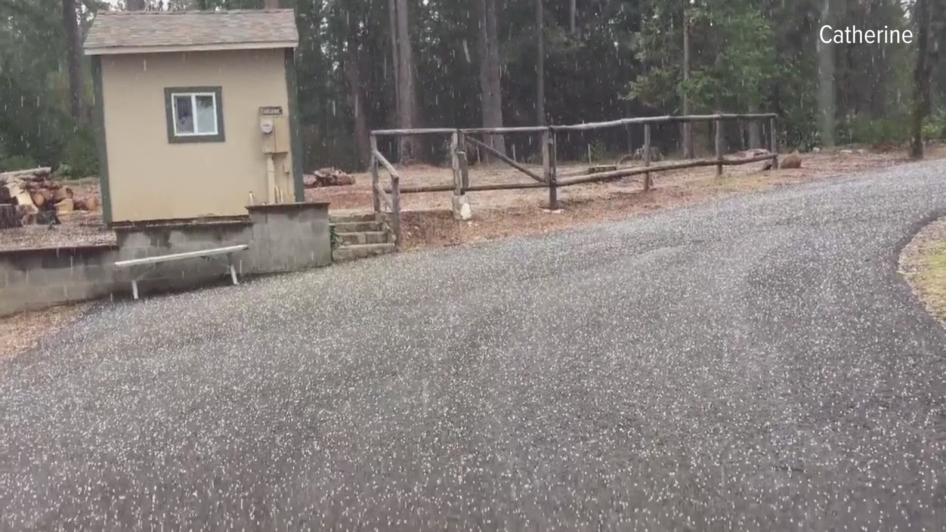
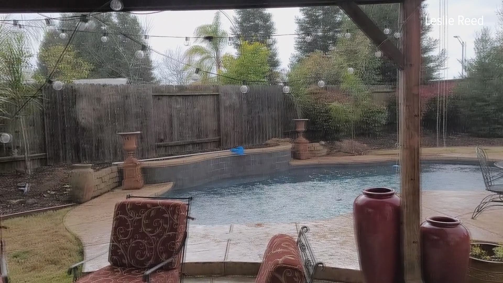
Isolated thunderstorms brought periods of heavy rain and areas of hail throughout the Sacramento and Northern San Joaquin Valleys Tuesday afternoon.
This is what it looked like in Volcanoville, CA just south of Foresthill as hail pounded the area.
And heavy rain hit much of the upper valley like here in Rocklin, CA.
This forecast will continue through Wednesday.
Original: Tuesday 11 a.m.
An active weather pattern will move into Northern California Tuesday, with cold temperatures and active rain and snow lasting through Wednesday.
This colder system will have fairly low snow levels to start (around the 4,000 foot elevation areas) in the afternoon Tuesday and dropping to 2,500 foot levels or lower by early Wednesday morning.
Northern California could see up to two feet of snow over the mountain passes and up to four inches of snow near 3,000 foot elevation areas. Chain controls are likely and momentary road closures for weather and safety may pop up at any time, especially during the overnight hours.
Below the 3,000 feet elevation mark, most of the precipitation will fall as rain, but spotty in nature. This cold system is very convective in nature, and rain tends to fall in cells and thunderstorms rather than one big front that sweeps through an entire area. Pop up showers will start in the late morning and increase in the afternoon.
Some thunderstorms will grow as well in the late afternoon, with heavy rain, lightning, gusty winds, small hail and an isolated weak tornado possible, as well.
The odds of a tornado are very low, but not zero and awareness is important for Tuesday and Wednesday.
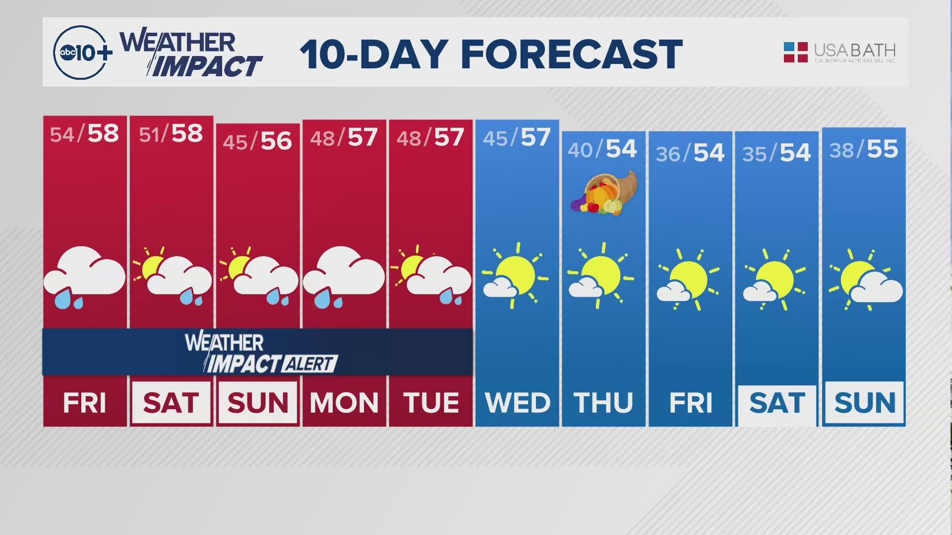
More of the same conditions remain for Wednesday with rain, wind, snow and afternoon thunderstorms, as well. Many Valley spots could see up to an inch of rain over the two days, but some areas could get more if they get a thunderstorm. The active pattern moves on by Thursday and calmer conditions arrive for the rest of the week.
The National Weather Service issued a high-wind advisory effective until 7 p.m. Gusts in excess of 55 mph (88 kph) are possible in Reno and Carson City and parts of Mineral and Lyon counties. Gusts nearing 75 mph (125 kph) are possible in the southern Sierra from Bridgeport to Mammoth Lakes, California. A winter storm watch is in effect at Lake Tahoe from Tuesday afternoon into Wednesday.
Watch more from ABC10:


