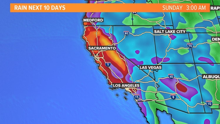
SACRAMENTO, Calif. — Northern California is set to recover from a mostly warm and dry January with a series of storms to round out the month.
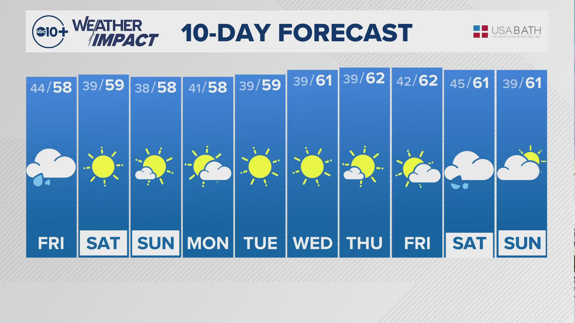
Beginning Friday, a storm will move into Northern California with rain and snow. Valley rain should start in the morning with steady light rain by the afternoon. Light amounts between 0.10-0.25” are expected Friday for areas below 4,000 ft. For the Sierra 4-6” of snow is expected over the passes with more for the resorts.
Wind will also pick up for higher elevations with gusts up to 40mph at times. For the valley, light rain is most of what the storm will bring but some chances for afternoon thunderstorms will occur as well.
RELATED: Sacramento Local Forecast
Saturday will be mostly dry with highs moving into the low 50s. Sunday will see many changes with rain and snow moving in later in the afternoon to evening. Any Sierra travel should be attempted in the morning with fewer impacts.
Rain and snow will fall overnight into Monday with higher amounts than the Friday storm.
Monday and Tuesday will see cold air drain into the area with lingering moisture. The snow level will drop quite a bit by early Tuesday to 1,000 ft and in some areas lower to about 500 ft. This is a general guide and local snow levels will vary but lower elevation snow is a possibility with this scenario.
Some areas of the East side of the Sacramento Valley into the lower foothills should be prepared for light snow early next week. Lower elevations near the coastal range could see light snow as well.
The area along the highway 49 corridor especially will be prone to better chances for lower elevation snow early in the week. The storm window appears open as another storm arrives midweek with another by the end of the week.
Check the forecast updates often as details will change but there are signs that a colder wet winter pattern should take hold for the rest of January.


