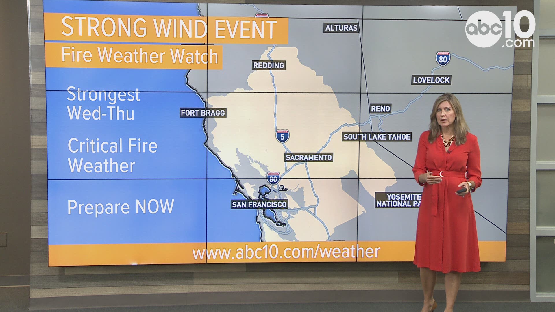
Dry, warm north winds increase Wednesday afternoon into Thursday increasing the risk of rapidly spreading fire.
What weather changes create these dangerous conditions?
An upper level low-pressure system originating in western Canada will drop down into the Rockies and High Plains. This low will come into contact with a high-pressure system that's already in place across the west.
As these two systems come near each other our surface pressure gradient increases, which means stronger winds at the surface.
The strongest winds for the Sacramento and San Joaquin Valleys, Sierra Foothills and the San Francisco Bay area will be Wednesday afternoon and Thursday.
More power shutoffs?
The weather will give us strong winds with dry conditions and warm temperatures that are forecasted to top off in the mid to upper 80s.
These temperatures are well above average for this time of the year, and, essentially, this a recipe for high fire danger.
PG&E is now saying over 200,000 people in 16 counties could lose power.
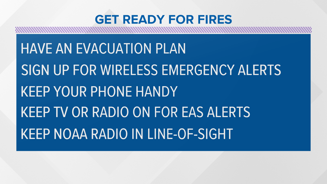
If you live in an area that's prone to wildfires you should:
- Have an evacuation plan
- Sign up for wireless emergency alerts
- Keep your phone handy
- Keep TV or radio on for EAS alerts
- Keep NOAA radio in line-of-sight


FREE ABC10 APP:
►Stay In the Know! Sign up now for ABC10's Daily Blend Newsletter
PG&E gives an update on potential Public Safety Power Shutoffs this week.


