
As the summer season winds down, the threat and concern of wildfires decreases. However, the National Weather Service (NWS) along with several state agencies warn that the threat is not over.
ABC10 Meteorologist Tracy Humphrey spoke to Michelle Mead with the NWS, to ask about some of the threats that persist after fire season ends.
So, what's the biggest threat during the rainy season for areas impacted by wildfires?
Houses or neighborhoods downhill or downstream of a burn scar area may experience flash flooding and debris flows.
Because there's no vegetation or roots to help absorb the rain, rainwater can quickly run downhill, increasing in speed and creating erosion by picking up large amounts of ash, sand, silt, rocks and burned vegetation.
What's moonscape?
When there is a very intense fire, the ground is completely charred. That means even the roots are charred. The landscape ends up looking like the surface of the moon and can be left hard and difficult for rainwater to penetrate.
What type of rain is the biggest threat for creating flash floods?
Thunderstorms. They are fast-moving and can [generate] heavy rainfall. As this heavy rain moves over heavily charred areas, the water flows downhill increasing in speed. This makes it difficult for the ground to absorb the rain.
Why does the first rainy season present the highest risk?
The ground hasn't had a chance to recover and there's no regrowth. Generally, it takes 2 to 3 years for decent regrowth to take place. The rainy season begins October 1 thru May 1.
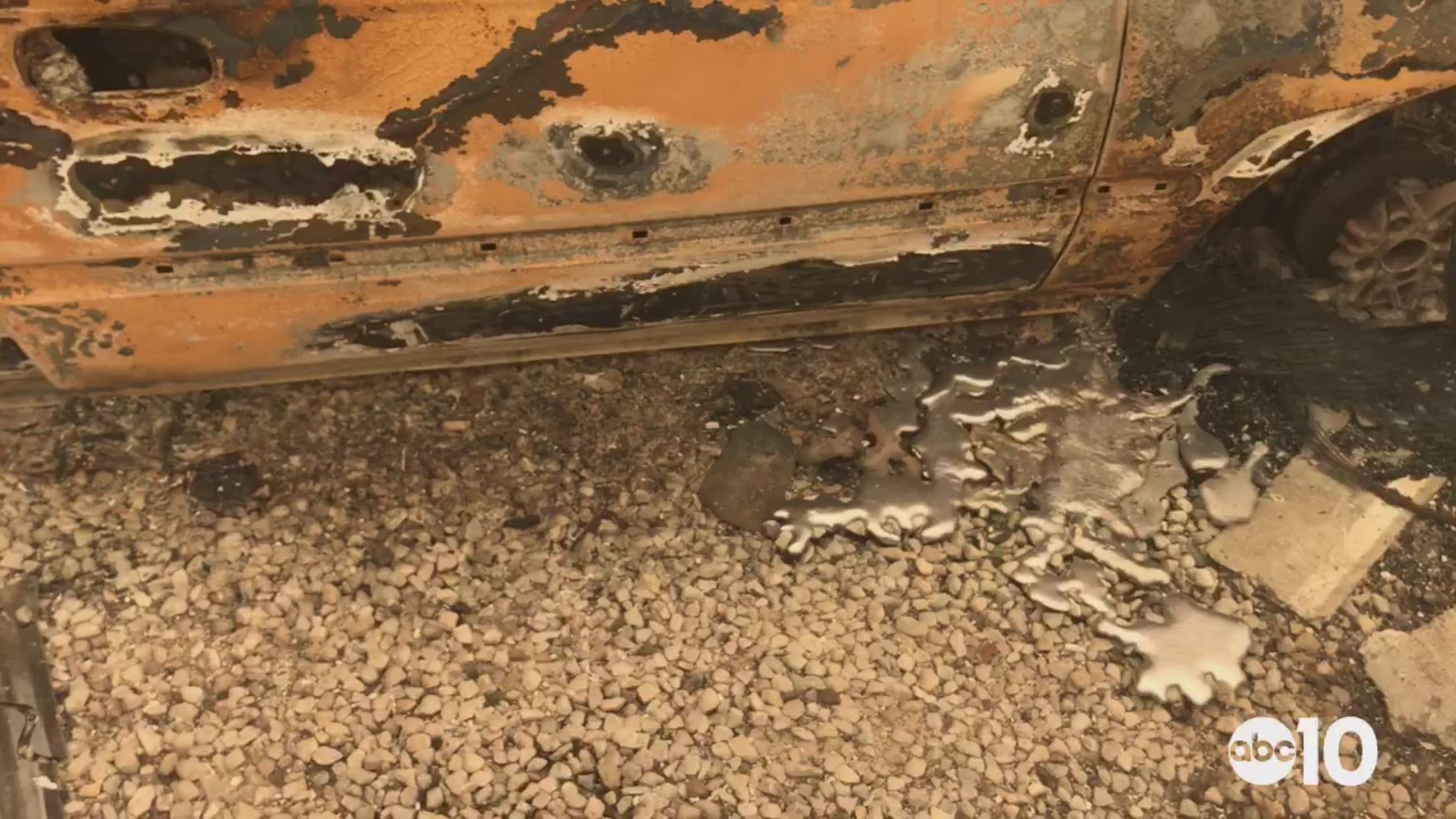
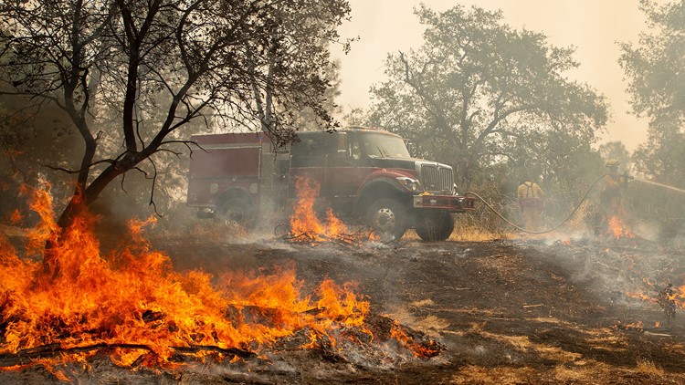
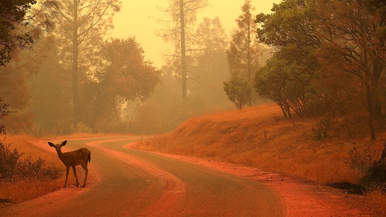
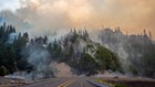
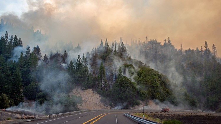
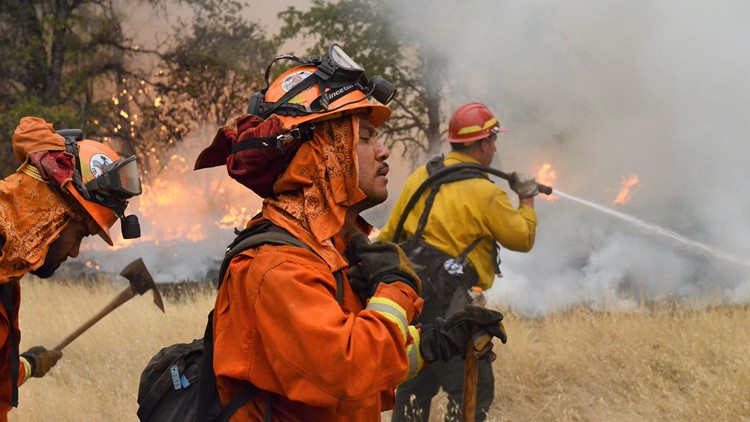
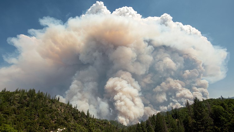
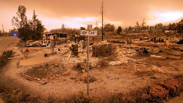
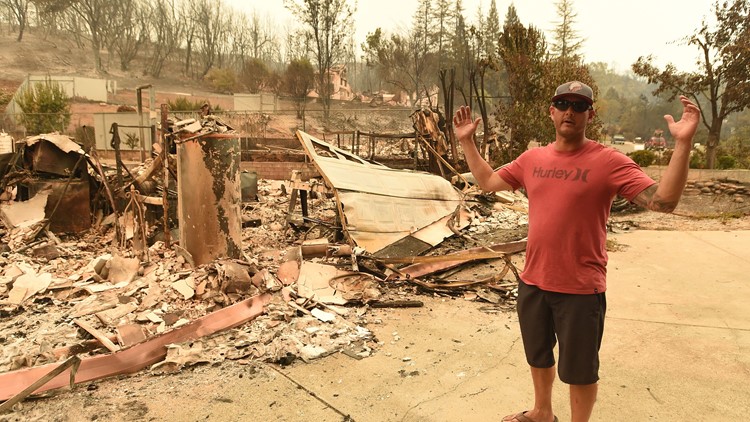
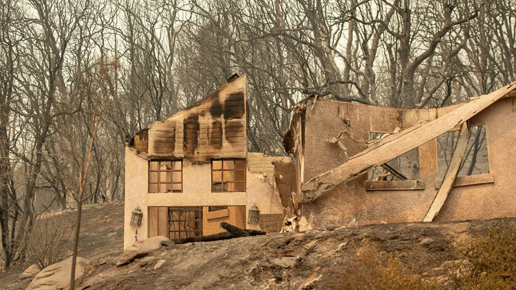
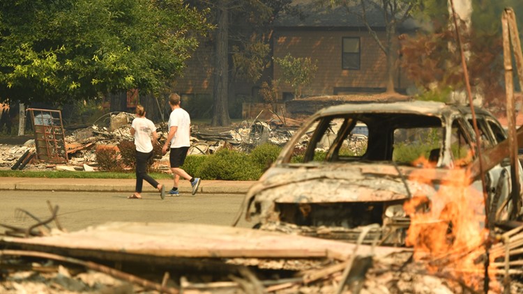
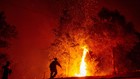
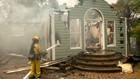
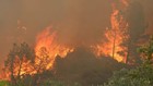
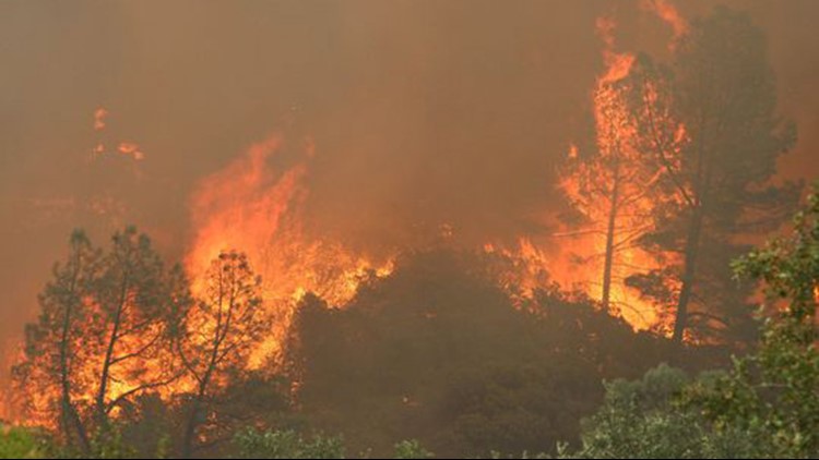
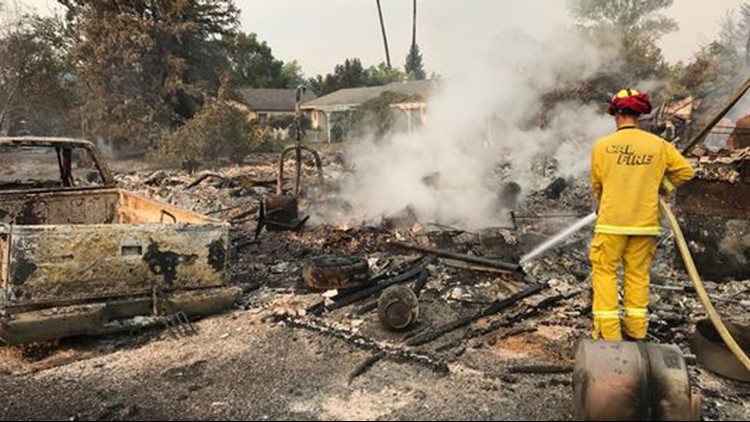
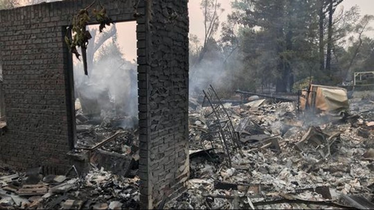
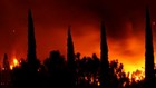
PHOTOS: Carr Fire devastates Redding, California


What is the Burn Area Reconnaissance Report?
It's a report put together by various local and state agencies to assess the conditions needed to issue evacuation orders for burn scar areas. It considers the location of the burn scar area to infrastructure, population and water supply. Most importantly, how would each be impacted.
The report also details the burn severity, meaning how hot the fire got. It also includes the slope and terrain affected by the wildfire as well as the soil decomposition leftover from the wildfire. All of these factors are used to determine how well the burn scar areas could absorb fast moving rainfall.
How many different agencies help compile the report?
Eight.
Why so many?
Well, it depends on where the fire occurred. If the fire took place on state lands: CAL FIRE, CAL OES, and DWR assess the damage. If the fire took place on federal lands, five different agencies are involved: Bureau of Land Management, Forest Service, NWS, USGS and the Army Corps of Engineers.
If the fire took place on both state and federal lands, then all eight agencies are involved. In the case of the Carr and Mendocino Fires, both fires took place on federal and state lands.
When will the report be released?
Currently, officials are still assessing the Carr Fire area and the Mendocino Complex fire is still burning. Keep in mind, the reports are only compiled for burn areas which pose the most risk for flash floods.
If you think your home could be in danger, what should you do?
Sign up for your county alerting system. Most alert systems use landlines. Many homes no longer have land lines, so you need to opt-in to your county alert system for updates.
Also, make sure you and your family have an evacuation kit and a plan for your pet. You can also sign up for NIXLE.
What is NIXLE?
NIXCLE keeps you up-to-date with relevant information from your local public safety departments & schools.
Continue the conversation with Tracy on Facebook.