SACRAMENTO, Calif —
Pleasant weather is expected across Northern California early this week but it won’t stick around forever as another round of wet weather heads towards the region later this week.
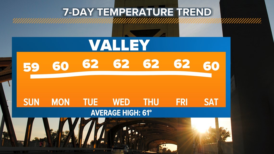
High temperatures will be near to slightly below average this week for this time of year. The average high temperature in Sacramento this time of year is 61 and temperatures should be around that throughout the week. Sierra high temperatures will be in the 30s and 40s throughout the week.
Northern Californians were treated to a mainly sunny weekend in what has been an unusually cloudy last 30 days. Partly cloudy skies are expected before cloudier conditions set in on Wednesday along with light winds.

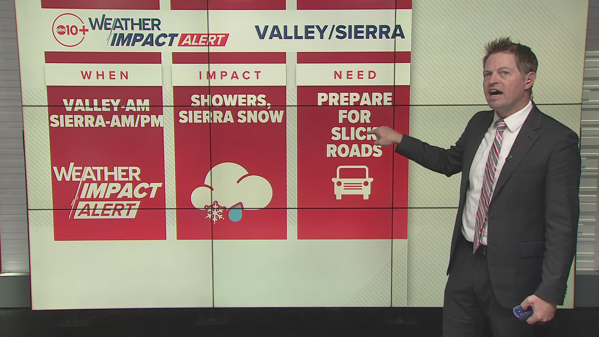
A weak system late on Wednesday and into Thursday will return rain chances to Northern California, mainly north of Interstate 80. This will be a low-impact event with less than 0.25" of rain for the valley and periods of light to moderate snow to the Sierra, mainly north of Highway 50.
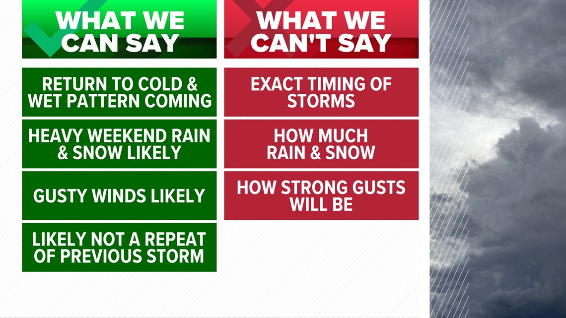
The main focus this week will be on the renewed chances of wet weather that is expected to bring widespread rain, heavy snow, and gusty winds to the region next weekend.
A large degree of uncertainty remains in timing and exactly how much rain and snow will fall but those will come into focus throughout the week.

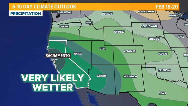
The Climate Prediction Center's 6-10 day precipitation outlook shows the bullseye for wetter than normal conditions over Northern California.


The Sierra snowpack made great gains from the recent atmospheric river events and the upcoming weather systems will continue to boost the state's snowpack and water storage.
WATCH ALSO:

