SACRAMENTO, Calif. —
Northern Californians remain at the mercy of the weather in what has been described as a wild and unpredictable winter.
Highway 50 is under chain controls after reopening Sunday morning following avalanche control measures — traffic officials are advising commuters to travel at a speed of 25/mph.
Snow will continue to fall in the Sierra throughout Sunday, but will become lighter as the day wears on, meaning uncertainty remains for when I-80 will reopen.
Another 1-2 feet of snow is possible in the Sierra.
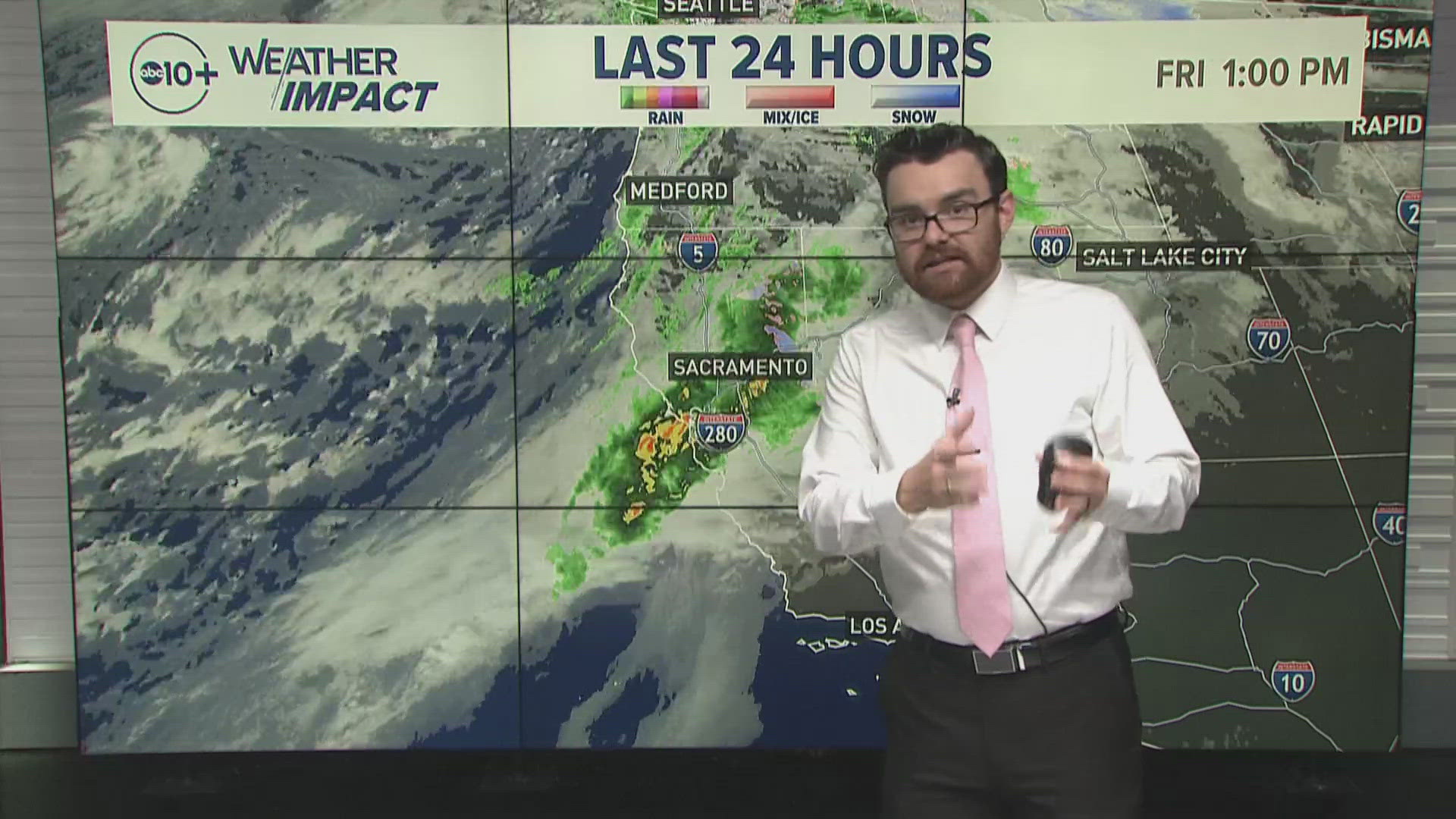
Spotty showers and thunderstorms are possible across the Valley Sunday following a bulk of the storm that passed through overnight. Most Valley locations picked up 0.25-0.50" of rain in the past 24 hours.
Thunderstorms are already beginning to form and chances will continue through the afternoon. Small hail, heavy rain, lightning and gusty winds will be the hazards associated with these storms if they happen to pop up overhead.
A high temperature of 52 degrees is expected in Sacramento on Sunday, much chillier than the average high of 65 for March 5. Highs in the 30s and 40s are expected in the foothills and only into the 20s in the Sierra.
Cool daytime high temperatures will persist Sunday and into the rest of the week in what has been a very cold stretch of weather for Northern California. In fact, Sacramento Executive recorded an average temperature of 48.8 degrees for February — making it the coldest February since 1989.
Monday and Tuesday will be similar to Sunday in terms of impacts with spotty rain showers for the valley and snow showers in the Sierra.
Wednesday will be the least impactful day for weather this week with only slim chances of rain and snow. Unusually high model uncertainty exists for later in the week but it appears that a warmer, wetter storm could be on the way towards the end of the work week and into next weekend.
WATCH ALSO: Northern California Storm Watch: Winter storms impact Sierra residents, Caltrans workers, more


