SACRAMENTO, Calif. — The sun is finally out across California following weeks of nearly constant rain and snow that caused extensive destruction but vastly improved drought conditions.
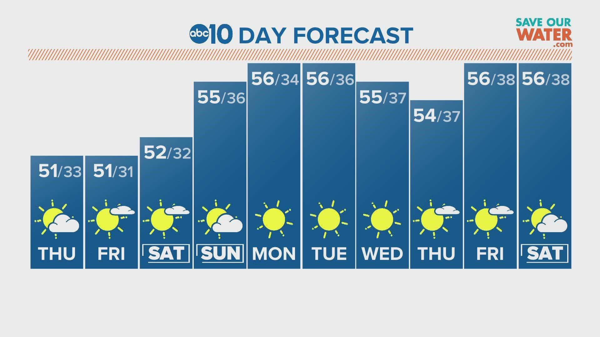
One final storm pushed through Northern California Wednesday night, dropping 0.37" of rain in Sacramento and another foot of snow to the Sierra. High pressure will take over beginning Thursday, giving the state time to dry out ahead of another potentially wet period in early February.
Looking back at the 10 storms that have hit northern California since Dec. 26, here's what each one brought to the area.
December 26-27
The first set of atmospheric rivers came through the day after Christmas. This storm was moisture rich but also fairly warm. Snow levels were over 11,000 for portions of the storm, making it a mostly rain event.
The atmospheric river was classified as extreme due to its water vapor levels even though it was a quick hitting system, according to the Center for Western Weather and Water Extremes.
Sacramento received 1.25 inches combined, setting the stage for what was to be an extraordinarily wet period ahead.
December 29-January 1
This was an extremely wet few days for the state, resulting in the first round of flooding. Strong winds accompanied this extremely wet storm sequence, knocking out power for over 300,000 in the Sacramento area.
New Year's Eve set a daily rainfall record for Sacramento with 2.37".
January 2
This system brought light rain and lower snow levels than the previous systems. Downtown Sacramento still received a healthy amount of rain with 0.82" falling that day.
January 4-5
This was the widely covered "bomb cyclone" event that brought more flooding and high winds.
While precipitation totals and winds were mildly over-forecast, most valley locations still received 1.5-2" in the two-day period and the Sierra saw 2-3 feet of snow.
January 7-January 11
This five-day period saw the landfall of three separate atmospheric rivers.
January 7 saw destructive winds that knocked down thousands of trees across the region. Sacramento International Airport had a wind gust of 72 mph while the rest of the area saw gusts 55-65 mph.
Sacramento received 2.52" of rain during this stretch, furthering flooding issues especially along the Cosumnes River.
January 13-January 16
A few more atmospheric rivers dumped moisture into Northern California, but this period marked the end of the parade of storms. Another 2-4" of rain fell in the valley and the Sierra was blanketed with multiple feet of snow.
Truly impressive precipitation totals fell over the last three weeks. The snowpack is currently higher to date than it was in the winter of 1982-83, which is the snowiest winter dating back to 1950.
In total, valley totals ranged from 8-15" of rain, the foothills received 20-30" of rain, and the Sierra received a whopping 10-15 feet of snow.
WATCH ALSO:


