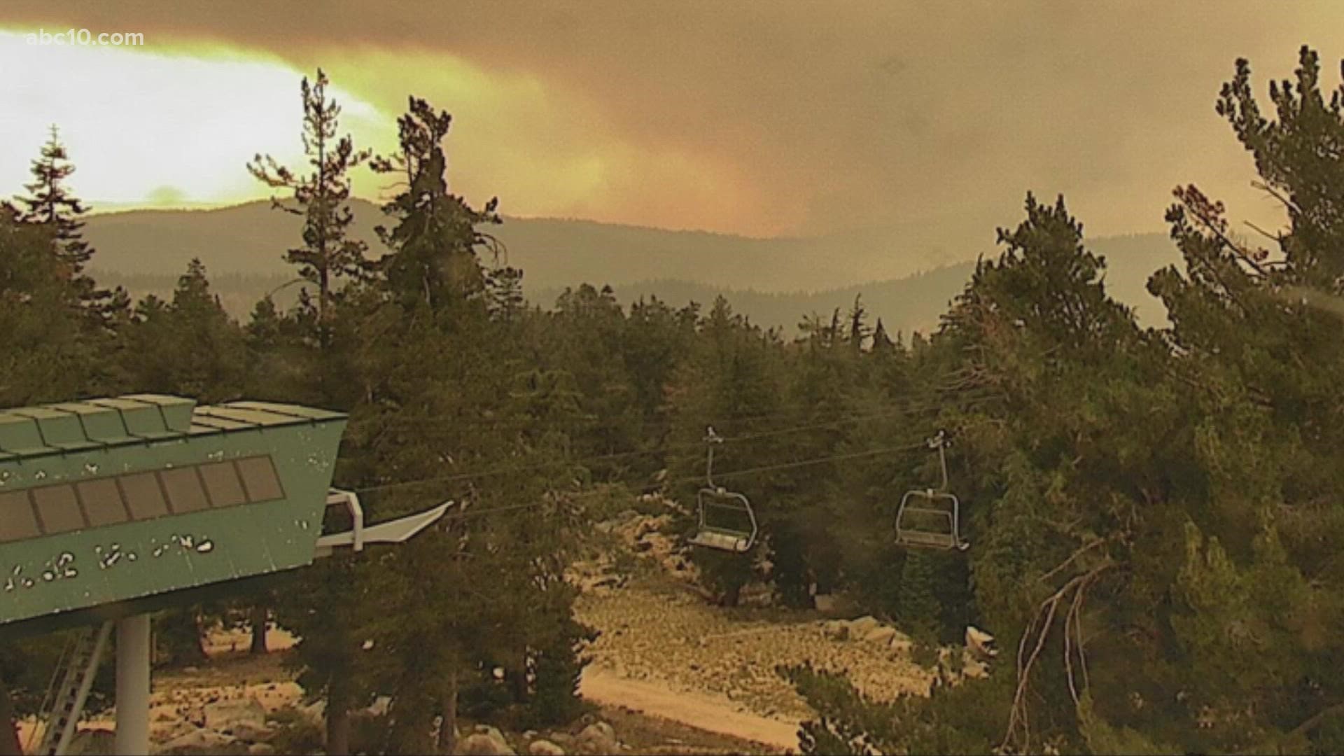
SOUTH LAKE TAHOE, Calif. — UPDATE: Monday 9 p.m.
Red Flag Warning has been extended through Wednesday for parts of the Sierra. Gusty winds and low humidity will continue creating dangerous fire conditions.
Rapid fire growth is possible around existing fires and new fire starts.
The strongest winds are expected Tuesday afternoon around the Caldor and Dixie Fires currently burning in Northern California.
Winds around the Caldor Fire could help the forward progression toward South Lake Tahoe.
ORIGINAL:
It’s a race against the clock as weather conditions continue to create issues for fire crews battling the Caldor Fire in Northern California.
A Red Flag warning has been issued for 11 a.m. Monday, Aug. 30, until 8 p.m. Tuesday, Aug. 31. Dry vegetation and very low humidity will aide in the critical fire danger.
A trough in the Pacific Northwest will deepen bringing in a front Monday through Tuesday. Winds are expected to increase to 15 to 20 mph with gusts as high as 30 mph. Stronger winds will be expected over ridges and crests.
Fire danger will continue into Wednesday, except wind speeds will be slower.
Temperatures will also be affected by the change in the weather pattern. Triple digits Sunday will turn to temperatures in the mid 90s Monday. The rest of the work week will be in the mid to upper 80s.
In Cal Fire's Monday morning briefing, it was explained that there’s a shallow inversion layer this morning, so this fire will take off quickly today when gusty winds are added.
READ MORE FROM ABC10:
- Cal Fire issues more evacuation orders for portions of El Dorado County | Evacuations, maps and road closures
- WILDFIRES | What you need to know to prepare, stay safe
- How to check the air quality where you live
- Resource center to open for Caldor Fire families
- Biden approves California disaster declaration following Dixie, River fires
ABC10: Watch, Download, Read
Watch more from ABC10
What supplies do you need if you're evacuated from a wildfire?


