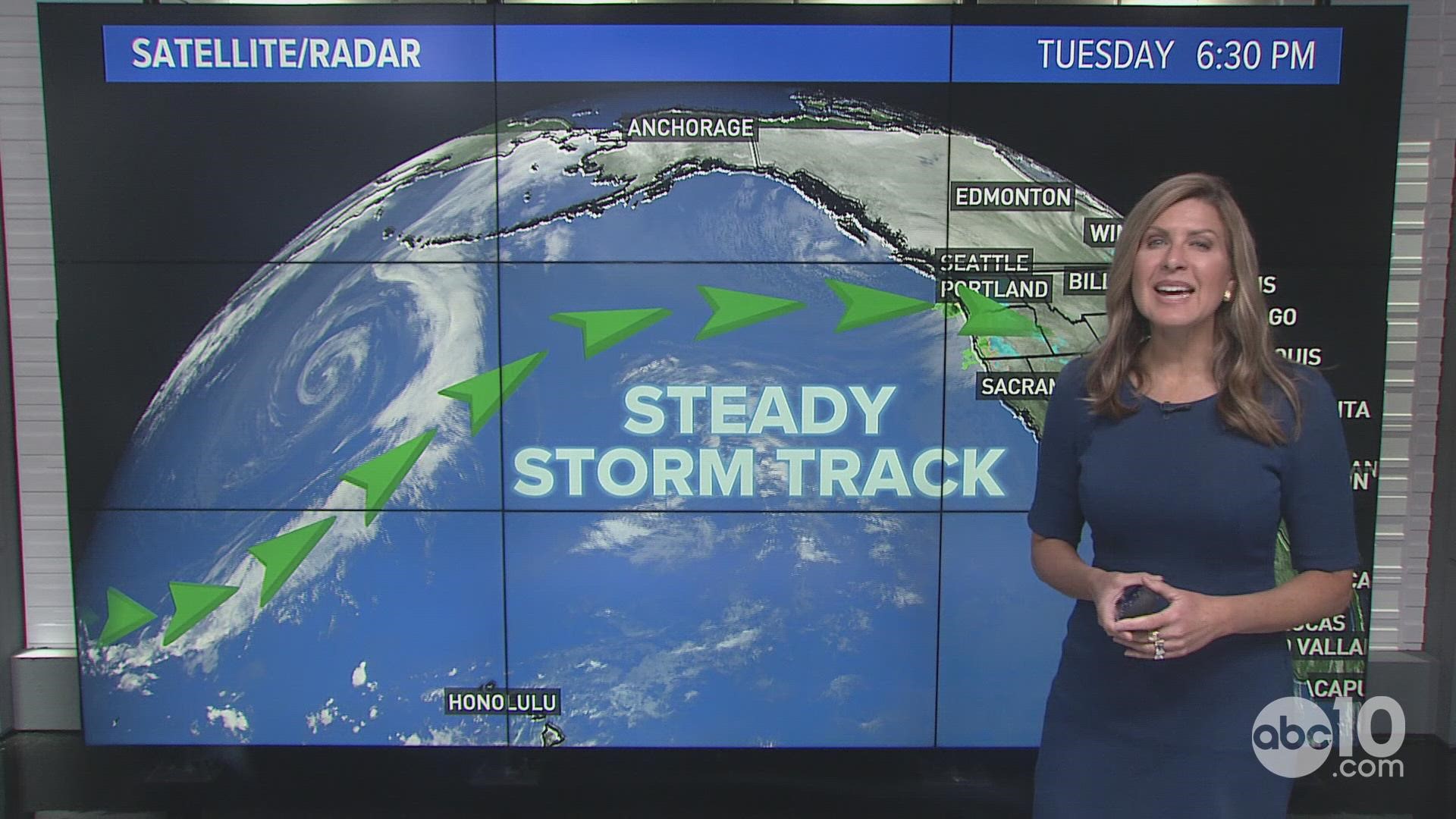
CALIFORNIA, USA — A Winter Storm Warning went into effect at 10 p.m. Wednesday along California’s mountainous eastern spine as back-to-back storm systems take aim for Northern California.
The systems come after a dry spell that followed a wet start to November. The cold, wet storms will soak the valley and bring feet of mountain snow in the coming days.
Through Thursday, this storm will bring rain, heavy mountain snow and gusty winds. Snowfall amounts of 1 to 3 feet are expected in the mountains, locally up to 4 feet, according to the National Weather Service.
Friday will be a quiet weather day before the next storm hits. The details of the second storm are murkier, but another 1-3 feet will likely fall in the mountains through Monday.
Travelers are likely to face road closures and chain controls.
Maps
Radar map from ABC10.com. Adjust the layers with a filter on the bottom right corner to show rain, snow, wind and current temperatures:
STORM RESOURCES:
► FORECAST DETAILS | Check out our hourly forecast and radar pages.
► GET WEATHER ALERTS TO YOUR PHONE | Download the ABC10 mobile app
► WEATHER IN YOUR EMAIL | Sign up for the Daily Blend Newsletter
National Weather Service's Sacramento radar:
TRAFFIC
Live map showing traffic conditions along Interstate 80, Highway 50, Highway 89 around Lake Tahoe and the Sierra Mountains.
Snow Park locations are identified with purple markers.
Sacramento Valley traffic from Waze (zoom in to where you want to go):
Power Outages
PG&E power outages:
SMUD outages can be found HERE.
Click HERE for more ABC10 weather maps.
WATCH ALSO:


