CALIFORNIA, USA —
Thousands are still without power Monday as the second of back-to-back atmospheric rivers pounds California.
The strongest winds of the storm are over for now with only breezy conditions in the morning. More scattered showers continue today with thunderstorms possible this afternoon.
Highs on Monday will be in the upper 50s and low 60s in the valley with partly to mostly cloudy skies.
A Flood Watch is in effect from Sunday to Tuesday. Mudslides and rockslides are possible in the foothills. Flood-prone areas, urban areas, roads, parking lots, and small creeks could flood. Rivers will be running high, even compared to where we've been.
A Winter Storm Warning is in effect until Tuesday for the Sierra. 1-3 ft of snow is possible in the Coastal Range and 4-6 ft possible in the Sierra. Wind gusts of 55 mph or higher are expected.
Power Outages
Here are the updated power outages across Northern California.
Sacramento County: Power outages: Tracking blackouts in Sacramento County
San Joaquin County: Power outages: Tracking blackouts in San Joaquin County
Yolo County: Power Outages: Tracking blackouts in Yolo County
Placer County: Power outages: Tracking blackouts in Placer County
Nevada County: Power outages: Tracking blackouts in Nevada County
Solano County: Power outages: Tracking blackouts in Solano County
Modesto area: Power Outages: Tracking blackouts in the Modesto area
STORM RESOURCES:
► RESOURCES | Helpful information and emergency resources to get you through this storm
► FORECAST DETAILS | Check out our hourly forecast and radar pages.
► GET WEATHER ALERTS TO YOUR PHONE | Download the ABC10 mobile app
► WEATHER IN YOUR EMAIL | Sign up for the ABC10 Today newsletter
Radar:
Radar map from ABC10.com. Adjust the layers with a filter on the bottom right corner to show rain, snow, wind and current temperatures:
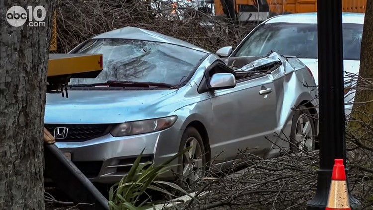
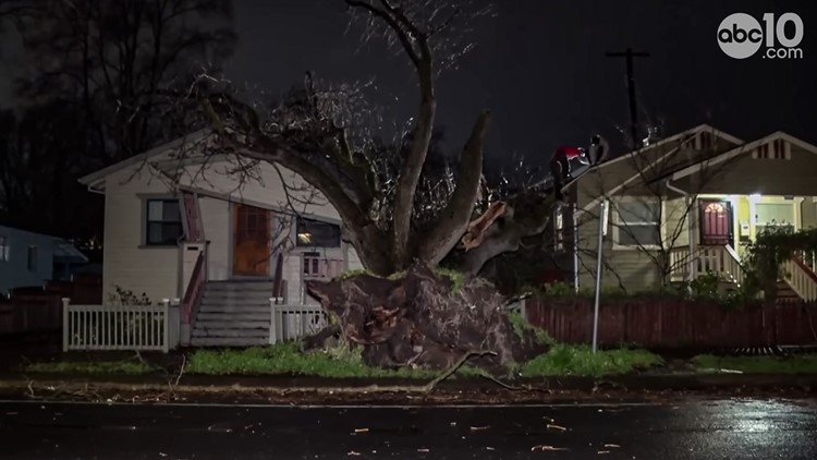
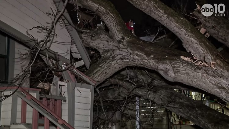
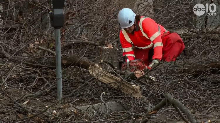
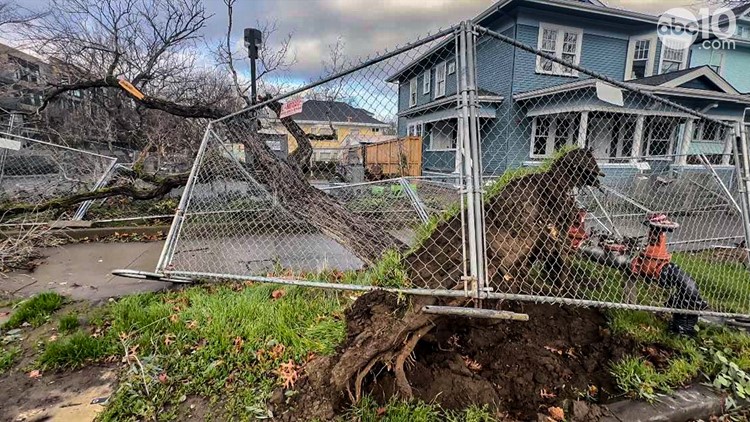
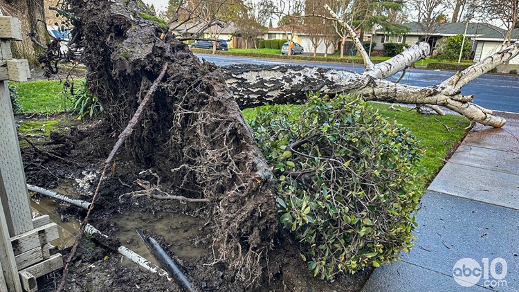
Storm damage in Sacramento after Northern California storms in early February 2024
Watch more from ABC10: California Storm Forecast: Atmospheric river storm, wind, rain and flood risk

