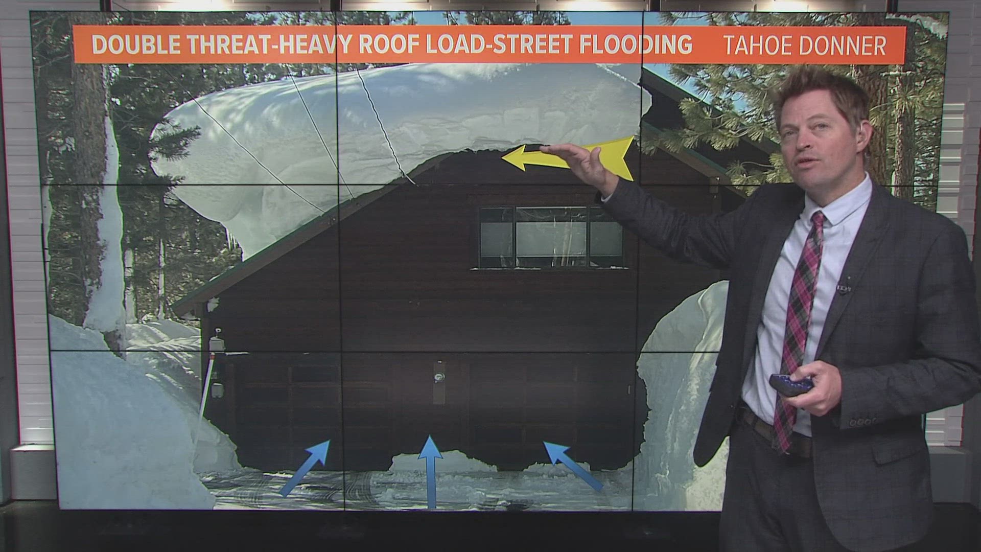
SACRAMENTO, Calif — Impacts from the most recent atmospheric river are wrapping up in Northern California, and the state will be treated to a much needed break from rain and snow for the next couple of days.
Looking ahead, the next chance of precipitation for Northern California will be Friday, but it won’t be anything like the atmospheric rivers that have been the story so far this month.
Although the rain and snow will be absent for at least the rest of the work week beginning Wednesday, temperatures will remain cool. Highs in the upper 50s and lower 60s and mostly sunny skies will be present under a short-lived high pressure regime.
The high pressure system will be replaced by a weak low pressure system that will potentially spread a few light rain showers to the valley and light snow to the Sierra. Minimal impacts are expected from this system in Northern California and the main focus will be shifted to another potentially impactful storm beginning next week.
Signals are pointing towards another atmospheric river setup taking shape in the Pacific. The details are still murky on the system, but it appears to be a much colder storm than the recent Pineapple Express events.
The Climate Prediction Center has issued a high risk for heavy precipitation in California and heavy snow for the Sierra ahead of next weeks expected storm.
While the storm is far enough away that the forecast is certain to change, it is apparent that the wet pattern isn't going anywhere anytime soon. Flooding risk will likely renew in flood prone areas, but it doesn’t appear to be a rain on snow event.
It is looking increasingly likely the Sierra is on its way to breaking the 700" total snowfall threshold this winter and some areas may break all time records.
The statewide snowpack is currently at 217% of average to date and this number will continue to grow as this unrelenting winter marches on.
WATCH ALSO:
ABC10: Watch, Download, Read


