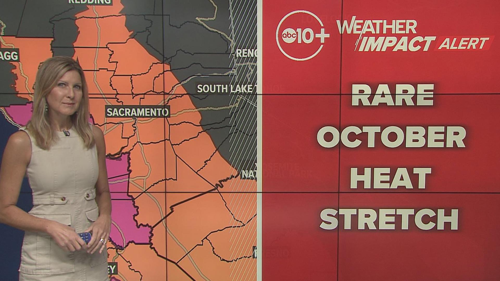
SACRAMENTO, Calif. — Northern California just experienced it's hottest summer on record, but the hits keep coming.
So far, there have been 45 days with temperatures 100 degrees or hotter in Sacramento, but there could be a few more that would extend that record.
Temperatures will be in the mid 90s for most valley locations, but the north wind has a slight offshore component. This wind direction has the ability to warm the air and dry it out, bringing a larger fire risk to the region. In some cases the air moving through canyons and passes and downslope warming could have coastal valleys warmer than inland areas.
Tuesday we will be close to records for the region. Here are some numbers of note:
DOWNTOWN SACRAMENTO
MONDAY: Normal: 85/57 | Record: 102 (1991) / 66 (1988)
TUESDAY: N: 85/56 | R: 101 (2001) / 64 (2020)
WEDNESDAY: N: 85/56 | R: 102 (2001) / 65 (2018)
Average last 100° day (since 1990): September 15
Latest last 100° day (since 1990): October 10, 1991
SACRAMENTO EXECUTIVE
MONDAY: N: 85/54 | R: 102 (2020) / 62 (2010)
TUESDAY: N: 85/54 | R: 102 (2001) / 61 (1958)
WEDNESDAY: N: 84/54 | R: 104 (2001) / 64 (2018)
STOCKTON AIRPORT
MONDAY: N: 87/55 | R: 100 (2020) / 65 (1991)
TUESDAY: N: 86/55 | R: 100 (2001) / 64 (2020)
WEDNESDAY: N: 86/54 | R: 101 (2012) / 66 (2018)
MODESTO AIRPORT
MONDAY: N: 85/56 | R: 100 (1988) / 66 (1991)
TUESDAY: N: 85/56 | R: 99 (2001) / 65 (1991)
WEDNESDAY: N: 85/55 | R: 99 (2012) / 67 (2008)
It's most likely we are closest to records Tuesday and Wednesday with widespread forecasts near 100 degrees. Thursday is also a day to watch with highs very close to 100 but not quite as hot.
People need to monitor for heat-related issues as well as a fire risk. The weekend will cool a bit but still be in the low 90s when our average high is in the mid 80s.
WATCH ALSO:


