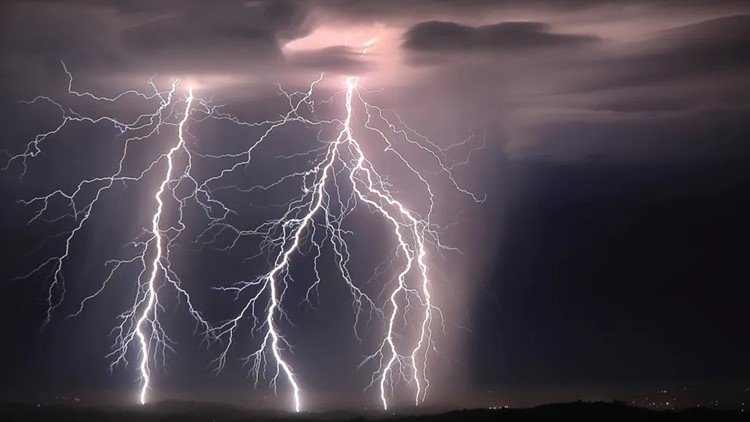
SACRAMENTO, Calif. — A strong line of thunderstorms early Tuesday morning woke many Northern Californians, prompting severe thunderstorm warnings from the National Weather Service and even a pair of tornado warnings.
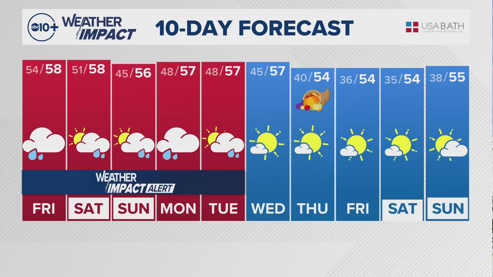
Precipitation chances continue throughout the day and Wednesday before a much needed break in rain Thursday.
There is a Wind Advisory until 1 p.m. Tuesday for the valley, including the Sacramento metro area, Stockton, Modesto, and out to the coast. Sustained winds of 15-25 mph are expected with wind gusts of 30-40 mph.
There is a Flood Watch through Tuesday afternoon for much of Northern California as creeks and rivers continue to run high, with some ponding on roadways continuing. With the potential for some thunderstorms Tuesday afternoon, locally heavy downpours will create additional but largely local flooding issues.
There is an Avalanche Warning until 4 p.m. for the eastern slope of the Sierra. Heavy snowfall combined with strong winds has made for unstable snowpack. Avoid travel through avalanche terrain. Avalanche danger is high on all aspects at all elevations.
TUESDAY AFTERNOON
With the main band of rain pointed towards Southern California, post-frontal rain showers continue to filter through the state. The environment from noon onwards is highly conducive to thunderstorm activity Tuesday afternoon in the valley and foothills. Gusty winds, heavy rainfall rates, small hail, and a weak tornado is possible.
Heavy snow rates will occur in the Sierra as the storm backs up against the higher elevations. Another 1-3 feet is likely and snow levels have dropped to around 4,500 feet.
TUESDAY EVENING & OVERNIGHT
Rain and thunderstorms will gradually lighten up as the evening wears on. Especially after sunset the air will become more stable and the thunderstorm risk drops.
Snow will also begin to taper off through the evening, though subfreezing temperatures won't allow for any improvements with regards to the road conditions, meaning travel will likely not improve very much even after sunset.
It will be largely dry across Northern California through the overnight hours, though some valley rain and Sierra snow is likely to linger.
As has been the pattern since late December, this break is only a brief one as more rain and snow arrives Wednesday.
WEDNESDAY AND BEYOND
Another system, this time weaker, will drop another 0.25-0.5 inches of rain in the valley and a few inches of snow in the Sierra.
Thursday will be mainly dry but another system will bring more rain and snow starting Friday. This wet pattern is likely to continue next week but long range models are hinting towards a drier stretch beginning around Jan. 20.


