SACRAMENTO, Calif. — The first of two winter storms passed through Northern California earlier this week and now the second one is expected to hit overnight Friday and lasting through Monday. Friday will be dry and cool, acting as a calm period between the two storm systems.
Impacts are expected to begin after midnight with snow moving in from south to north. This system will start off cold, with a high of 49 expected Saturday before the storm ushers in slightly warmer temperatures. Still, highs only in the mid 50s are forecast for the valley Sunday and Monday.
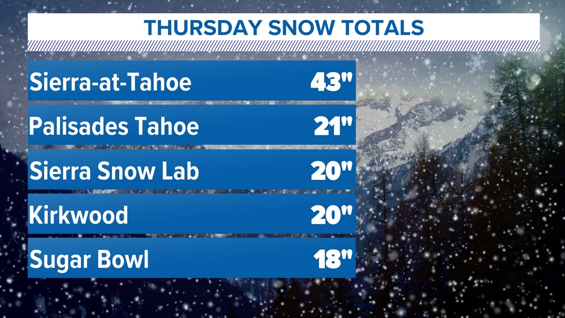
Thursday's system dropped 0.5-1" of rain in the valley and snowfall totals ranged from 1-2' with a whopping 43" for Sierra-at-Tahoe.


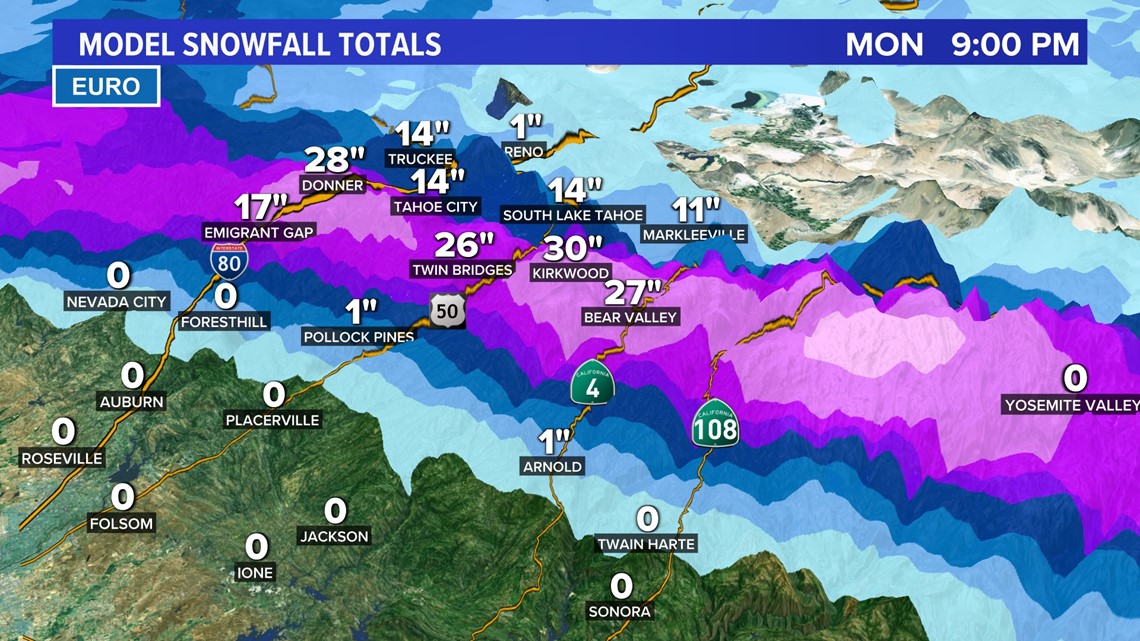
Expect similar conditions in the mountains Saturday and Sunday. An additional 1-3' of snow is expected along the crest with 0.5-2" of rain possible in the valley.
Travel through the Sierra will likely be impossible due to heavy snow rates Saturday and Sunday, with lighter snow lingering into Monday.


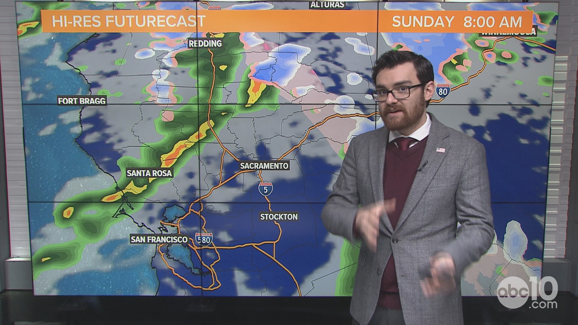
Saturday morning will be the beginning of the rain in the Sacramento area. On-and-off rain showers will continue throughout Saturday afternoon and evening, with the potential for thunderstorms Saturday afternoon due to unstable air.
Isolated showers are expected across Northern California through Monday before the system exits overnight. Light rain is expected during the California International Marathon along with temperatures in the 40s.
For those traveling Saturday and Sunday, expect periods of steady rain Saturday along with heavy mountain snow. Travel across the Sierra is extremely discouraged due to very dangerous conditions expected.
WATCH ALSO: The critical need for snowpack in NorCal


