CALIFORNIA, USA — The bomb cyclone finally made its anticipated appearance Wednesday evening dumping heavy rain along the California coastline and Bay Area.
Although the valley did receive a healthy amount or rain, the storm's biggest concern was with the strong gusts. Valley gusts came in between 35-50 mph, while foothill spots saw up to 71 mph just outside Arnold.
Power outages, downed trees and powerlines, along with other toppled structures were reported across the state, although widespread outages were fortunately avoided.
The Winter Storm Warning remains in effect for much of the Sierra through 4 a.m. Friday.
A Flood Advisory in Placer, Amador, El Dorado, Sacramento and Yolo Counties. Heavy rain could cause urban and roadway flooding as well as small-stream flooding.
A Flood Watch is in effect for much of Northern California, including the cities and neighborhoods of Sacramento, Stockton and Modesto through 10 a.m. Friday.
Here's what to expect as the storm rolls out Thursday.
Thursday Afternoon
Scattered showers will lead to thunderstorm chances after 3 p.m. Isolated showers could produce areas of flash flooding and debris flow potential, especially near burn scars. Winds will be lighter compared to what we saw in the overnight hours and early Thursday morning.
Thursday Night
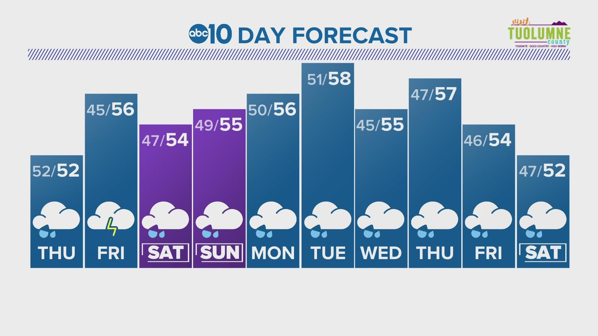
Showers will shift east and begin tapering off after 9 p.m. Winter weather in the Sierra will continue to produce snow at about 5,000 feet. A lull in precipitation can be expected Friday before another storm rolls in on Saturday.

