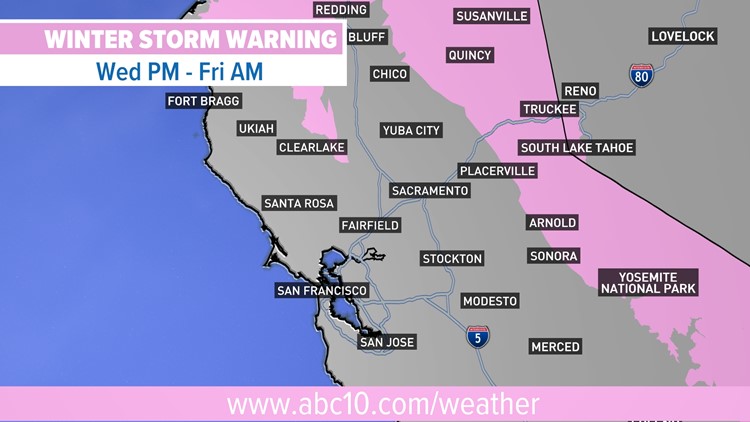
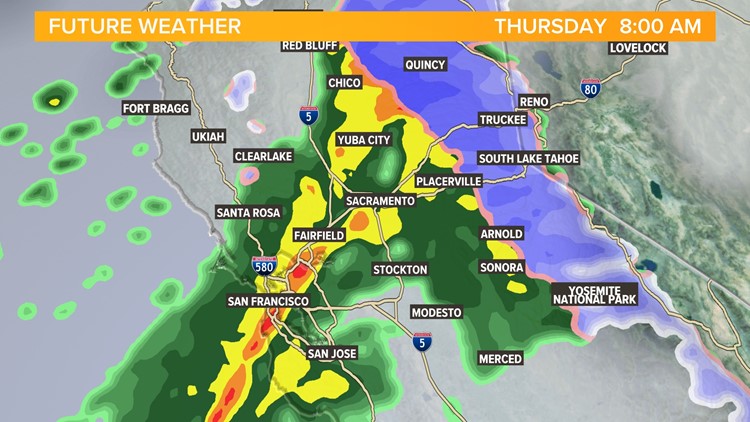
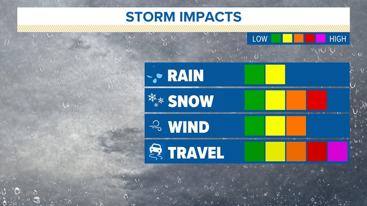
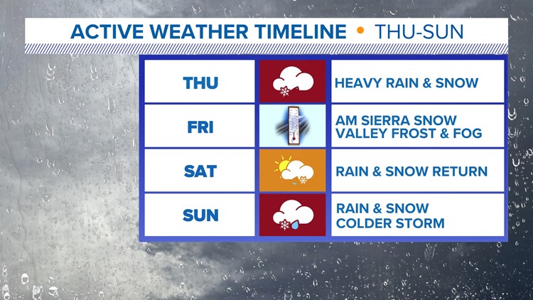
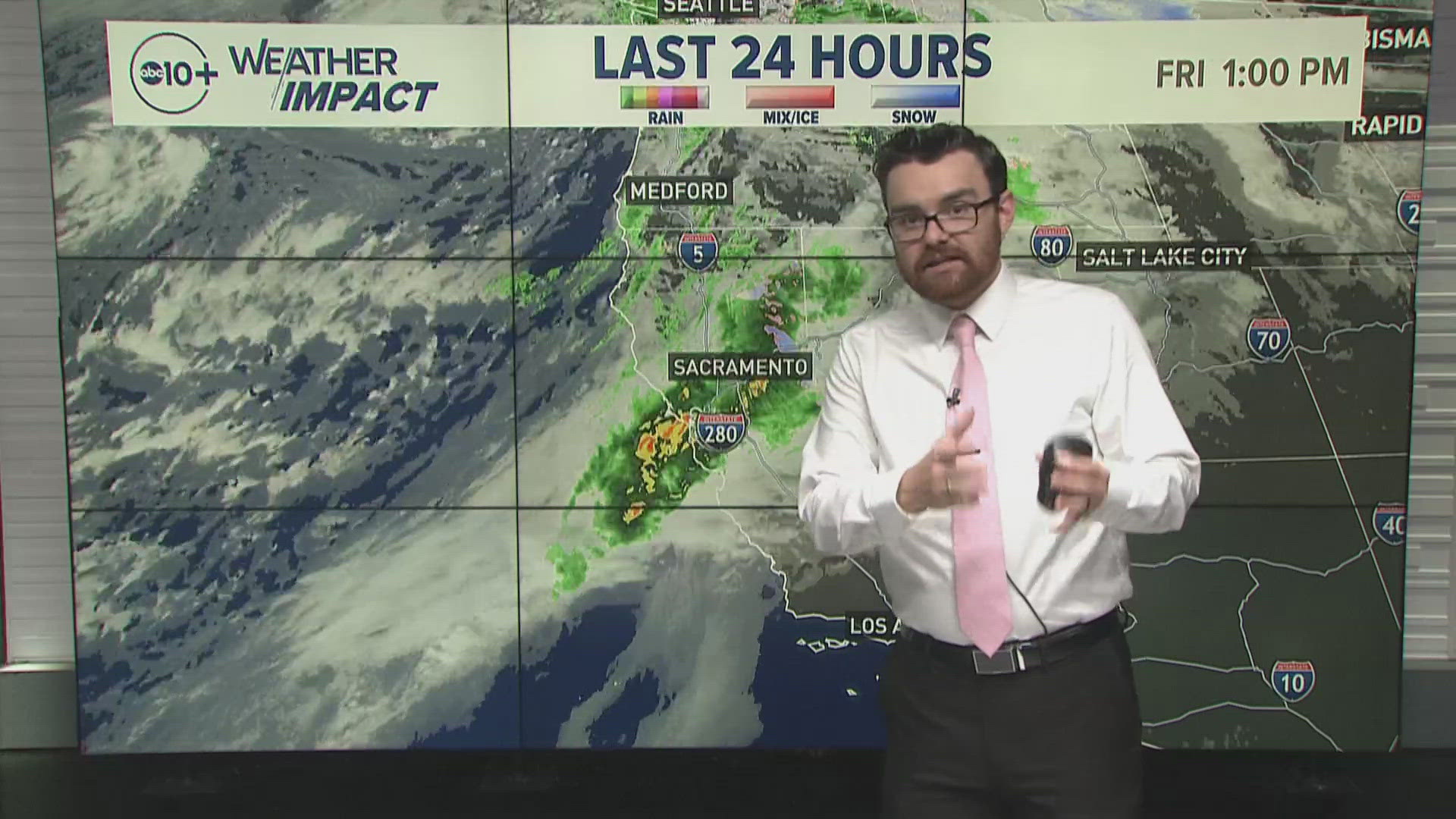
SACRAMENTO, Calif. — Rain, snow, and gusty winds continue to drop into Northern California Thursday into Friday morning.
Midnight not only brought a new month but also a much-needed wet period following a bone-dry second half of November. Two systems will impact Northern California back-to-back, with the first system moving through Thursday.
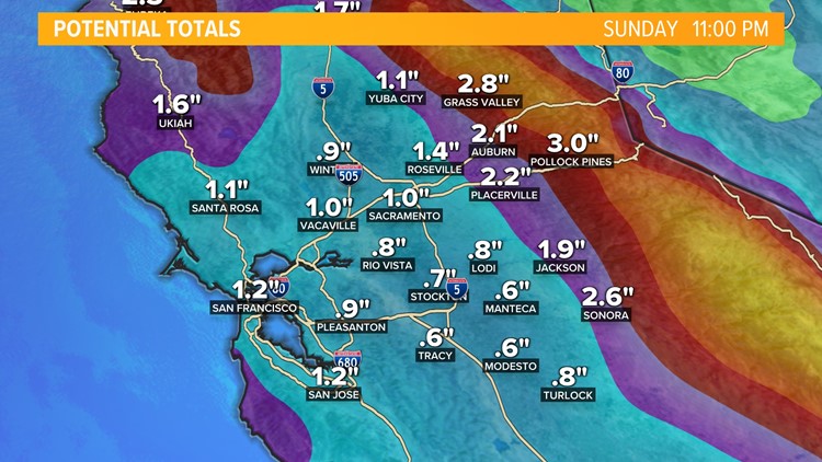
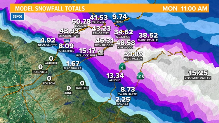
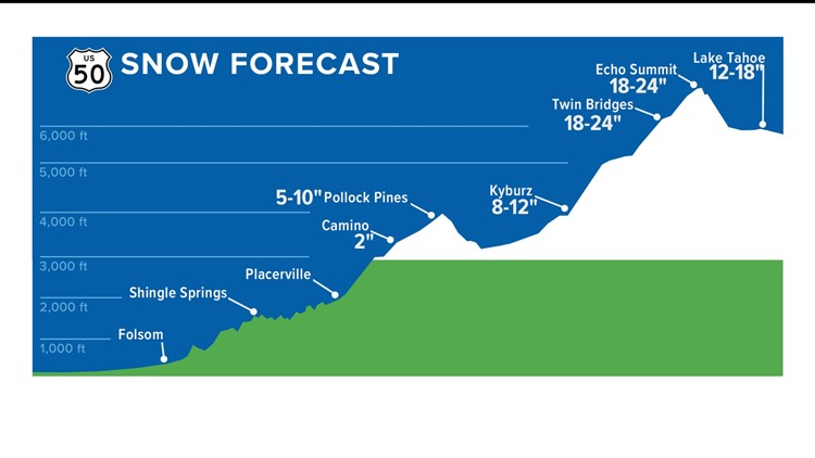
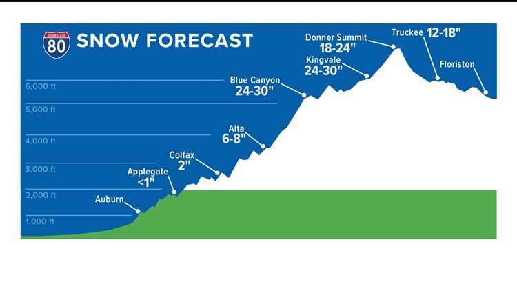
We've already seen upwards of a third of an inch of rain across much of the valley, with 1 to 2 feet of snow near Donner as of Thursday night.
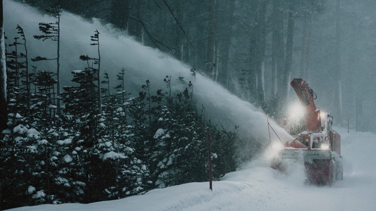
The first of the two storms created big travel impacts, closing I-80 several times Thursday due to blowing snow causing white out conditions and dangerous travel.
An Avalanche Warning has been issued by the National Weather service into Friday morning.
Overnight Impacts
The rain and snow continues to shift southeast and out of the area leaving snow showers to taper off by midnight.
Cold air moves in as skies begin to clear overnight. This will lead to areas of dense fog. In fact, a Dense Fog Advisory has been issued. Visibility could drop down to as low as a quarter mile for some areas. Fog could last from 1 a.m. to 9 a.m. in the valley and span an area from Redding to Turlock.
Near freezing temperatures may also lead to frost and freezing fog. This will cause more dangerous travel. Drivers are advised to take it slow for the Friday morning commute.
Winter Storm Forecast: Dec. 1
WATCH ALSO:


