SACRAMENTO, Calif. — An extraordinary pattern has set up in the atmosphere, flinging atmospheric river after atmospheric river to California's shores.
This pattern will continue through the extended forecast, creating potentially dangerous conditions due to saturated soils and high water levels in creeks and rivers. The latest 'bomb cyclone' storm is still affecting Northern California but will wind down by Thursday night. While the storm didn't provide the expected widespread power outages, it still dumped enough rain to keep flood danger high as more storms move in this weekend and beyond.
The succession of systems has officially dropped the San Joaquin Valley out of the exceptional drought category, as shown by the latest update of the drought monitor.
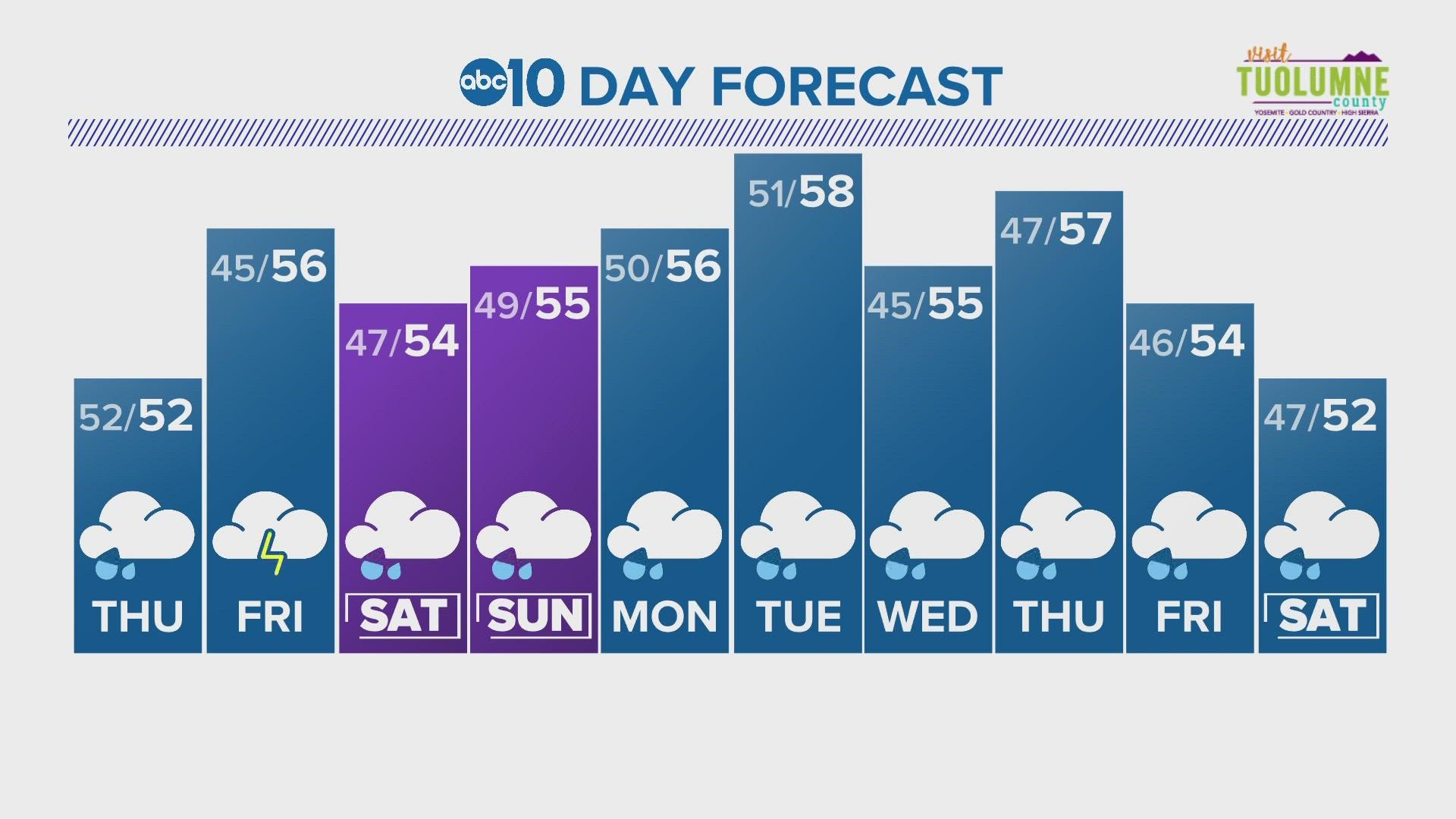
Friday will act as a buffer between storms with the next atmospheric river event expected to move in early Saturday.
The weekend storm is expected to drop 1-3" of rain across the valley with potentially lower amounts for areas south of Sacramento. Foothill areas can expect to see slightly higher totals. This will be a colder event, with snow levels hovering around 4,500-5,000 feet. An additional 1-2 feet of snow is expected in the Sierra as well with locally higher amounts.
There won't be much of a break between systems, creating a dangerous situation as potentially heavier rain moves in on Monday. The second storm system is expected to be stronger than the weekend storm and could result in widespread flooding. This system could bring 2-4" to the valley, 3-8" in the foothills, and up to 4 feet of snow in the Sierra.
The storm door continues to be all the way open as potentially another storm could impact the area Thursday with even more behind that one.
It is no doubt an extremely active period for California weather and Northern California residents should remain vigilant as flood concerns continue.


