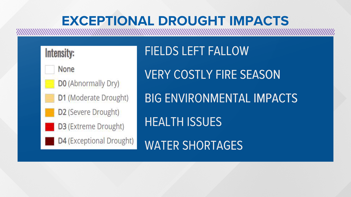
SACRAMENTO, Calif. — The U.S. Drought Monitor released the updated map for drought conditions in California on Thursday with more areas in the Sacramento Valley and San Francisco Bay Area now covered by the agency's most critical category, exceptional drought.
Much of this expanded area was hit hard with wildfire last year, many of the fires sparked from an unusual summer lightning storm. Unfortunately, very costly fire seasons are just one of the Exceptional Drought impacts.


Now, roughly 26% of the state is in Exceptional Drought, the highest level for the U.S. Drought Monitor. Over 74% of California remains in the next highest level, Extreme Drought. Over 37 million Californians are in a drought area.
On May 10, Gov. Gavin Newsom expanded a drought emergency declaration to 41 of California’s 58 counties amid “acute water supply shortages” in northern and central areas and said a further expansion is likely. The drought state of emergency proclamation was significantly expanded from Newsom's original proclamation on April 21.
Water levels continue to remain low at many of the major reservoirs. Here is a look at how "full" the lakes were as of May 27, 2021.


The last drought in California from 2012-16 was so catastrophic, some of the hardest-hit communities still haven’t recovered. Can the Golden State get ready in time to make it through the next one before even more towns go under? An ABC10 Originals investigation from Monica Woods. Click here to watch and subscribe to the ABC10 YouTube channel.


