CALIFORNIA, USA — Winter storm warnings are going into effect along California’s mountainous eastern spine Wednesday as a new cold front approaches.
The system is the latest in a series of spring storms that has followed a dry winter that left California deep in drought.
Widespread rain, heavy mountain snow and periods of gusty winds are predicted to last into Friday, possibly spreading showers down into Southern California, the National Weather Service said.
Higher elevations were expected to receive at least 1 foot to 2 feet (30-60 centimeters) of snow. Rainfall predictions ranged up to 3 inches (7.6 centimeters), with possibly higher amounts if thunderstorms develop.
Travelers were likely to face whiteout conditions, road closures and chain controls, forecasters said.
Maps
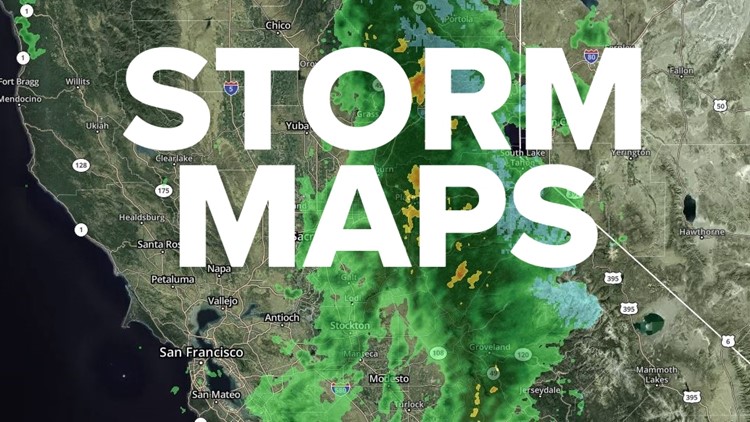
Radar map from ABC10.com. Adjust the layers with a filter on the bottom right corner to show rain, snow, wind and current temperatures:
STORM RESOURCES:
► FORECAST DETAILS | Check out our hourly forecast and radar pages.
► GET WEATHER ALERTS TO YOUR PHONE | Download the ABC10 mobile app
► WEATHER IN YOUR EMAIL | Sign up for the Daily Blend Newsletter
National Weather Service's Sacramento radar:
TRAFFIC
Live map showing traffic conditions along Interstate 80, Highway 50, Highway 89 around Lake Tahoe and the Sierra Mountains.
Snow Park locations are identified with purple markers.
Sacramento Valley traffic from Waze (zoom in to where you want to go):
Power Outages
PG&E power outages:
SMUD outages can be found HERE.
Click HERE for more ABC10 weather maps.
WATCH MORE:


