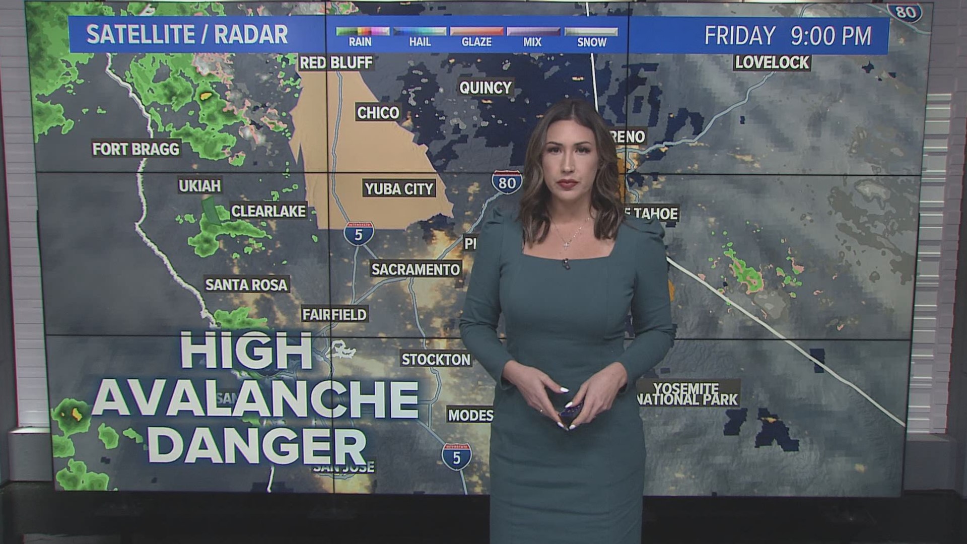
SACRAMENTO, Calif. — Another storm is pushing into California on Saturday. The forecast calls for rain, high winds and cold temperatures to the Sacramento region and snow across the Sierra region.
Heavy rain – likely the heaviest at any time during the storm – moves into the Sacramento Valley during the late afternoon and early evening. The heavy rain may lead to some ponding on roads and somewhat reduced visibility. In other words, a good soaking rain is expected.
A Winter Storm Warning is now in effect and continues until early Sunday morning.
Additionally, an Avalanche Warning is in effect for the Sierra. The Sierra Avalanche Center is forecasting high avalanche danger today. New snow accumulation and strong winds will further destabilize already weak slabs. Natural avalanches are likely; human-triggered avalanches are very likely. Travel in avalanche terrain is not recommended due to very dangerous avalanche conditions and the possibility for large avalanches.
Maps
Radar map from ABC10.com. Adjust the layers with a filter on the bottom right corner to show rain, snow, wind and current temperatures:
STORM RESOURCES:
► RESOURCES | Helpful information and emergency resources to get you through this storm
► FORECAST DETAILS | Check out our hourly forecast and radar pages.
► GET WEATHER ALERTS TO YOUR PHONE | Download the ABC10 mobile app
► WEATHER IN YOUR EMAIL | Sign up for the ABC10 Today newsletter
National Weather Service's Sacramento radar:
Power Outages
California OES power outage map is HERE or below:
PG&E power outages are found HERE:
TRAFFIC
Sacramento region traffic map:
Live map showing traffic conditions along Interstate 80, Highway 50, Highway 89 around Lake Tahoe and the Sierra Mountains.
Snow Park locations are identified with purple markers.
Sacramento Valley traffic from Waze (zoom in to where you want to go):
Click HERE for more ABC10 weather maps.
WATCH MORE: Megaflood: How the Sacramento region is preparing for potentially catastrophic flooding.


