SACRAMENTO, California —
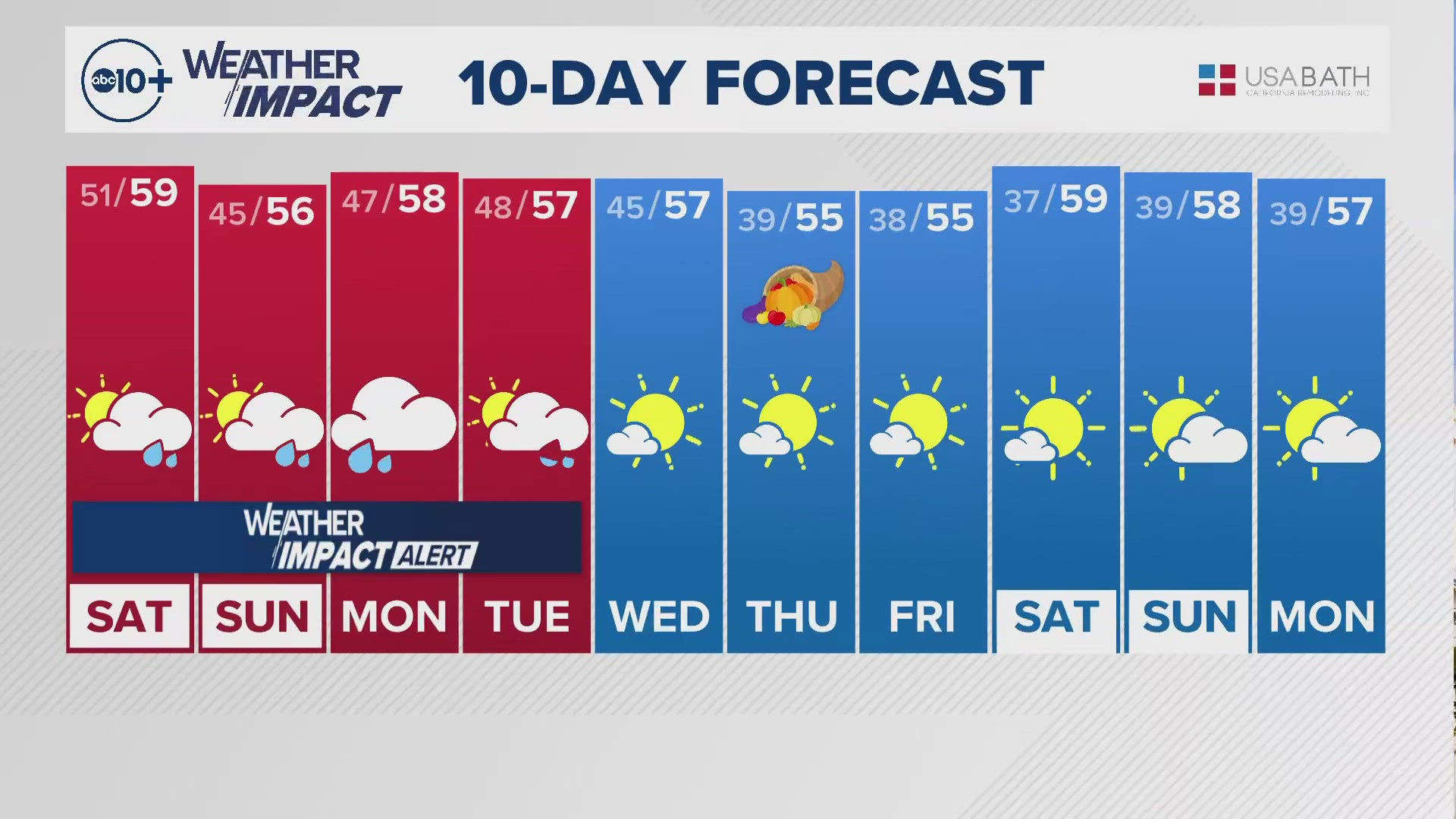
Following a stormy Saturday and a windy Sunday, a more mild pattern is setting up across California just in time for a week of busy travel.
Rainfall totals from the storm system generally ranged from 0.25-0.75" in the valley while foothill and Sierra locations saw anywhere from 1-3".
Snow totals were generally on the lighter side, with South Lake Tahoe picking up only a trace, Truckee 0.5," Palisades 4" and Mt. Rose 10".
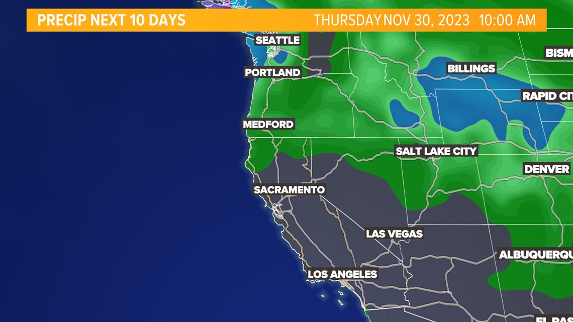
The low pressure system that brought the unsettled weather late last week into the weekend has been replaced by high pressure across the Western US. With the polar branch of the jet stream slamming into British Columbia and the subtropical jet too far south, California will find itself in a dry stretch through at least the next 10 days.

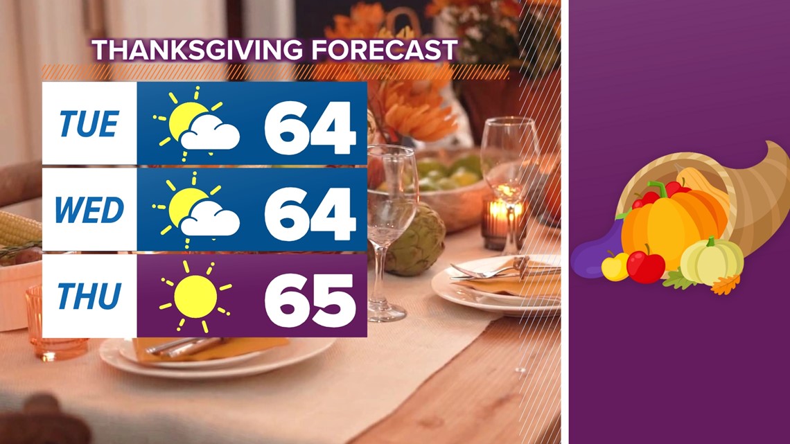
High temperatures will be right around average for this point in November through Wednesday, with low to mid 60s expected. Thursday will be the warmest day of the week and valley high temperatures will top out in the mid to upper 60s while foothill and Sierra temperatures will be in the 50s and 40s throughout this week.
Sacramento will continue its streak of Thanksgivings without any rain and temperatures in the 60s. This streak of no precipitation is nothing compared to the stretch of rainfall measurements on the holiday failing to reach more than 0.01” in downtown Sacramento that lasted from 1943-1970.
The record high temperature on Thanksgiving in Sacramento is 75 degrees in 1959 while the coldest high recorded on Turkey Day is 46 degrees in both 1931 and 1954. This year's high will be comfortably between these two extremes.

Apart from the mainly tranquil week of weather ahead, the main feature this week will be a period of gusty winds from the north on Thursday and into Friday thanks to an inside slider system that will brush Northern California, also dropping temperatures back into the low 60s by the weekend.
While the high pressure overhead is bringing mild temperatures and dry conditions to most of the Western U.S., much of the eastern U.S. will be on the cooler side later this week.

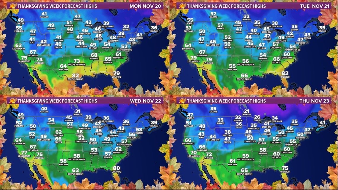
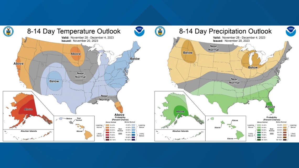
The Climate Prediction Center favors this pattern continuing into next week, with warm, dry conditions along the west coast and cooler conditions in the east.

WATCH ALSO:


