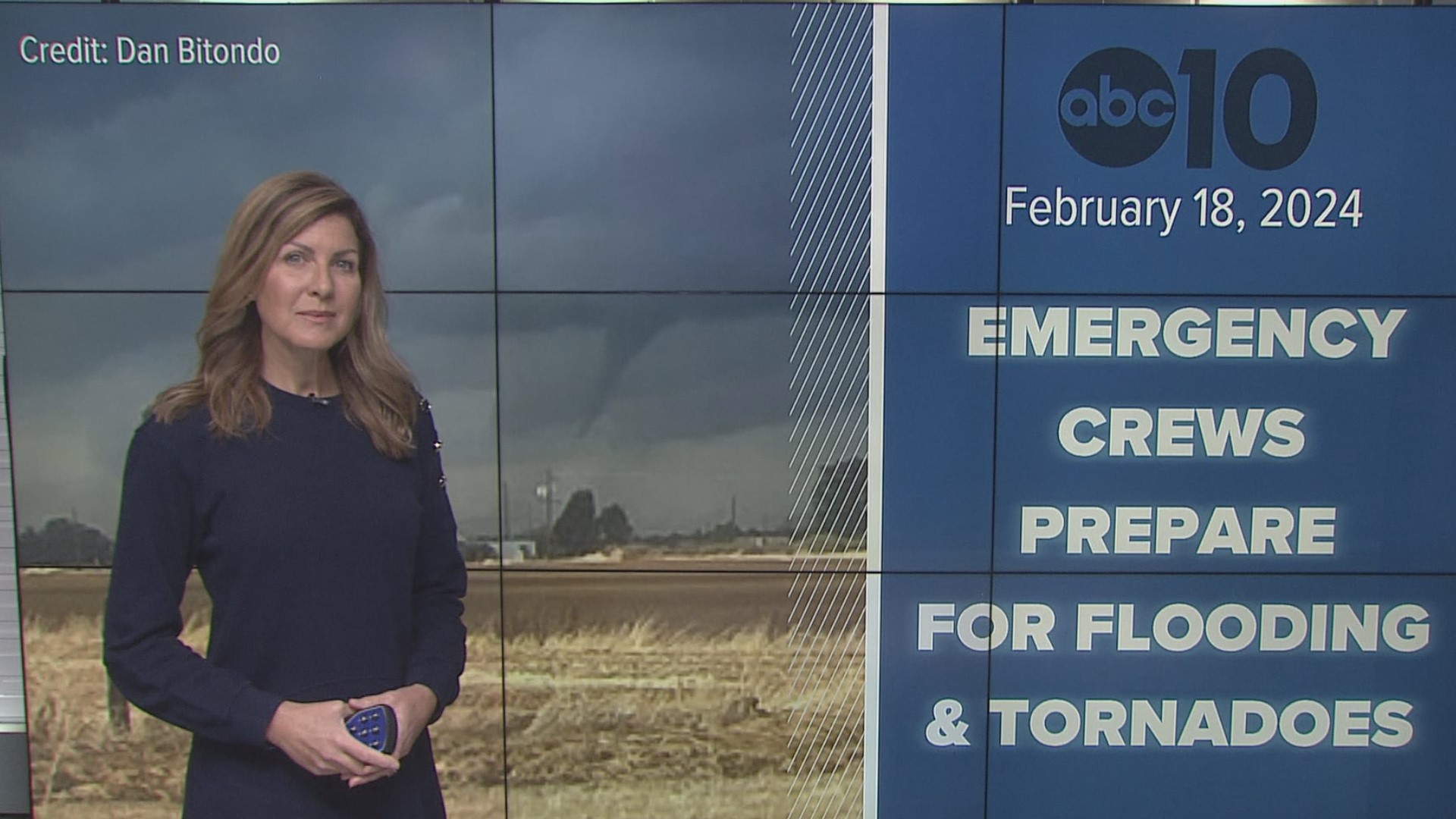
SACRAMENTO, Calif. — A powerful Pacific storm will bring an increased risk of multiple weather hazards, including severe weather on Monday.
Heavy rain will become more showery Monday morning. The clearing skies during the morning will help to further prime the atmosphere for thunderstorms from mid-morning through the early evening. Not everyone will see thunderstorms, but everyone has a chance.
A Flood Watch is in effect across the valley and continues until Wednesday morning.
People should also be aware of possible roadway flooding and the potential for mudslides or rock slides in the foothills, according to NWS.
Officials are expecting heavy snow and snow accumulations of one to two feet above 5,500 feet, with three to four feet possible at the highest peaks. Chain controls and road closures are possible through Wednesday.
Maps
Radar map from ABC10.com. Adjust the layers with a filter on the bottom right corner to show rain, snow, wind and current temperatures:
STORM RESOURCES:
► RESOURCES | Helpful information and emergency resources to get you through this storm
► FORECAST DETAILS | Check out our hourly forecast and radar pages.
► GET WEATHER ALERTS TO YOUR PHONE | Download the ABC10 mobile app
► WEATHER IN YOUR EMAIL | Sign up for the ABC10 Today newsletter
National Weather Service's Sacramento radar:
Power Outages
PG&E power outages.
TRAFFIC
Sacramento region traffic map:
Live map showing traffic conditions along Interstate 80, Highway 50, Highway 89 around Lake Tahoe and the Sierra Mountains.
Snow Park locations are identified with purple markers.
Sacramento Valley traffic from Waze (zoom in to where you want to go):
Click HERE for more ABC10 weather maps.
WATCH MORE: Megaflood: How the Sacramento region is preparing for potentially catastrophic flooding.


