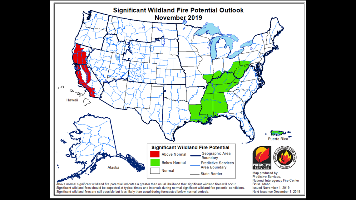
Each month the National Interagency Fire Center releases a report on the likelihood of wildfire development across the continental United States. Here's a breakdown of the most recent report released on November 1, 2019.
WildFire Potential: November 2019
The Sacramento Valley and Foothills, entire Bay Area and the western slopes of the Cascade-Sierra range are projected to have above-normal significant fire potential in November, with noted emphasis on the first half of the month.
All other areas in Northern California have normal significant fire potential in November.

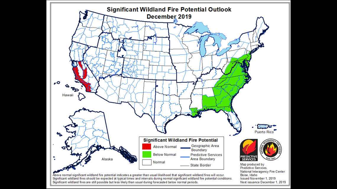
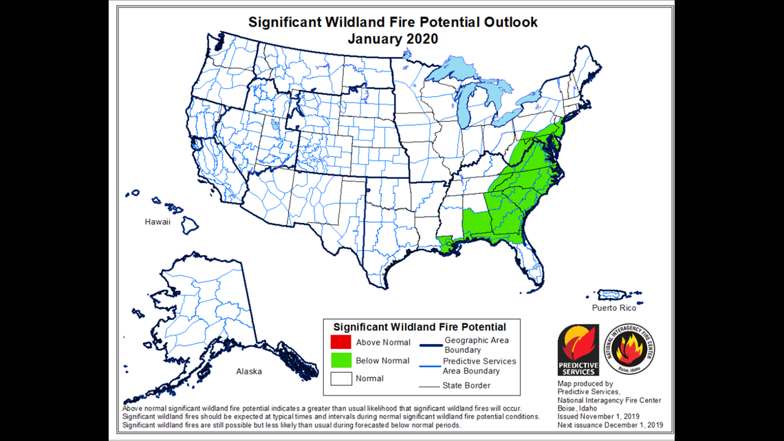
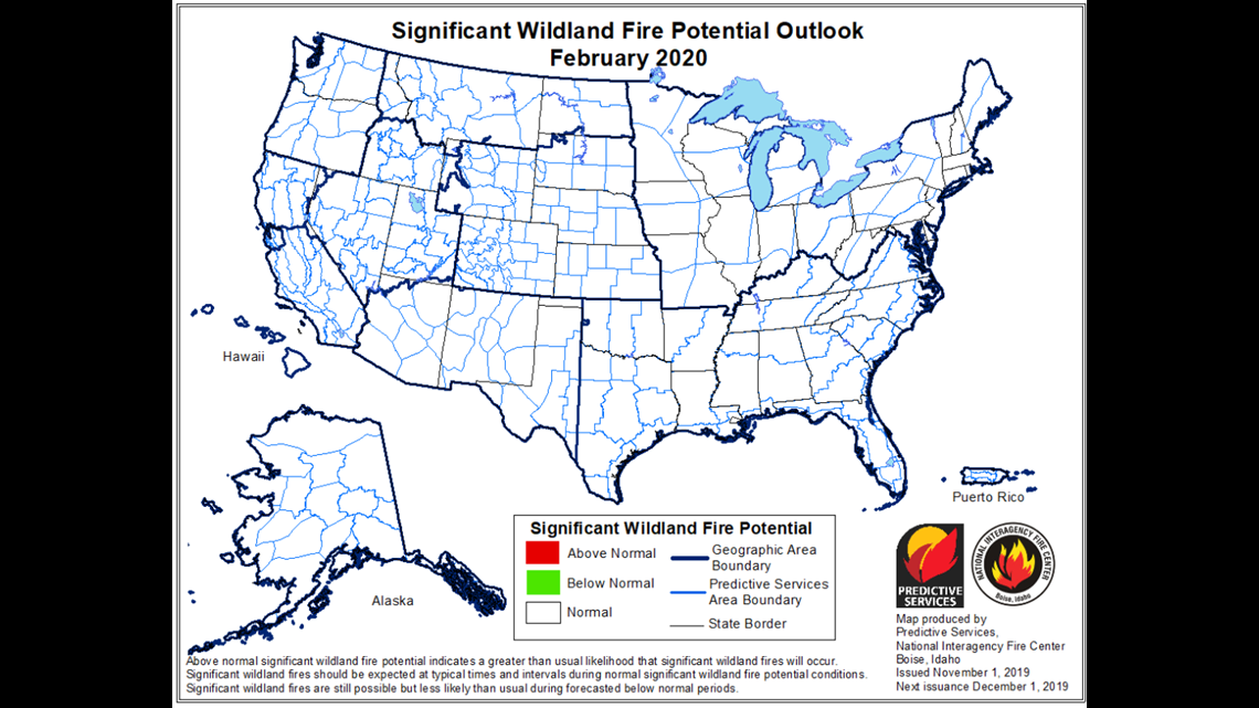
WildFire Potential: December 2019 - February 2020
During this timeframe, the entire Northern region of California has normal significant fire potential.



Long Range Weather Outlook
- Warmer and drier than normal conditions to continue into the middle of November across the region.
- In fact, no rainfall is expected within the region through the first week of November.
Overall, the four-month period through February 2020 is expected to remain warmer and drier than normal.
Fuel Concerns
- The Sacramento Valley, Foothills, entire Bay Area, Mid Coast PSA from Clear Lake south, and the western slopes of the Cascade-Sierra range have been the driest areas and receive the most intense warming and drying effects during wind events
- These areas have a heavier than normal crop of yearly brush growth and cured fine fuels. Live fuel moisture values, as well as dead fuel moisture values, in these areas, are at critical levels.
- Recent fire activity below 5,000 feet has demonstrated extreme fire behavior with rapid spread rates, confirming that fuel indices are at their seasonal extreme values.

Jet Stream Influence Led to Major Wind Events
- In late September, the jet stream seemed to wane in influence.
- A strong ridge formed off the coast, leading to warmer and drier conditions across the region. The ridge’s placement allowed cold air advection to spill into the Rockies and Great Basin.
- Offshore gradients were generated from this pattern and the first moderate to strong offshore wind event of the season occurred on October 10 - 11.
How Extreme Wind Events Affect Fuels
- Some wind gusts exceeded 60 mph across Southern California during the event, fueling the rapid spread of the Saddle Ridge and Sandlewood fires.
- The extremely dry, windy and warm weather caused dead fuel moisture to drop to the 90-95th percentile in terms of dryness while live fuel moisture dropped to near critically dry levels by month’s end.
- Further offshore wind events occurred on a 3-5 day cycle through October 31 creating further drying of fuels.
The Possibility for More Offshore Wind Events
- North-northeast/offshore wind events are expected to occur once or twice per week at low to medium strength through the end of November.
- Moderate or stronger events such as the ones that occurred in October will likely occur once or twice in November.
Any Rain on the Way?
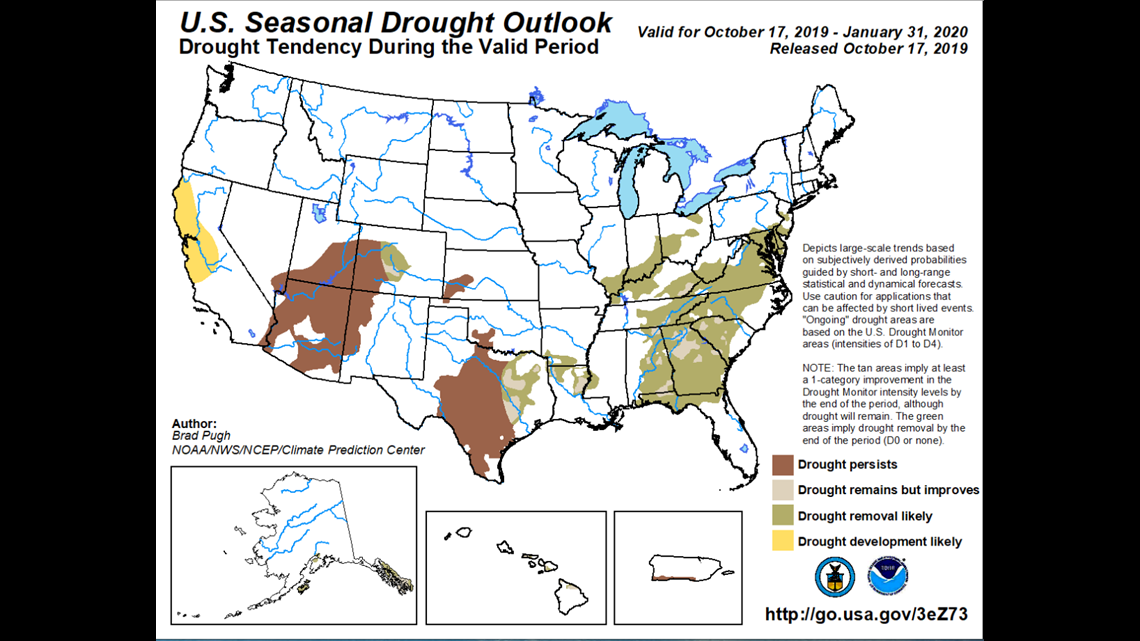
Long-range models offer little optimism that wetter weather will arrive anytime soon. The ridge off the coast is expected to figure prominently in the overall weather pattern for the next several weeks, if not longer. Wetting rains do not appear imminent, or even possible, through the middle of November.
In addition, most long-range models indicate that the next three months may be drier than average as well. While, admittedly, long-range models are not terribly accurate more than a few weeks out, the overall pattern this winter is trending drier in most long-term model guidance.
The Bottom Line
We expect large fire potential to remain Well Above Normal across much of the area in November and across the southern half of the district in December. Offshore wind events are expected to arrive on a near to slightly above normal level of frequency.
Continue the conversation with Tracy on Facebook.
RELATED:
FREE ABC10 APP:
►Stay In the Know! Sign up now for ABC10's Daily Blend Newsletter


