SACRAMENTO, Calif. — Landslides of rock and mud closed roadways across California as heavy rains kicked off what will be series of storms poised to usher in the new year, likely bringing downpours and flooding.
An atmospheric river storm began sweeping across the northern part of the state Friday and was expected to bring more rain through Saturday. Multiple feet of snow is forecast in the Sierra by Sunday.
Officials warned that rivers and streams could overflow and urged residents to get sandbags ready.
A flood watch was in effect in much of Northern California through New Year’s Eve. In Southern California, moderate-to-heavy rain is expected Saturday.
Maps
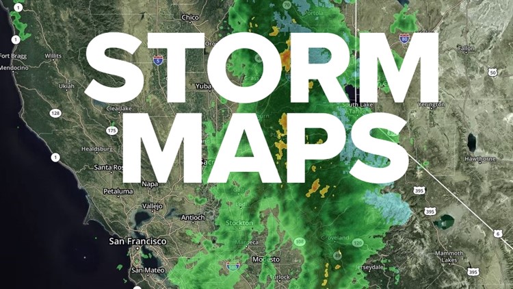
Radar map from ABC10.com. Adjust the layers with a filter on the bottom right corner to show rain, snow, wind and current temperatures:
STORM RESOURCES:
► RESOURCES | Helpful information and emergency resources to get you through this storm
► FORECAST DETAILS | Check out our hourly forecast and radar pages.
► GET WEATHER ALERTS TO YOUR PHONE | Download the ABC10 mobile app
► WEATHER IN YOUR EMAIL | Sign up for the ABC10 Today newsletter
National Weather Service's Sacramento radar:
TRAFFIC
Sacramento region traffic map:
Live map showing traffic conditions along Interstate 80, Highway 50, Highway 89 around Lake Tahoe and the Sierra Mountains.
Snow Park locations are identified with purple markers.
Sacramento Valley traffic from Waze (zoom in to where you want to go):
Power Outages
PG&E power outages:
SMUD outages can be found HERE.
Click HERE for more ABC10 weather maps.
WATCH MORE: Megaflood: How the Sacramento region is preparing for potentially catastrophic flooding.


