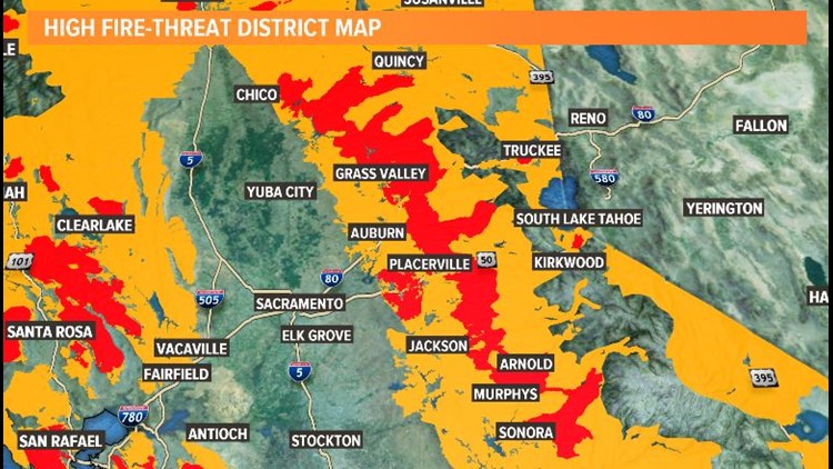
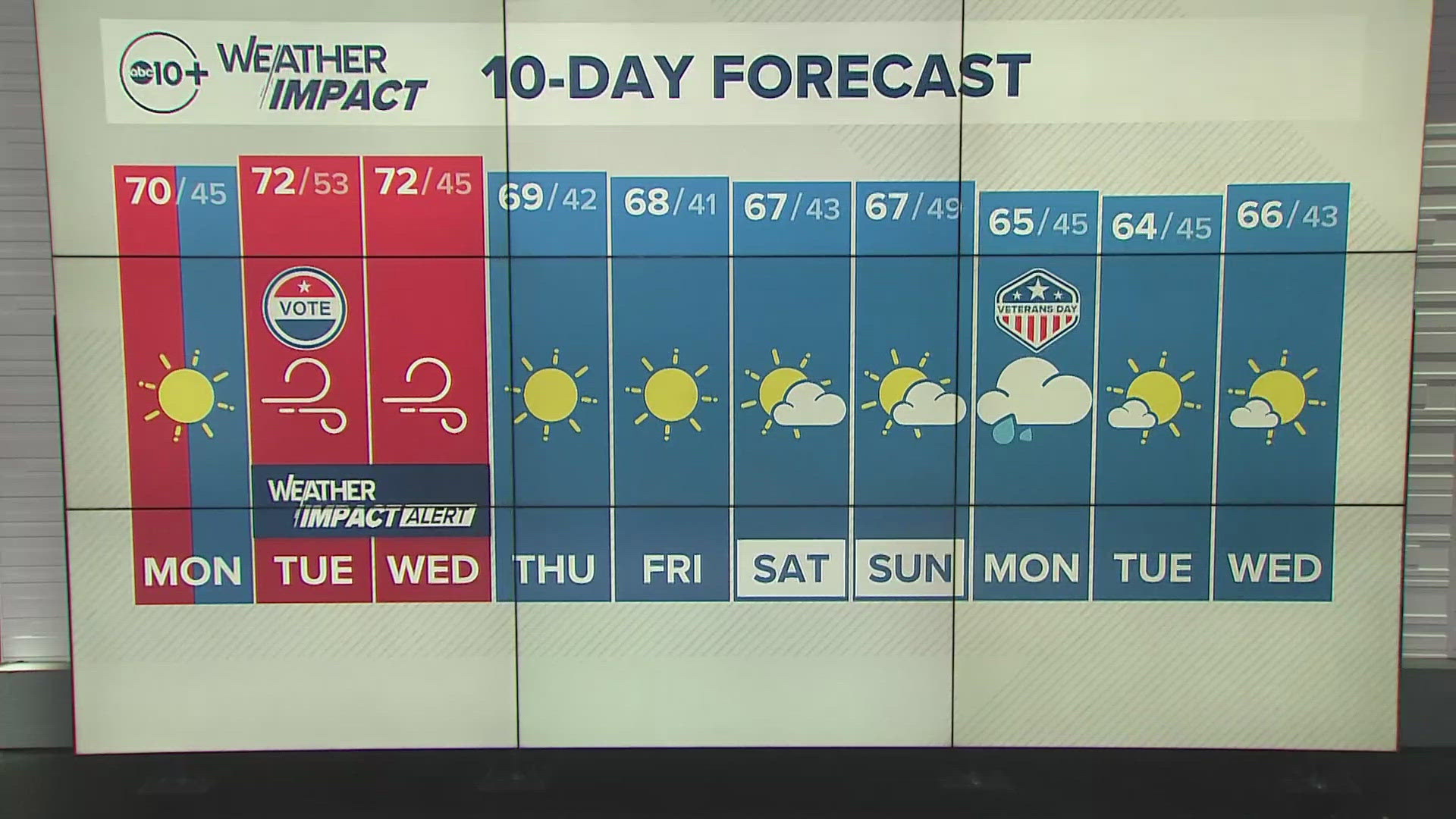
SACRAMENTO, Calif. — Autumn. A time in Northern California with gorgeous leaves, warm air, and dry, windy conditions.
It always seems like there’s a give and take when it comes to the weather. So while you may enjoy the dry weather and the pumpkin patches, fire danger plays a critical part in our climate, especially in the fall months.
High and low pressure systems do this dance every year. The Diablo Winds in Northern California, and the Santa Ana Winds in Southern California, are well known to residents, and although they come in the spring and fall, it’s the fall months that are of biggest concern. These are the months when all grasses and vegetation are at their driest. Any spark could cause a fire. Coupled with the strong winds this time of year, and you've got a recipe for rapid fire spread.
There are three categories of fire risk: elevated, critical, and extreme. So, what makes one potential fire risk more severe than another? The Storm Prediction Center and the National Weather Service work together to assess weather conditions and figure out how those fit into each category.
When there is elevated fire risk, there are sustained winds of 15 mph or greater for at least three hours and the relative humidity of the air must be within five percent of the driest conditions the area can handle.


When there is a critical fire risk, sustained wind gusts must be at least 20 mph or greater and relative humidity is at or below 15% of the driest conditions the area can handle.
When there is a extremely critical fire risk, the highest level of fire risk and concern, then sustained wind gusts have reached 30 mph and relative humidity is at or below 10% humidity. For the most extreme risk of fire danger, it’s typical for the area to be undergoing a drought or major deviations from normal climate.
FREE ABC10 APP:
►Stay In the Know! Sign up now for ABC10's Daily Blend Newsletter


