SACRAMENTO, California —
A series of cold fronts delivered light to moderate rain and snow totals across Northern California on Sunday and Monday.
Precipitation amounts were light on the west side of the valley due to the rain shadow effect, but totals increased towards the foothills and the Sierra. Valley rainfall amounts were generally less than half an inch, which was well forecast by the models.
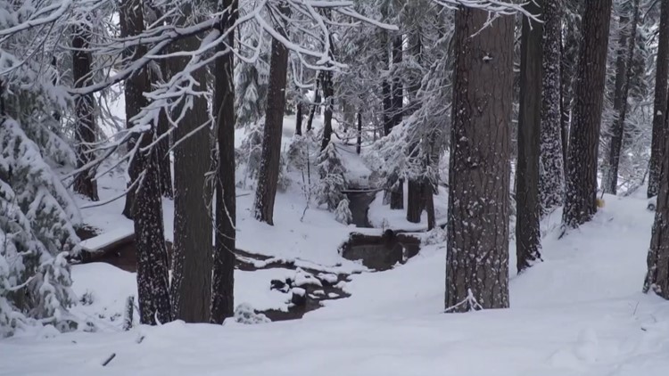
Snow totals were light and snow levels were still relatively high at around 6,000 feet. A few lingering showers are possible on Tuesday in the Sierra as the low-pressure system heads east.
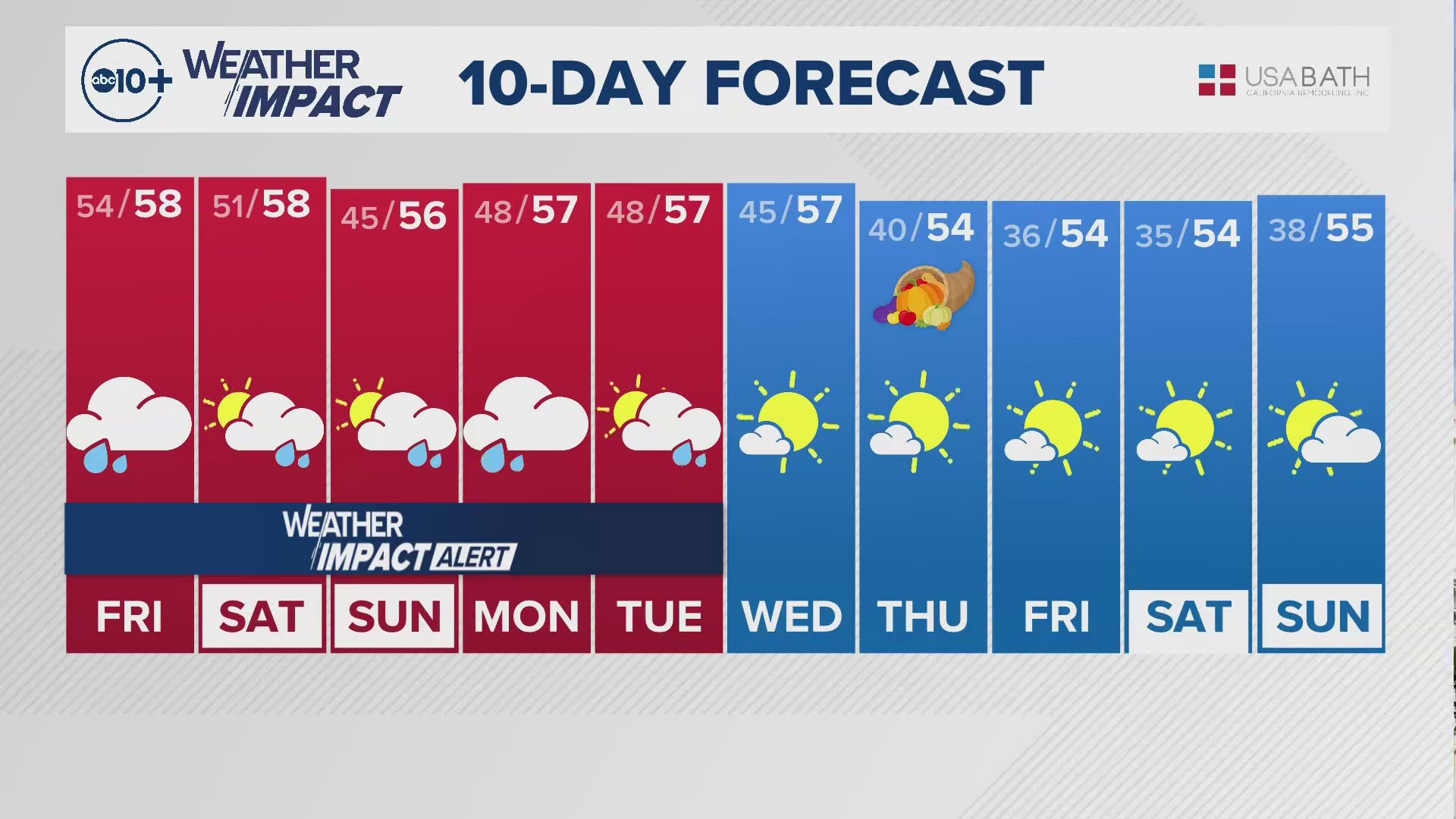
Dry, cool weather is expected the rest of the week with highs in the 60s across the valley and 40s and 50s for the Sierra. Clear skies and light wind will make for some cold mornings as well, with patchy frost possible in the valley the next few nights.
Models are hinting at a potentially potent atmospheric river heading toward California early next week. While there is still a high degree of uncertainty this far out, this event has a good chance of being the first major snowmaker of the season so far.
To see what precipitation totals amounted to in your area, check out this National Weather Service map. Click on observations, check the box that says surface observations and adjust the drop-down options to view precipitation totals.
Area rain totals since Sunday morning
Sacramento Executive: 0.12"
Sacramento International: 0.04"
Auburn: 0.37"
Blue Canyon: 2.59"
Orangevale: 0.47”
Folsom: 0.67"
Roseville: 0.31”
UC Davis: 0.08”
Stockton: 0.07"
Modesto: 0.10”
Woodland: 0.03"
Snow totals since Sunday morning
Sierra Snow Lab: 3.1”
Palisades: 3”
Sugar Bowl: 3"
Mammoth Mountain: 4"
Mt Rose: 2-4"
Bear Valley: 2"
WATCH ALSO:


