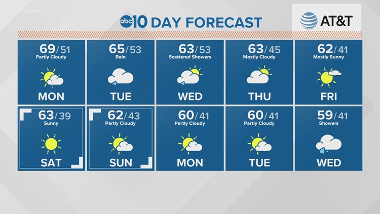
SACRAMENTO, California — Northern California kicked off mid November with a dry, sunny Monday before the weather changed on Tuesday.
Tuesday morning, the winds will kick in for the high Sierra and the east side of the Sierra, with gusts up to 30 mph for Truckee and the Tahoe Basin, with much higher gusts of at least 60 mph over the top of the Sierra.
Clouds will also begin to move in on Tuesday morning in the Valley, with breezy conditions ahead of the heavier rain by the afternoon. Most Valley locations will seen rain move in after the morning commute, between 10 a.m. and 2 p.m.
Some areas wills see enough rain to cause ponding on roads and localized street flooding with leaves clogging drains. Burn areas with higher rain rates may see some mudslides on saturated ground.
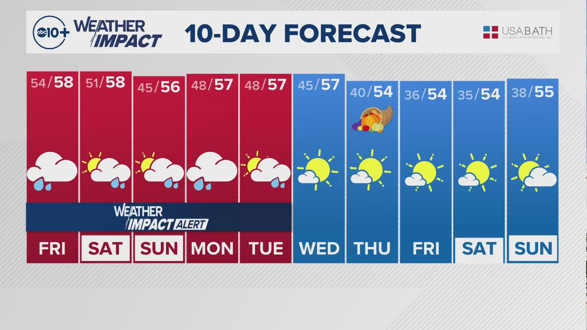
The Valley rain will continue throughout Tuesday, becoming lighter and more scattered by Wednesday afternoon and evening. Temperatures will stay in the low 60s for the Valley for the remainder of the week.
The Sierra is set to experience a warmer storm than last Friday, with higher snow levels. The snow should stick to around 6,500 feet for most of Tuesday and part of Wednesday. This means mostly rain for the Foothills until drivers get to the passes. Snow over the passes will lead to chain controls and whiteout conditions at times. For the Resorts, 2-3 feet of snow is possible between Tuesday and Wednesday.
Valley rain will likely total more than 0.50” between Tuesday and Wednesday. Beyond Wednesday the rest of the week looks dry and mild with temps in the 60s.


