SACRAMENTO, California —
Another warming trend is expected just in time for the weekend across Northern California.
There is more to the weather story rather than just heat this weekend. A surge of moisture associated with the remnants of Tropical Storm Eugene is working its way up to Northern California. As a result, thunderstorms are possible across the higher elevations through the weekend and humidity values will be higher than normal across the region, making it feel a bit muggy at times.
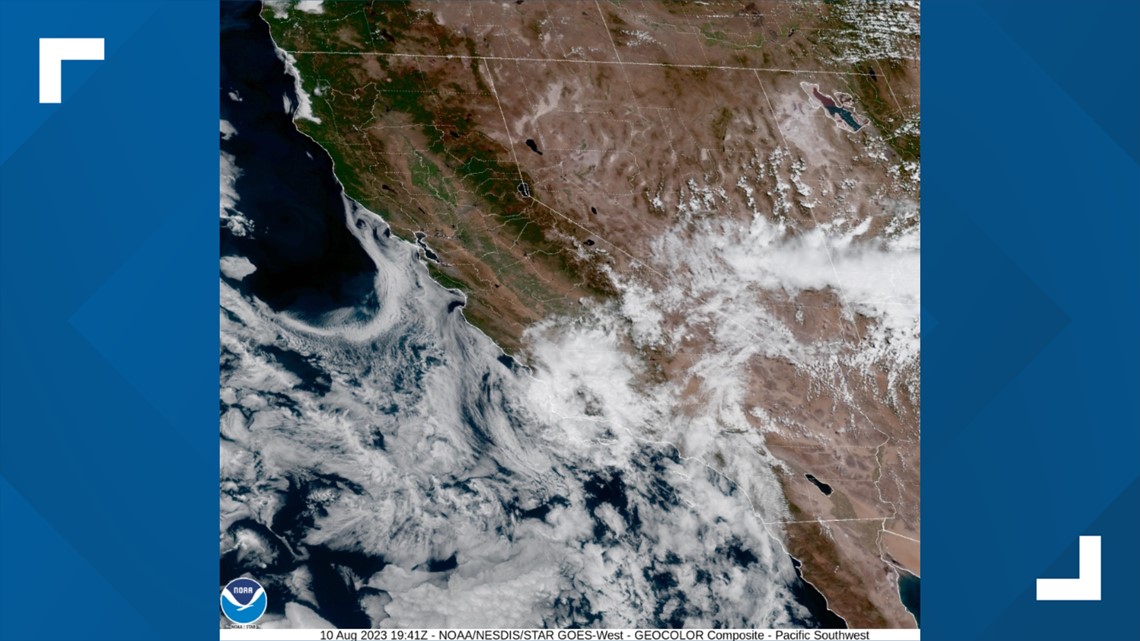
The same remnants have already brought rain to parts of Southern California and the cloud cover associated with the system can be seen on satellite.


In terms of temperature, Northern California was treated to a mild week, with most valley locations seeing high temperatures only in the upper 80s and low 90s. This pattern will continue Thursday and Friday before the warming trend begins on Saturday.
High temperatures will be around average on Saturday for most of the region. Earlier this week, Sacramento’s average high temperature for this time of year dropped below 93, signaling the downward trend that will continue until late December/early January.
Even so, summer-like heat isn't going anywhere anytime soon. By Sunday, high temperatures will be in the upper 90s and will reach 100 in areas further away from the cooling influence of the Delta. In the Sierra, temperatures will push into the 70s and thunderstorms will be possible each day. High temperatures will continue to increase by early next week, peaking on Tuesday in the low to mid 100s in Sacramento.
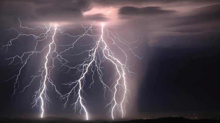
This weekend will feature elevated fire risk due to abundant lightning expected across the Sierra and coastal ranges, mainly above 5,000 feet. There is a possibility that some of these storms could be dry, which describes thunderstorms that produce little or no precipitation at the surface, according to the National Weather Service. Dry lightning risk will be highest further to the north due to lower moisture values.
In the Central Sierra, there is a marginal risk of excessive rainfall. Heavy downpours will raise the chance of flash flooding over steep terrain and burn scars.
The low pressure system will be drawing in moisture from both the former tropical system and the southwest monsoon, so there will hopefully be enough moisture to prevent an extreme dry lightning outbreak similar in nature to that of August 2020.
Above average temperatures are expected to continue through the forecast period, according to the Climate Prediction Center, even though a slight cooldown is expected for the latter half of next week.


