SACRAMENTO, Calif — It has now been a week since the last rain in Sacramento. Sunny skies, cold morning temperatures, patchy fog, and the occasional gusty day have been the main weather stories since the storm door shut.
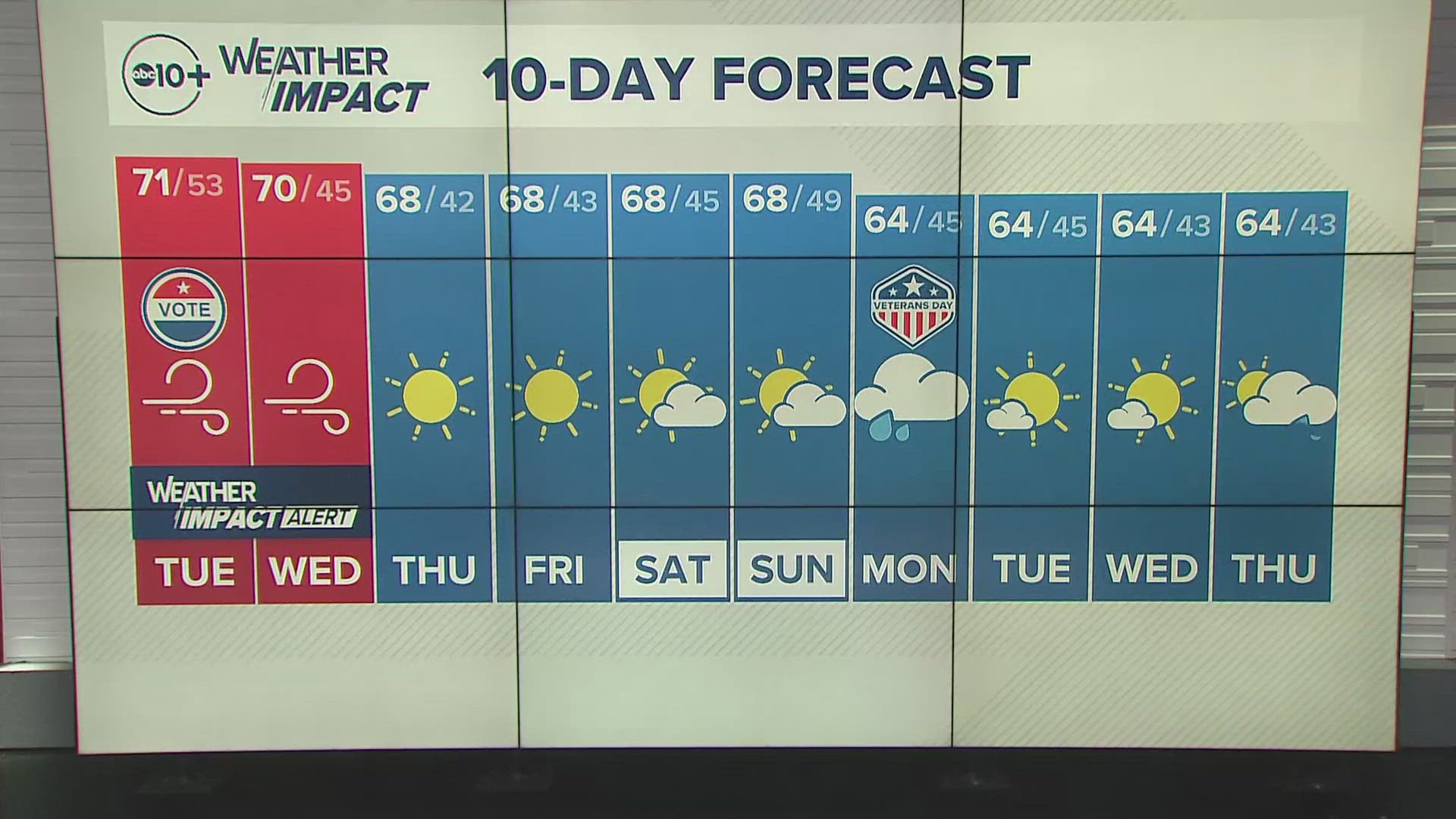
These conditions will continue the rest of the work week. Temperatures in the lower 60s are expected Wednesday and Thursday before a cooling trend starts. Wednesday will be breezy due to the presence of a low pressure system to the east and high pressure to the west. Gusts of 25 mph are possible in the valley and 45 mph across the Sierra crest.
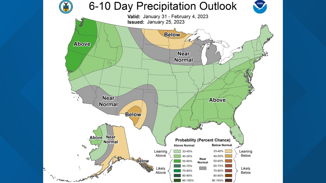
The latest Climate Prediction Center 6-10 and 8-14 day outlooks favor cool and wet conditions for California.


There is model disagreement, but it is possible light rain and snow return on Sunday. For now, it looks like 6-12 inches of snow are likely in the Sierra on Sunday with scattered showers in the valley. This won't be an atmospheric river event. Instead, a low pressure system will dig in to California from the north, bringing along cold air but it will also lack moisture. Therefore, people shouldn't expect more than 0.25" in the valley at most.
Highs in the upper 40s to low 50s are expected by Sunday and even colder temperatures are expected on Monday and Tuesday.
The state is still in good shape regarding water availability. The major reservoirs continue to fill up, the snowpack is still at 218% of average, and soil moisture levels have increased by as much as 35% since November.
WATCH ALSO:


