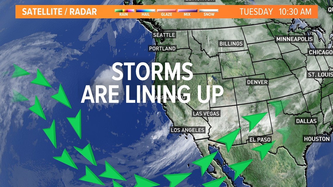
SACRAMENTO, Calif. — One change in the jet stream can change everything and that change is underway, it can deliver many days of rain and snow in our future in Northern California.
The Pacific Northwest has been bearing the brunt of the wet season so far with weeks of strong pounding storms with rain and snow. Northern California has been a spectator until recently and we can expect to be the star of the snow next week as models are indicating.
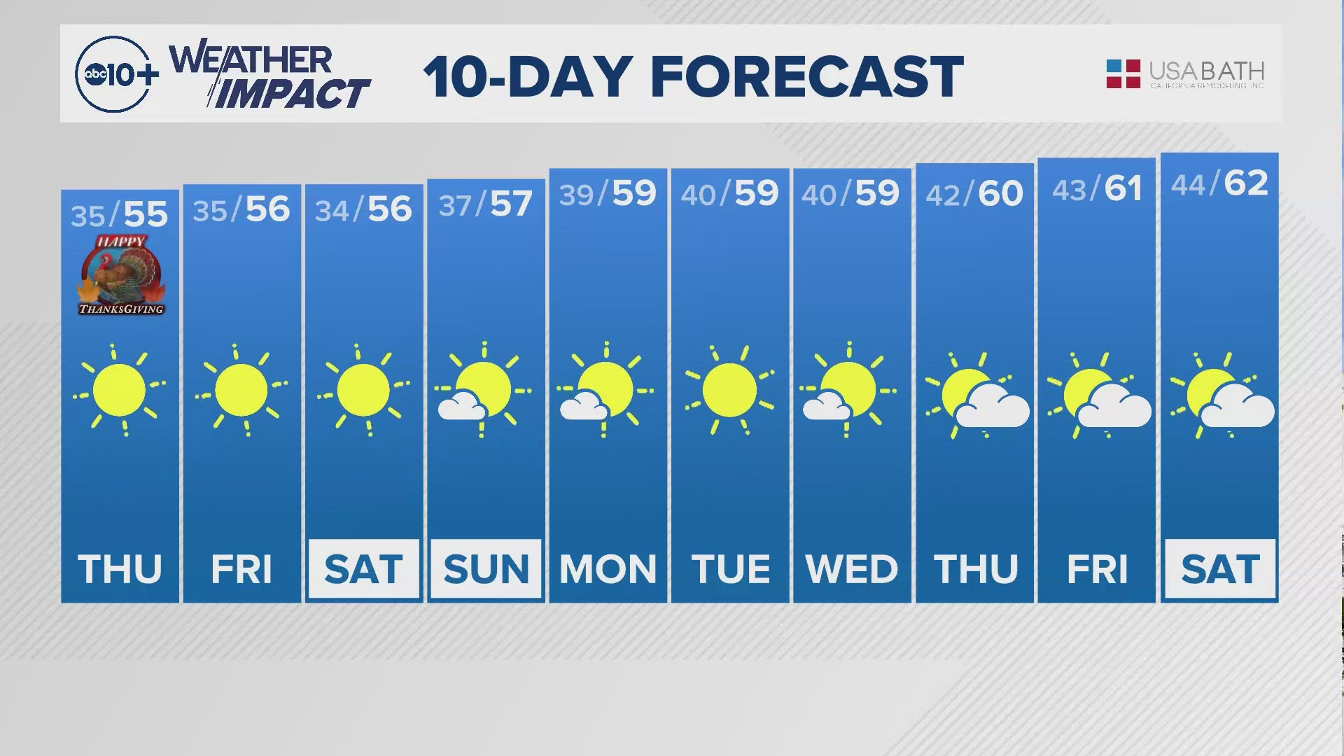
From Wednesday night into Thursday, a weak storm will bring some light to moderate rain to the air but also much colder air. This cold air will bring mountain snow to the passes then much lower to about 4,000 ft. This means the Tahoe Basin will see some light snow and a sight for sore eyes trying to get into the winter spirit. Resorts are patiently waiting for snow to open and they have a chance to do that this weekend if the storm lives up to expected 6-10" of fresh snow on top of a hungry man-made base.
Cold mornings will follow Friday and Saturday with single digits in the Sierra and frost for the Valley.


Next week becomes very interesting as the storms keep coming. Beginning Sunday night, a series of wet and cold storms are forecasted to move in bringing inches of snow and feet of fresh snow. As of Tuesday morning, the forecast calls for rain and snow chances every day next week with some embedded stronger storms and sustained wet weather.
It is difficult to pin down exact timing and totals about a week out, but several days of computer model forecasting indicates the same general wet and cold forecast. It is helpful to look ahead at your outdoor and travel plans for this weekend and next week to see how weather will affect them. By the end of this cycle, many locations will be looking much different with more creeks and streams running fast and cold and plenty of snowpack to build on for the rest of the season.
If there is a change in the jet stream, this rosy scenario falls apart but for now, there is a chance for winter weather coming back.


