SACRAMENTO, Calif — More wet weather is on the way to Northern California Wednesday as the pattern of weak, warmer storms rolls through the region.
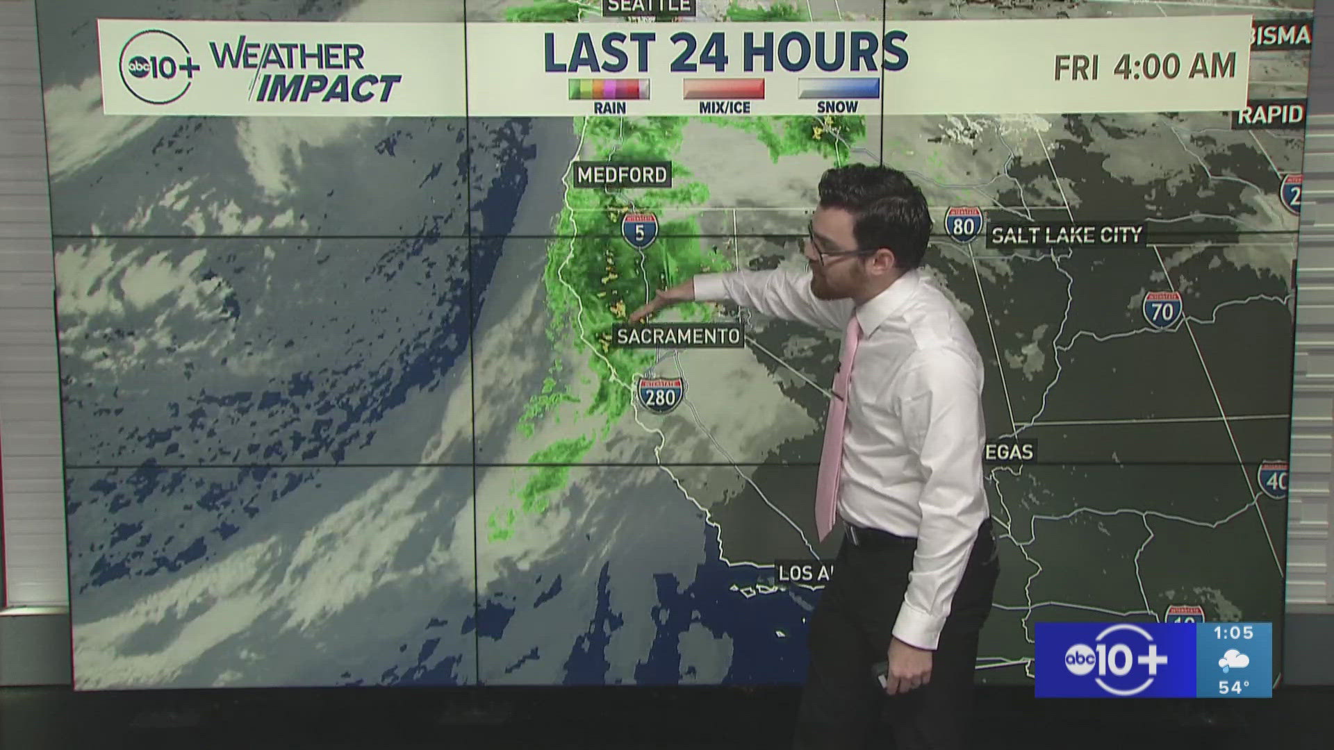
Although the weekend storm dropped 1-4" across the valley and even more than that in the foothills, the snow line was too high to drop heavy snow below 6,000 feet. The statewide snowpack is only at 55% of average as this slow start to winter continues.
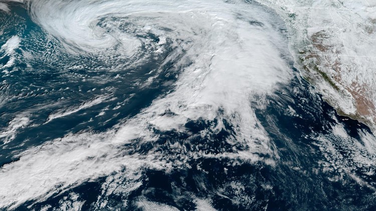
A weak low pressure system spinning in the Pacific is to thank for the precipitation. The center of the low pressure system will still be hundreds of miles away from Northern California but the attendant cold front will create rain and snow showers beginning Wednesday morning.
A line of showers will arrive to the Sacramento Valley early Wednesday morning. Expect a wet commute Wednesday morning as the main band of rain impacts the region from 7-10 a.m. Rain will continue through the late morning hours and then will become more showery the rest of the day as the cold front pushes east into the Sierra.
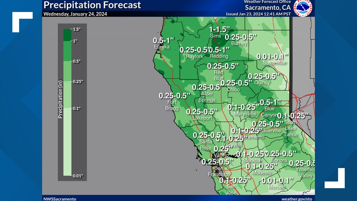
In total, most valley locations can expect to see 0.1-0.25" Wednesday with higher totals north of Marysville. About 0.5-1.5" is expected in the foothills.


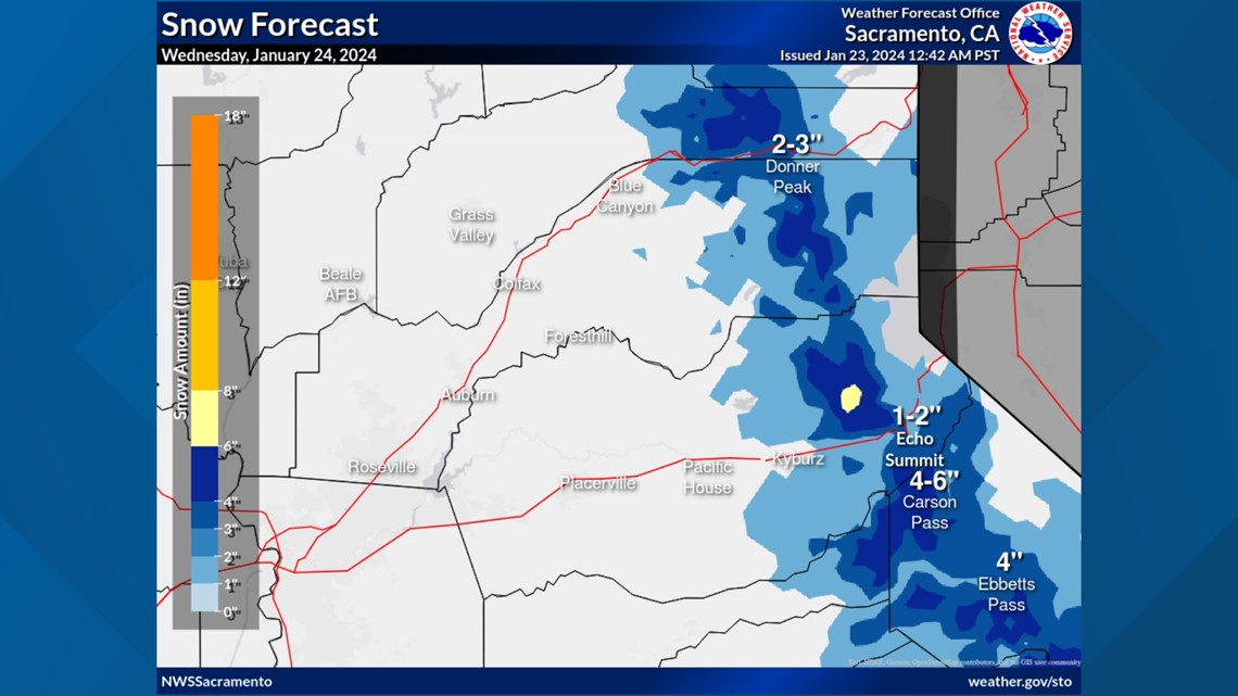
As for snow, this will be a low impact event with the snowline hovering in the 5,000-6,000 foot range and 1-6" expected. Snow will continue through the early hours of Thursday but will be light throughout Wednesday and Thursday morning.


High temperatures will be above average throughout the week, except for Wednesday as the front pushes through. High temperatures will be in the mid to upper 50s Wednesday, which is right around average for this time of year but will climb into the low 60s again by Thursday. Sierra high temperatures will be in the 30s and 40s this week.
Looking further ahead, atmospheric river activity is expected to ramp up in early February thanks to the jet stream slamming into the West Coast. Expect wet weather in early February across the state of California.


