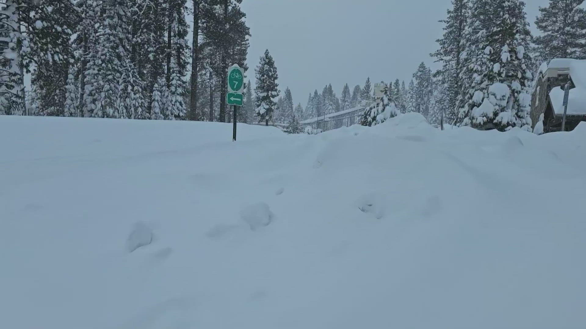
CALIFORNIA, USA — A powerful blizzard that closed highways and ski resorts has mostly moved through the Sierra Nevada by early Monday but more snow is on the way for Northern California mountains.
Snowfall totals are in the six to eight-foot range across the passes and ski resorts, although, with the high winds, the snow gets blown around and can result in wind-sheltered areas getting less and wind-exposed areas getting more.
Interstate 80 from Colfax to the Nevada border was still shut down late Sunday, and reopened Monday morning to passenger vehicles, the California Highway Patrol said. Caltrans said semi-trucks are expected to be released around 2 p.m.
According to Caltrans, eight of its 10 snow blowers dedicated to clearing roadways in the Kingvale area were down Sunday due to complications related to the blizzard. At its Auburn station, only six of its 20 snow blowers were in service.
CHP warned motorists that tire chains are required on routes through the mountains, where more than 7 feet of snow fell over the weekend. An additional foot of snow is expected through Wednesday morning.
A Winter Storm Warning is in effect now for areas above 2,000ft and below 6,500ft and continues until 4a Wednesday. When the Blizzard Warning expires, the high Sierra will be included in this Winter Storm Warning.
Be prepared for travel delays, chain controls and possible road closures.
STORM RESOURCES:
► FORECAST DETAILS | Check out our hourly forecast and radar pages
► GET WEATHER ALERTS TO YOUR PHONE | Download the free ABC10 mobile app
► GO DEEPER | Stream in-depth weather forecasts with the free ABC10+ streaming app
► WEATHER IN YOUR EMAIL | Sign up for our daily newsletter
► MEET THE WEATHER TEAM | Chief Meteorologist Monica Woods, Carley Gomez, Brenden Mincheff, Rob Carlmark
Power Outages
Liberty Utilities: Outage Map
PG&E: Outage Map
Roseville Electric Utility: Outage Map
SMUD: Outage Map
Traffic
Here are the latest road conditions and an interactive Caltrans map.
Interstate 5
- A high wind advisory is in effect over the Elkhorn Bridge & over the Elkhorn Causeway /north of Sacramento/ Yolo County
Interstate 80
- I-80 has reopened in both directions to passenger vehicles. Semi-trucks are expected to be released around 2 p.m., according to Caltrans
Highway 50
- Chains are required from 1 mi west of Kyburz to Meyers in El Dorado County, according to Caltrans
- Eastbound trucks are being screened at Twin Bridges in El Dorado County
- Westbound trucks are being screened at Meyers in El Dorado County
TRAFFIC
Sacramento region traffic map:
Radar:
Radar map from ABC10.com. Adjust the layers with a filter on the bottom right corner to show rain, snow, wind and current temperatures:
Watch more on ABC10 | Sierra Blizzard Update | When California's major snow storm comes to an end


