SOUTH LAKE TAHOE, Calif — Click HERE for Friday's updates on the Caldor Fire.
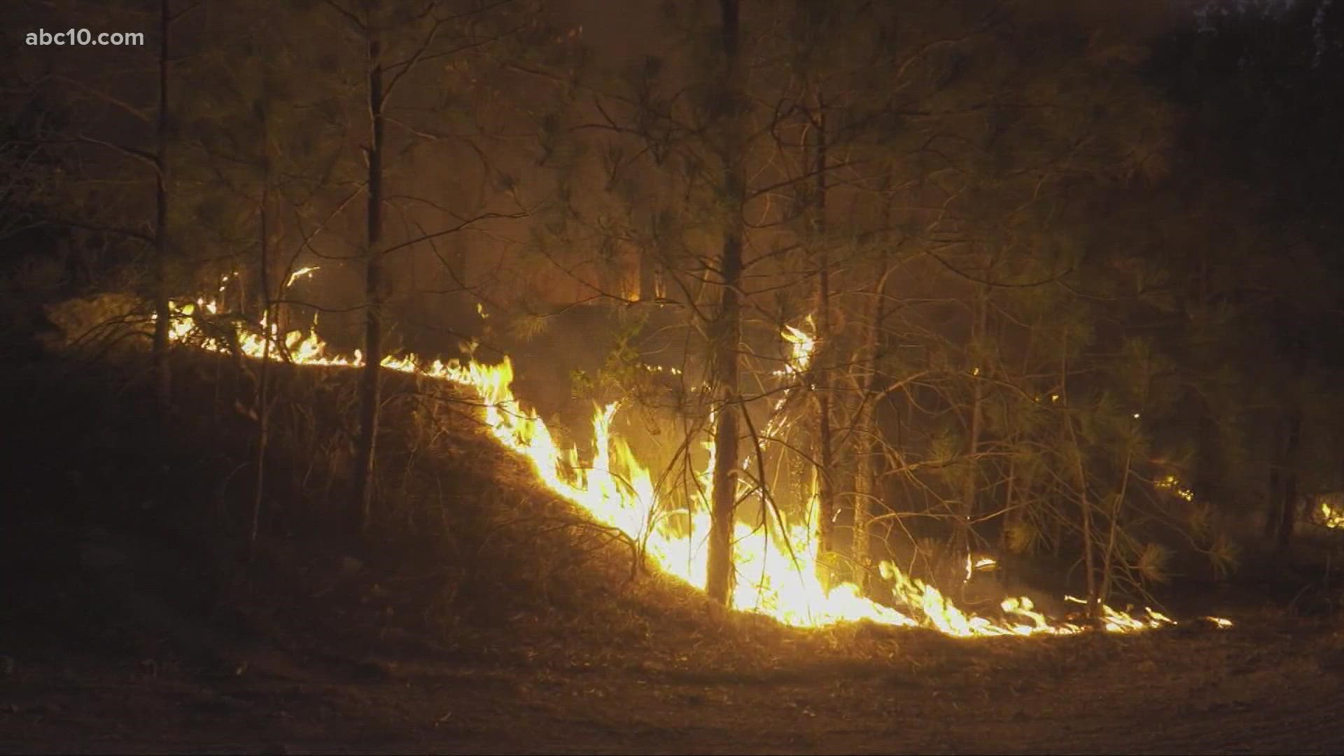
As the Caldor Fire continues to burn, the chances of it reaching the South Lake Tahoe area continue to become more of a reality.
Wind in the area of the fire is expected to shift direction today, moving more to the east. This wind may push the fire in a different direction, but the fire will follow fuel and terrain, as well.
In response to the fire, the city manager for South Lake Tahoe issued a local emergency proclamation. The action will let them leverage federal and state resources as the city responds to the fire. It does not indicate any change to evacuation status, city officials said.
In a 5 p.m. update on Thursday, fire officials reiterated that there was an evacuation warning in the Tahoe Basin after expanded evacuation warnings and orders were issued Thursday. The action was taken after increased fire activity Wednesday night. At the head of the fire in the east, spot fires stayed in the main dozer line ahead of the fire. The evacuations and evacuation warnings were part of the plan if the fire threatened the dozer line, officials said.
"It's not something that's a big worry to us right now. We're just doing this precautionary to make sure we're staying ahead of the game," said Operations Section Chief Cody Bogan.
In a 7 p.m. incident update from Cal Fire, firefighters said the main spread was on the northeast side along Highway 50 and the community of Strawberry.
The fire has grown to 139,510 acres and is 12% contained. The cause of the fire is still unknown. Highway 50 from Sly Park to Meyers remains closed to traffic. Two people have been injured and over 600 structures have been destroyed.
The Sierra at Tahoe ski area is nearly four miles northeast of the fire, as of Thursday morning, and may be threatened at times over the next several days depending on how the fire behaves and moves.
As the fire continues to burn, the usually scenic Sierra-at-Tahoe Resort on Highway 50 is shrouded in heavy smoke with ash from the Caldor Fire falling like snowflakes. Firefighters and staff could be seen working to prevent the worst-case scenario.
“I know that there’s a lot of love for this resort, and I know that a lot of people are going to fight real hard to make sure that doesn’t happen,” said General Manager John Rice.
Rice said he was hopeful that efforts to protect the buildings would be successful, with many parking lots and slopes that will act as a natural fire break.
“We’ve done just about everything we can do to be as prepared as we can be,” Rice said.
Evacuations and Road Closures
Click HERE for in-depth evacuation orders and warnings in El Dorado County. For evacuation orders and warnings in Amador County, click HERE for the Amador County Sheriff's Facebook page and HERE for their website. For current state highway/route information visit roads.dot.ca.gov.
Evacuation centers
- Shelter Green Valley Community Church, Placerville, CA
- Shelter- FULL // Cameron Park CSD, Cameron Park, CA
- Temporary Evacuation Point // Amador County Fairgrounds, Plymouth, CA
- Evelynn Bishop Hall, Ione, CA
- Rolling Hills Church, El Dorado Hills, CA
- Douglas County Community Center, Gardnerville, NV
Animal Evacuation Centers:
- El Dorado County Animal Services (small animals), Diamond Springs, CA. For animal evacuation questions or assistance call (530) 621-5795
- Saureel Vineyards (large animals)- FULL, Placerville, CA
- Amador County Fairgrounds (large animal)- for Amador County residents only, Plymouth, CA
Accounts to follow
Evacuation Maps
A map of evacuations from the El Dorado County Sheriff's Office is available below.
Wildfire map
Click here for a map of the Caldor Fire.
Structure Damage Map
A map of structural damage from the El Dorado County Sheriff's Office is available below.
►Stay in the know! Sign up now for the Daily Blend Newsletter
What questions do you have about the latest wildfires? If you're impacted by the wildfires, what would you like to know? Text the ABC10 team at (916) 321-3310.
Wildfire Preps
If you live in a wildfire-prone zone, Cal Fire suggests creating a defensible space around your home. Defensible space is an area around a building in which vegetation and other debris are completely cleared. At least 100 feet is recommended.
The Department of Homeland Security suggests assembling an emergency kit that has important documents, N95 respirator masks, supplies to grab with you if you’re forced to leave at a moment’s notice. The agency also suggests signing up for local warning system notifications and know your community’s evacuation plans best to prepare yourself and your family in cases of wildfires.
Some counties use Nixle alerts to update residents on severe weather, wildfires, and other news. To sign up, visit www.nixle.com or text your zip code to 888777 to start receiving alerts.
PG&E customers can also subscribe to alerts via text, email, or phone call. If you're a PG&E customer, visit the Profile & Alerts section of your account to register.
Watch more from ABC10
Verify | Are Plumas County residents who had to evacuate due to Dixie Fire eligible for FEMA aid?

