NEVADA CITY, Calif. — Wednesday's updates are at /article/news/local/wildfire/jones-fire-august-19-2020/103-ab0c52bd-dc60-4a57-8077-677800ece093
UPDATE 7:30 p.m.:
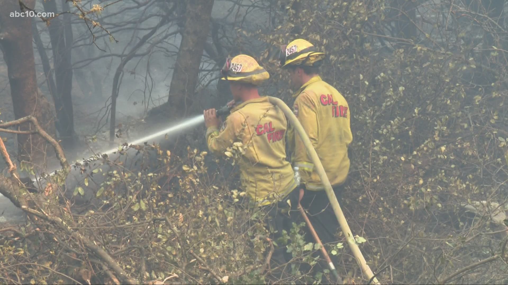
New numbers from the Jones Fire burning in Nevada County shows firefighters are having some success.
According to Nevada County OES, the Jones Fire has been held to 650 acres burned and is now 15% contained.
All current evacuation orders are still in effect.
UPDATE 2:45 p.m.:
Nevada County OES tweeted Tuesday afternoon that new mandatory evacuation orders have been issued for the areas north of Highway 49 from Cement Hill Road west to Independence Trail.
Off Woolman Lane there’s Not much left of the Sierra Friends Center. Homes, barns and greenhouses lost to the Jones fire that is spitting ash in to the air. Just a mile down the road Scott Machado is assessing the damage from a spark driven fire on the property that’s been in his family for more than 50 years. “You could see smoke coming up the hill and that was it,” Says Machado.
Cal Fire said Monday that the fire started as one of 14 lightning-based fires that happened due to overnight storms. Monday night’s thunder and lightning woke up Machado and his brother. He says flashes landed down the ravine. It wasn’t long before they smelt smoke and the fire spread hundred of acres up the ravine.
“Nothing we could do, or my brother. Firetruck came and we left it in their hands,” says Machado.
UPDATE: 11 a.m.:
SR-49 in Nevada County will be closed between Newtown and Tyler Foote through Wednesday, according to Caltrans District 3.
Original story:
The Jones Fire, burning near Nevada City has destroyed at least four homes, the Nevada County Office of Emergency Services said Tuesday morning.
The wildfire has reached 550 acres burning in the South Yuba River Canyon area, west of Nevada City. Cal Fire says the wildfire is 5% contained.
The Nevada County Sheriff's Office says that 4,000 residents are under evacuation orders. Another 11,600 residents are under evacuation warnings.
Cal Fire said Monday that the fire started as one of 14 lightning-based fires that happened early Monday morning due to overnight storms.
Click HERE for a map of the evacuation areas.
In a Facebook post Monday afternoon, the Nevada County Sheriff's Office said mandatory evacuations were underway for the area of Jones Bar Road north of Woolman. Roads within the evacuated areas include:
- Jones Bar Rd
- Nishinam Gulch Rd
- Yuba Crest Dr
- McKitrick Ranch Rd
- Pau Hana Wy
- Little Bear Lane
- Hoot Owl Rd
- Arctic Owl Rd
- Willo Wisp Court
- Fenton Wy
- Woolman Lane
- Toller Ridge Court
- Rush Creek Wy
- Lost Ranch Way
- Owl Creek Road
- Yuba Ridge Drive
- Red Tail Hawk Drive
- Kodama road
- Baron Owl Lane
- Denmark Court
- Holland Drive
- Carli
- Crooked Arrow
- John Barleycorn
- Shoshoni Trail
- Cavanaugh
- Lowden Lane
- Apache Trail
- Prince Rainer
Evacuations orders are also in place for the North Side of Newton Road to include:
- Lois Lane
- Monte Vista
- Jones Bar
- Empress Cross
- Personeni
- Elizabeth
Fire location map from ESRI:
Live Waze traffic map:
EVACUATION CENTERS
According to the Nevada County Office of Emergency Services, a temporary evacuation point has been setup at Magnolia School located at 22431 Kingston Lane in Grass Valley. The school will function as a place to triage residents while working to find overnight sheltering with assistance from the American Red Cross, officials said.
A temporary evacuation center has been set up at Ready Springs School in Penn Valley. People with animals can take them to the Nevada County Fairgrounds. Other evacuation points include Cottage Hill Elementary School in Grass Valley and Alder Creek Middle School in Truckee.
ABC10's Kevin John was near the fire Tuesday morning:
Monday night update:

