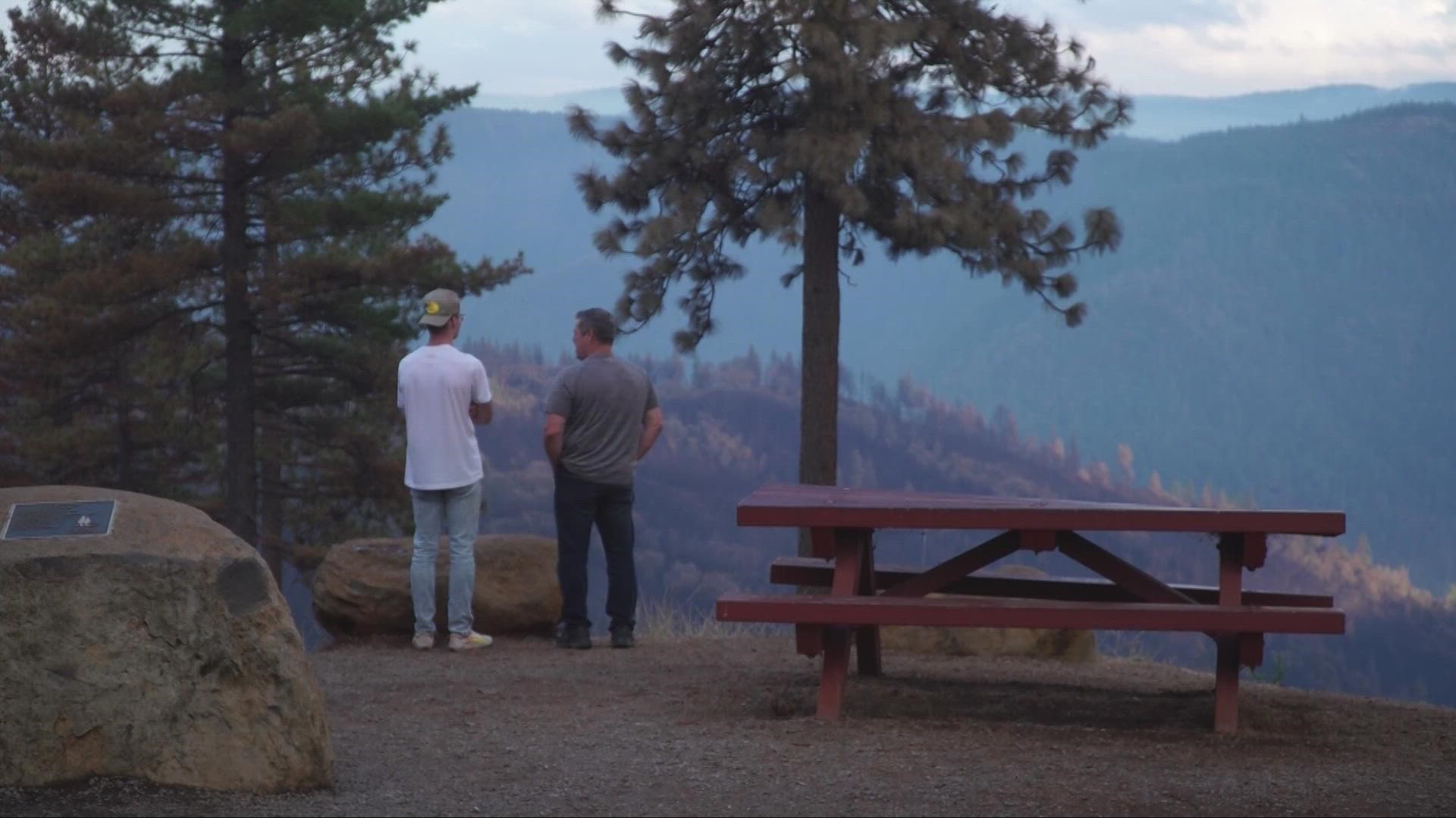
FORESTHILL, Calif. — Rain, cooler temperatures and higher humidity kept the Mosquito Fire from growing throughout the day.
Containment is almost near half, standing at 47%. Crews were able to boost the numbers by completing several sections of fire line along the eastern flank of the fire.
Due to the containment gains and fire conditions, more evacuations for the fire were downgraded. It means that for many evacuees normalcy is a little bit closer. 78 structures have been destroyed in the Mosquito Fire, meaning some evacuees will be returning to heartbreak but others are still hopeful.
"We’re so lucky... I can’t even begin to describe what all they did to protect these homes," said Judy Hall, who has lived in Michigan Bluff for nearly 40 years.
Crews were able to save her historic cabin, which was built in 1858. Hall is one of the thousands who've been able to come back home after the Mosquito Fire sparked.
Daryl Moore, of Todd Valley, called the experience an emotional rollercoaster.
"These guys did an amazing job, just unbelievable people. That’s all you can say - just, thankful," Moore said.
However as the smoke clears, some evacuees will have to return to bad news.
"For our close neighbors, it’s a tough one. I think they’re going to plan on moving away maybe, but I hope they change their mind," Hall said.
For now, many just have gratitude as they finally home.
The list of evacuation order downgrades for Placer County Tuesday can be viewed below.
- Zone 6A - Corner of Elliott Ranch Rd and Foresthill Rd
- Zone 21A - East of Humbug Ridge, west of Westville, south of the North Fork of the American River, north of Foresthill Rd
- Zone 25A - East of Humbug Ridge, Sawtooth Ridge down to the North Fork of the American River
- Zones now open with no restrictions:
- Zone 2- Baker Ranch MHP
- Zone 5- Black Oak Ridge Rd, Blackhawk Ln, Ebbert Ranch Rd, Old Ebberts Ranch Rd
- Zone 6B- Finning Mill Rd to Sugar Pine Rd to Elliot Ranch Rd to Foresthill Rd, Big Reservoir Rd, Giant Gap Rd, Hollow Log Rd, Prospect Rd, NF-10
- Zone 21B- East of Sugar Pine Reservoir, west of Humbug Ridge, south of the North Fork of the American River, north of Elliott Ranch Rd
- Zone 25B- West of Humbug Ridge, Sawtooth Ridge down to the North Fork of the American River
Please enter your address into our live map to view the current status of your zone. Placer County released a map showing specific damage caused by the fire. El Dorado County also released a map showing specific damage caused by the fire.
► Scroll down for evacuation maps and other fire resources.
PHOTOS: Scenes from the Mosquito Fire
GO DEEPER: Pyrocumulus: What is it and how does it form?
STAY HEALTHY: How to check the air quality where you live
Stay Informed
Live Evacuation Maps
Placer County Sheriff's Office evacuation map (You need to click the "I Understand" box to use the map):
El Dorado County Sheriff's Office evacuation map (You need to click the "I Understand" box to use the map):
STAY INFORMED WITH ABC10:
► ABC10 In Your Inbox: Sign up now for our daily newsletter for local headlines, weather, tips and even something to make you smile.
► ABC10 On Demand: Get access to our local news, live programming and weather with the free ABC10 app for Roku and Amazon Fire TV.
Evacuation Centers
Evacuation centers:
- Rocklin: Sierra College at 5100 Sierra College Blvd
- Cameron Park: Cameron Park Services District at 2502 Country Club Drive
- Overnight shelter, meals, showers, limited health services, and parking for trailers will be provided. Animals in crates and carriers will be accepted.
- Placerville: Green Valley Community Church at 3500 Missouri Flat Rd.
- No Large animals or no birds. Limited RV parking and no hookups
For large and small animals:
- Gold Country Fairgrounds, 209 Fairgate Road, Auburn, California (large & small animals, livestock ok)
- Diamond Springs Shelter, 6435 Capitol Avenue, Diamond Springs, California (small animals only)
- Rancho Murieta Equestrian Center: call 916-985-7334 for information (equines only)
- Flying M Ranch, 5421 Buck Mountain Road, Placerville, California (large animals only)
Fire Map
This map from the National Interagency Fire Center shows fire activity (this may take a few seconds to load):
Watch more on ABC10 | California Wildfires: Flooding, mudslide worries linger over Mosquito Fire burn scar


