SACRAMENTO, Calif —
A cold winter storm pushed through the state beginning Tuesday night with some snow still falling across potions of the Sierra on Wednesday.
The winter has been off to a slow start in terms of snowfall for the Sierra. On Tuesday, the Department of Water Resources conducted their first snow survey at Phillips Station, which is just one of 260 snow survey stations in the state. DWR measured only 7.5” of snow on the ground, which equates to 30% of average to date. The statewide percent of average was even lower, clocking in at 25% of average.
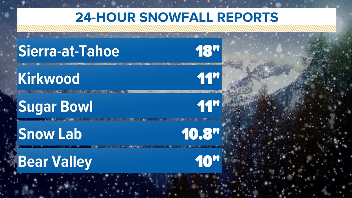
Heavy snow fell in the Sierra Tuesday night and totals ranged from about a foot along Interstate 80 and up to 18” further south. 3-10" fell in the Lake Tahoe area. These totals have pushed the statewide percent of average up to 33%.


The Central Sierra Snow Lab, one of the longest running snow measurement sites in the world, received 10.8” of snow from this first of two storms expected this week. Even with nearly a foot of fresh snowfall, the percent of average at the snow lab is only 38%.
However, the total precipitation percent of average (combining both rain and snow totals) is at 72% of average due to the warm storm systems in December that produced rain instead of snow at high elevations.
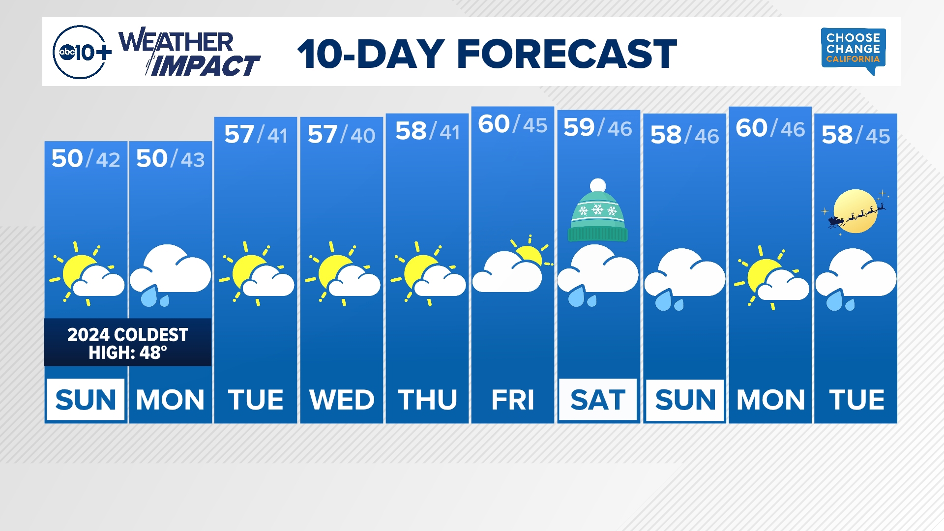
The next storm system is poised to move into Northern California on Saturday. It will be similar in strength to the first one but even colder with lower snow levels expected.
Even with the storms this week, the snowpack will continue to lag behind historical average. Although most reservoirs in the state remain above average for this time of year, much more snow is needed this winter to keep those reservoirs stocked heading into next summer and beyond.
WATCH ALSO:


