CALIFORNIA, USA — Monday has all the ingredients to be an impactful, severe weather day. A powerful Pacific storm will bring an increased risk of multiple weather hazards.
Heavy rain will become more showery Monday morning. Skies will partially clear helping to further destabilize the already unstable atmosphere.
Following the main band of precipitation through Monday morning, scattered showers will continue through Wednesday thanks to the low pressure parked off the coast.
A Flood Watch went into effect across the valley on Sunday afternoon and continues until Wednesday morning.
People should also be aware of possible roadway flooding and the potential for mudslides or rock slides in the foothills, according to NWS.
Officials are expecting heavy snow and snow accumulations of one to two feet above 5,500 feet, with three to four feet possible at the highest peaks. Chain controls and road closures are possible through Wednesday.
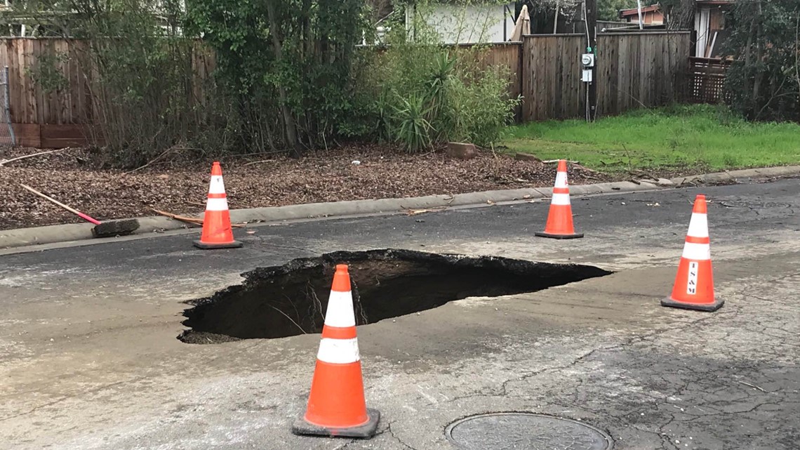
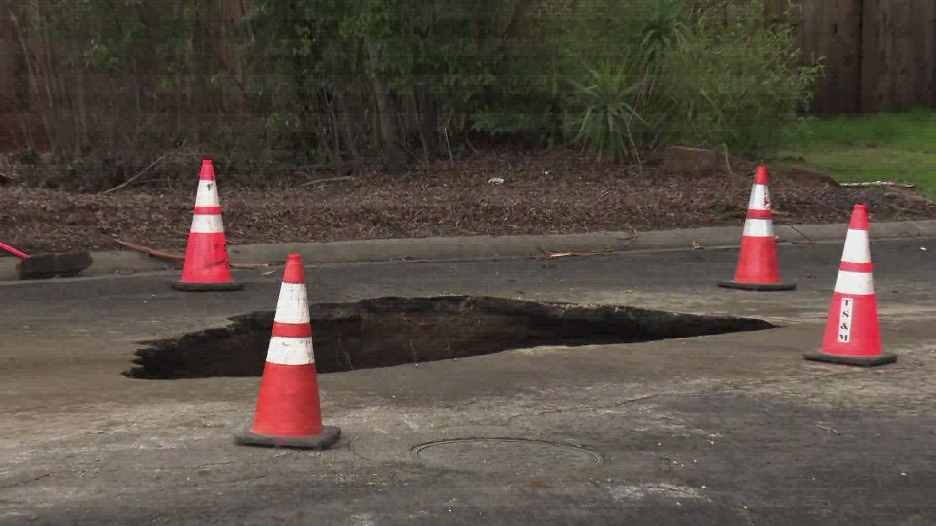
Sacramento Sinkhole
A Sacramento road is closed after a sinkhole in the South Land Park neighborhood, Monday. Part of Theo Way is closed after a sinkhole appeared in the middle of a road in a residential area. The road is closed and multiple cones are surrounding the sinkhole.


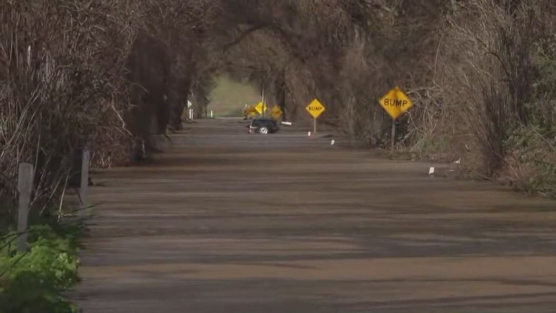
Sloughhouse Flooding
Fire crews rescued two people trapped on top of their vehicle in standing water in Sacramento County Monday morning. The Sacramento Metropolitan Fire District says it happened on Kiefer Boulevard at Jackson Road in Sloughhouse.


Traffic
Here are the latest road conditions and an interactive Caltrans map.
Interstate 80
- Eastbound I-80: Chain controls from Kingvale in Placer County to the Donner Lake Interchange in Nevada County, according to Caltrans.
- Westbound I-80: Chain controls from the Donner Lake Interchange in Nevada County to 4.7 miles west of Rainbow in Placer County, according to Caltrans.
- A high wind advisory is in effect from the Solano/Yolo County Line to the Yolo/Sacramento County Line.
Highway 50
- No chain controls as of 1:00 p.m., according to Caltrans.
Interstate 5
- A high wind advisory is in effect from the Junction of I-580 to the Junction of I-205 in San Joaquin County, according to Caltrans.
Radar Map
Radar map from ABC10.com. Adjust the layers with a filter on the bottom right corner to show rain, snow, wind and current temperatures:
STORM RESOURCES:
► FORECAST DETAILS | Check out our hourly forecast and radar pages
► GET WEATHER ALERTS TO YOUR PHONE | Download the ABC10 mobile app
► WEATHER IN YOUR EMAIL | Sign up for our daily newsletter
ACCOUNTS TO FOLLOW:
Watch more on ABC10 | California Weather Update: Tornado risk, flooding and dangerous Sierra snowstorm


