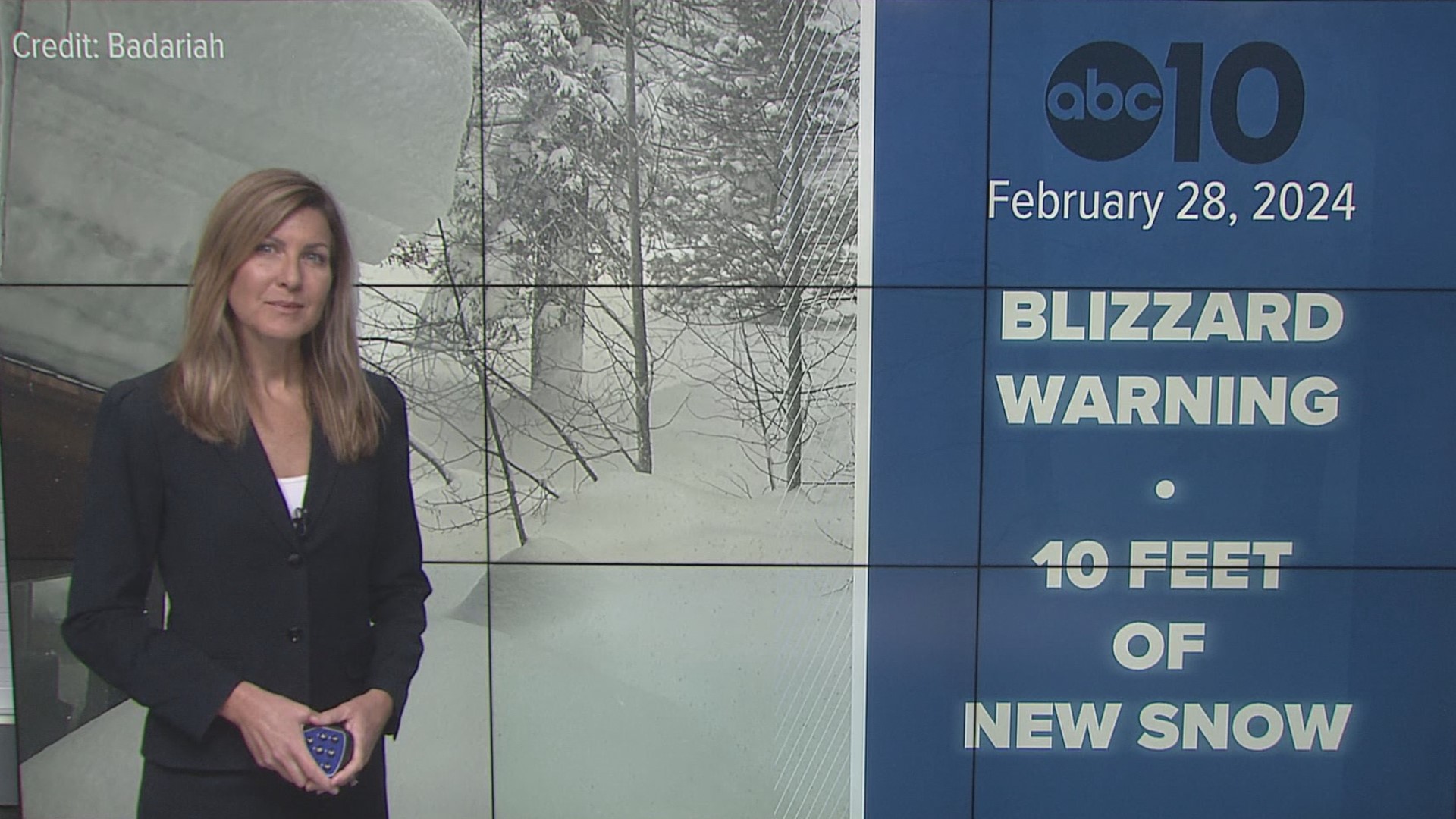
SACRAMENTO, Calif. — Much of the Sierra Nevada in California is under a blizzard warning as a storm that the forecast calls for being the strongest of the season makes its way into the region.
As much as 10 feet of snow is possible in the mountains around Lake Tahoe by the weekend.
Forecasters say widespread blowing snow with winds gusting up to 100 mph over Sierra ridgetops will create blizzard conditions with white-out conditions and near-zero visibility.
Chain controls were ordered Thursday on Interstate 80 north of Lake Tahoe. A stretch of the highway was temporarily closed while crews cleared the wreckage of a semi-trailer truck that overturned near Truckee.
Rain and thunderstorms are expected in the Sacramento Valley.
WEATHER MAPS
Radar map from ABC10.com. Adjust the layers with a filter on the bottom right corner to show rain, snow, wind and current temperatures:
STORM RESOURCES:
► RESOURCES | Helpful information and emergency resources to get you through this storm
► FORECAST DETAILS | Check out our hourly forecast and radar pages.
► GET WEATHER ALERTS TO YOUR PHONE | Download the ABC10 mobile app
► WEATHER IN YOUR EMAIL | Sign up for the ABC10 Today newsletter
► GO DEEPER | Stream in-depth weather forecasts on ABC10+
► MEET THE WEATHER TEAM | Chief Meteorologist Monica Woods, Carley Gomez, Brenden Mincheff, Rob Carlmark
National Weather Service's Sacramento radar:
POWER OUTAGES
PG&E's outage map is HERE.
Liberty's outage center can be found HERE.
TRAFFIC
Sacramento region traffic map:
Live map showing traffic conditions along Interstate 80, Highway 50, Highway 89 around Lake Tahoe and the Sierra Mountains.
Snow Park locations are identified with purple markers.
Sacramento Valley traffic from Waze (zoom in to where you want to go):
Click HERE for more ABC10 weather maps.
WATCH MORE: Megaflood: How the Sacramento region is preparing for potentially catastrophic flooding.


