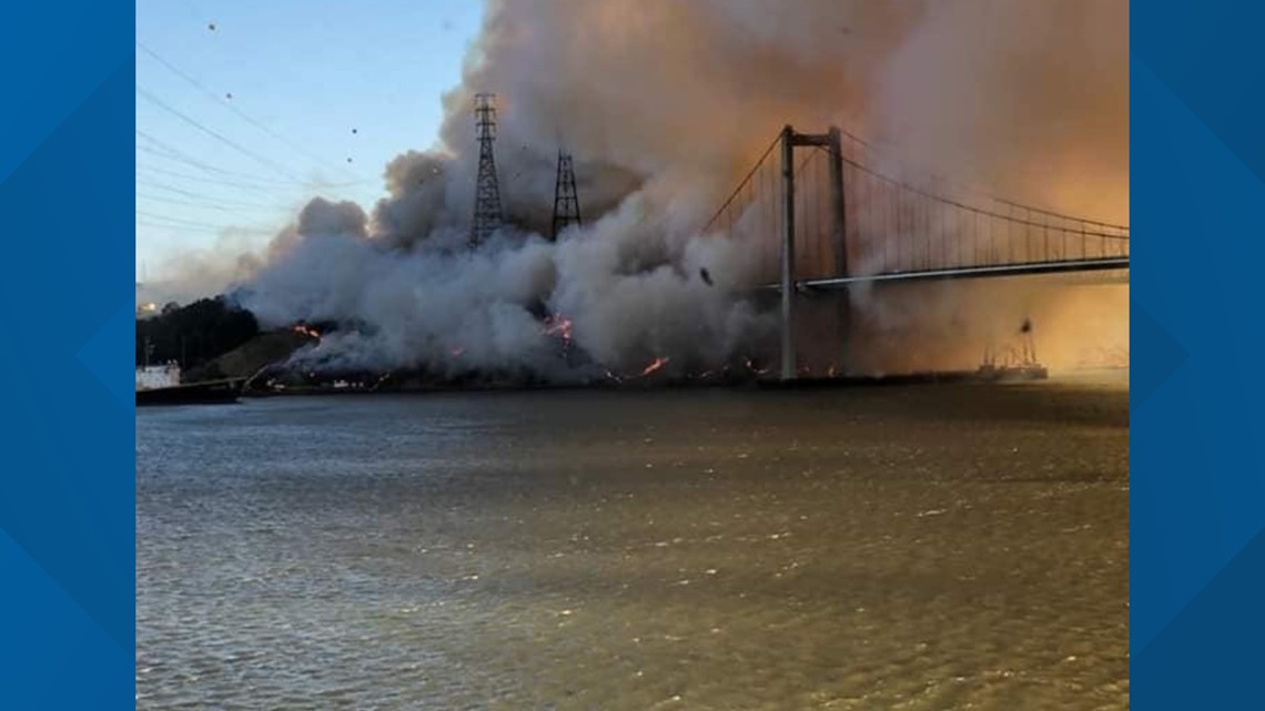
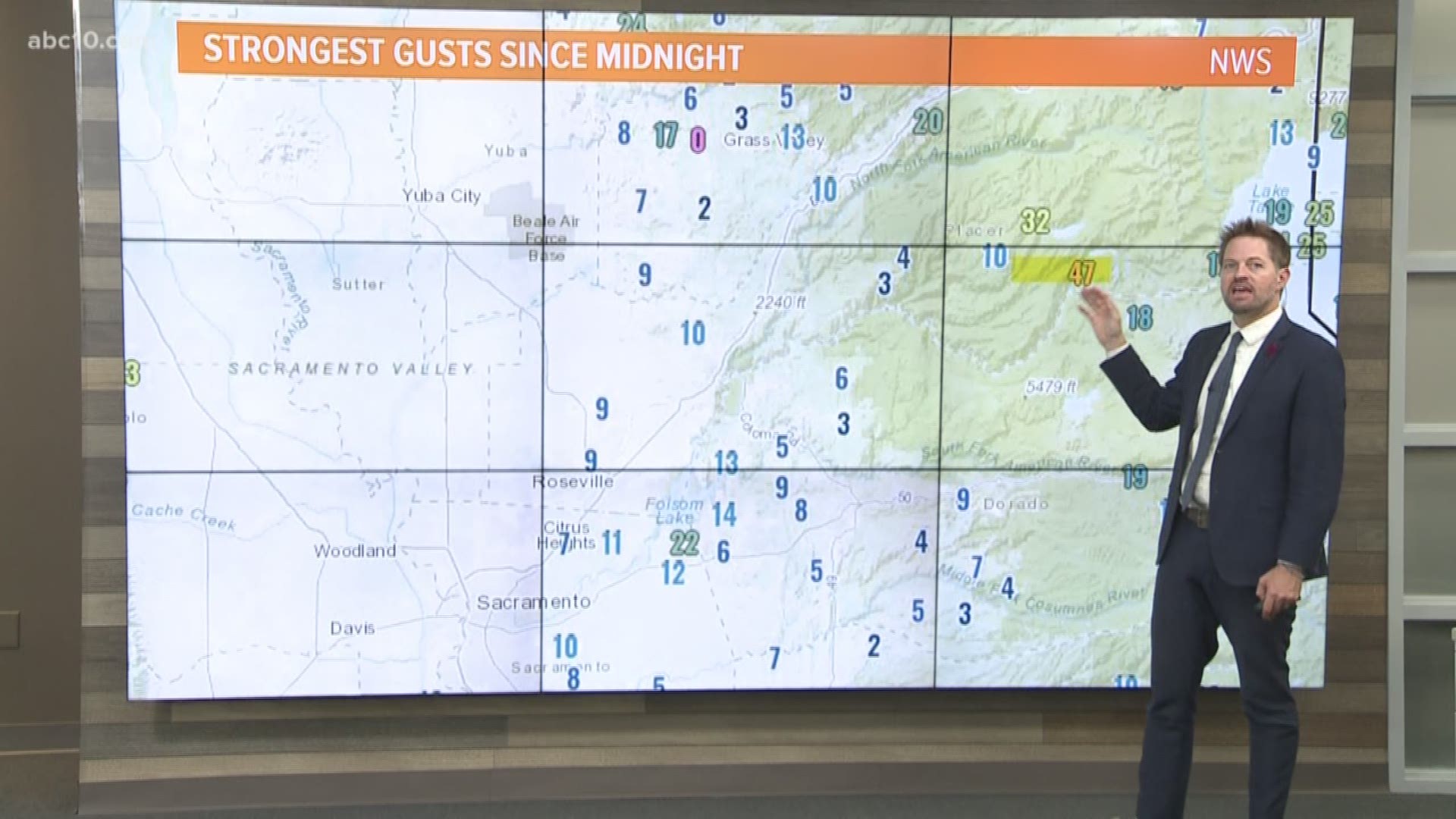
SACRAMENTO, Calif. — Just two days after extreme winds slammed northern California, a very similar event is expected once again. This latest weather phenomenon is not expected to be as intense as Sunday, but still a danger to those in fire-prone areas.


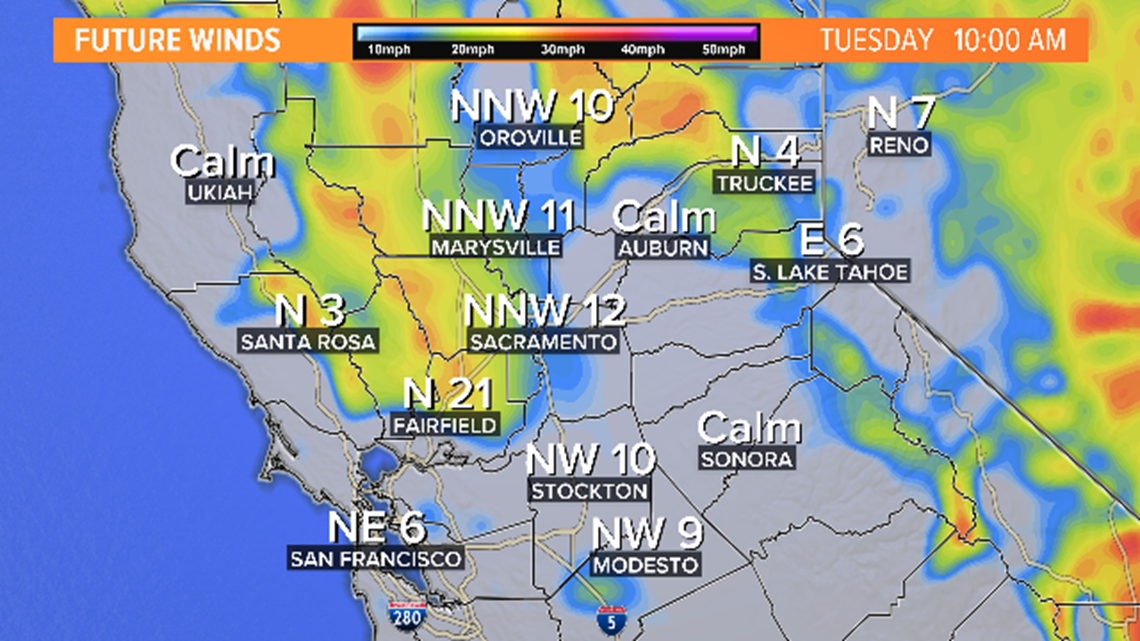
The atmosphere will see a nearly identical setup Tuesday over the west coast, as it did over the past weekend. High pressure offshore and a deep low pressure will find themselves in the same position once again. A trough tilted toward California will be slightly set to the east Tuesday, rather than directly over California. This will shift winds farther east causing the most powerful winds to target the Sierra. Still, quick-moving winds will run through the valley and coastal range.
The main difference between the two setups is the pressure gradient. Sunday's event had the high and low pushed up very close together causing the winds to be more powerful. Tuesday's event will still have a tight pressure gradient, just not pushed as closely together as Sunday. Think of it like squeezing the air out of a blow-up mattress. The more you compress the mattress, the quicker the air blows out. The same can be said about these pressure gradients.
When will it begin? Winds could start as early as Tuesday morning for some areas.


The strongest winds will start closer to 8 pm and continue overnight. By Wednesday morning winds should begin to die down.


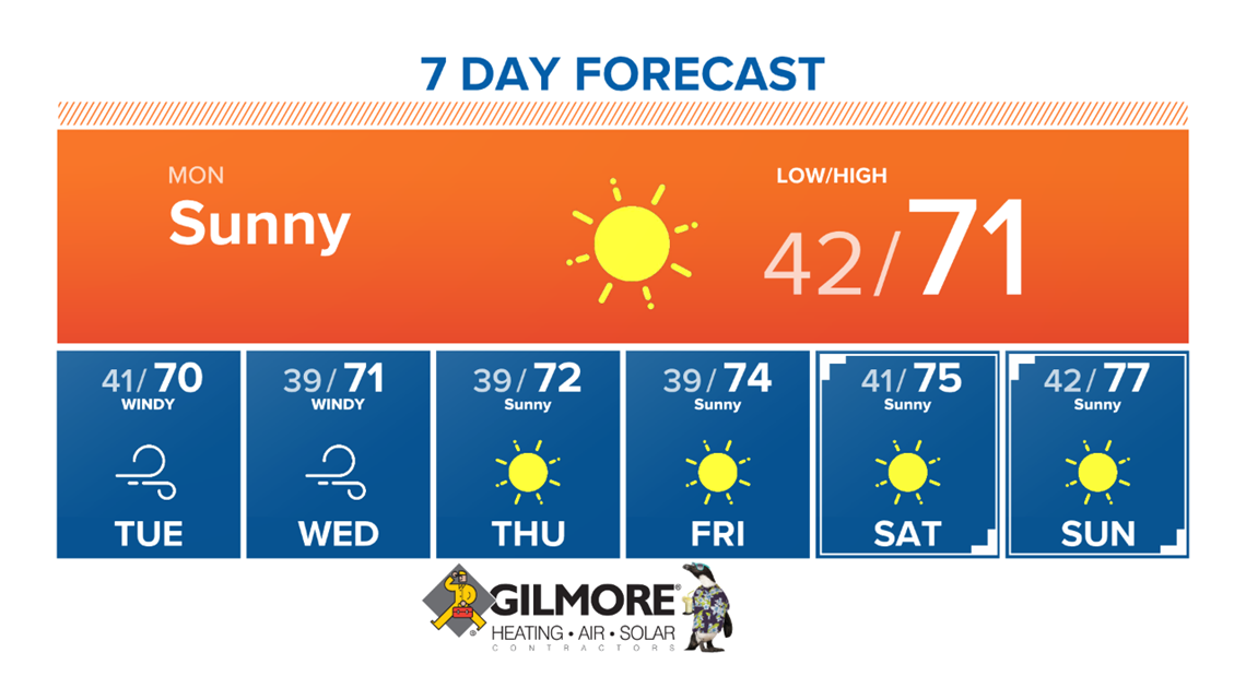
Thursday and Friday are expected to remain dry with cool temperatures slightly above average. Temperatures are expected to be in the mid-70s. Winds will settle down remaining light to calm through the weekend.


READ MORE:
FREE ABC10 APP:
►Stay In the Know! Sign up now for ABC10's Daily Blend Newsletter
WATCH MORE: LISTEN | Winds are picking up in Vacaville | RAW


